St. Michaels in Talbot County, Maryland — The American Northeast (Mid-Atlantic)
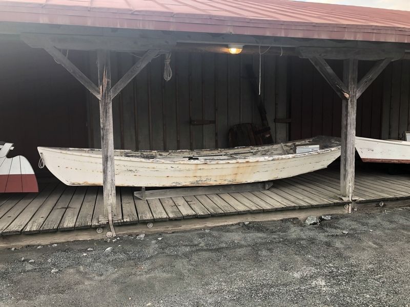
Bushwack Boat
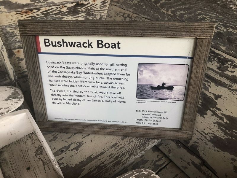
The ducks, startled by the boat, would take off directly into the hunters' line of fire. This boat was built by famed decoy carver James T. Holly of Havre de Grace, Maryland.
Built: 1923, Havre de Grade, MD by James T. Holly and restored by Edward H. Duffy
Length: 17 ft, 5 in (5.33 m)
Beam: 5 ft, 1 in (1.55m)
Erected by Chesapeake Bay Maritime Museum.
Topics. This historical marker is listed in these topic lists: Animals • Industry & Commerce • Women. A significant historical year for this entry is 1923.
Location. 38° 47.275′ N, 76° 13.181′ W. Marker is in St. Michaels, Maryland, in Talbot County. It is on Mill Street east of Burns Street, on the left when traveling east. Touch for map. Marker is at or near this postal address: 100 North Lane, Saint Michaels MD 21663, United States of America.
this page online

Regionally, this marker is on the Eastern Shore. It is also in the American Mid-Atlantic, on the Delmarva Peninsula, in the Tidewater, in the Chesapeake Bay Region, and on the Eastern Seaboard. Globally, it is in the North Atlantic Region, North America, the Western Hemisphere, the Western World, and the Anglosphere. Historically, it finds itself in what was once one of the original Thirteen Colonies and also the Antebellum South.
Other nearby markers. At least 8 other markers are within walking distance of this marker: Sharptown Barge (here, next to this marker); Small Boat Shed (here, next to this marker); Merry Widow (a few steps from this marker); Smith Island Crabbing Skiff (a few steps from this marker); Tolchester Beach Bandstand (a few steps from this marker); Chesapeake Bay Small Craft (a few steps from this marker); Smith Island Power Crabbing Skiff (a few steps from this marker); St. Michaels Packing Company Warehouse (a few steps from this marker). Touch for a list and map of all markers in St. Michaels.
Credits. This page was last revised on August 26, 2019. It was originally submitted on August 26, 2019, by Devry Becker Jones of Washington, District of Columbia. This page has been viewed 559 times since then and 33 times this year. Photos: 1, 2. submitted on August 26, 2019, by Devry Becker Jones of Washington, District of Columbia.
