Westside in Chattanooga in Hamilton County, Tennessee — The American South (East South Central)
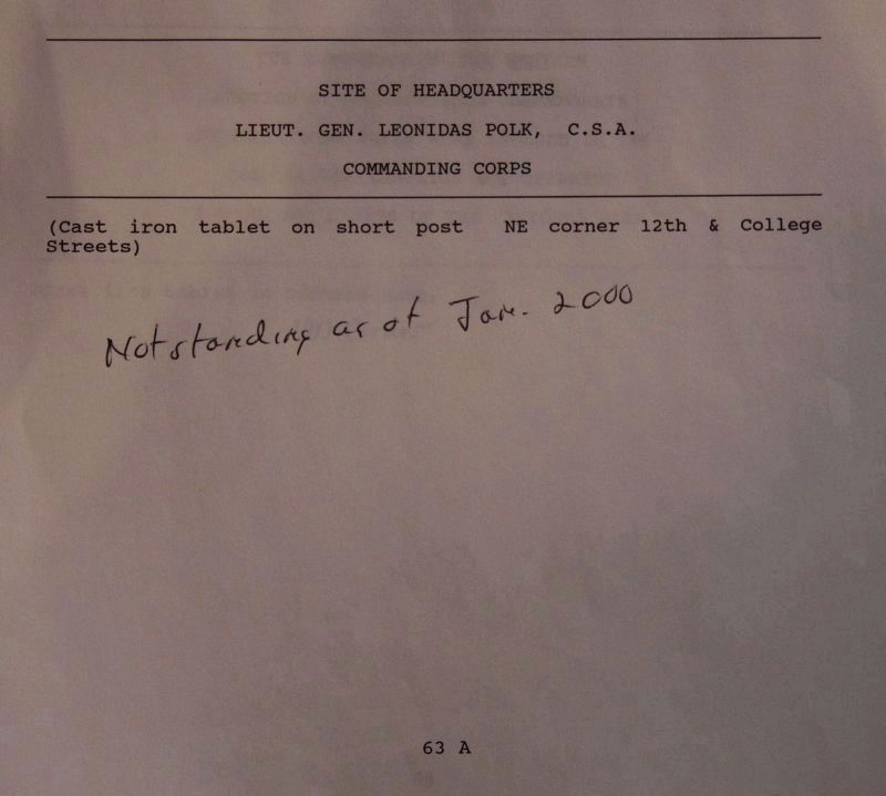
Site of Headquarters, Lieutenant General Leonidas Polk
Inscription.
Lieutenant General Leonidas Polk, C. S. A.
Commanding Corps
(Marker Number MT-63A.)
Topics. This historical marker is listed in this topic list: War, US Civil.
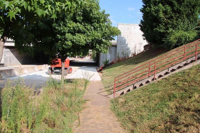
Location. Marker is missing. It was located near 35° 2.576′ N, 85° 18.874′ W. Marker was in Chattanooga, Tennessee, in Hamilton County. It was in Westside. Marker was on 12th Street west of Carter Street, on the right when traveling west. Touch for map. Marker was in this post office area: Chattanooga TN 37402, United States of America. Touch for directions.
Other nearby markers. At least 8 other markers are within walking distance of this location. The Chattanooga Brush Electric Light Company (about 600 feet away, measured in a direct line); A point in the 2D Line of Works (approx. ¼ mile away); Crane Building (approx. ¼ mile away); Military History of Chattanooga (approx. ¼ mile away); The Union Depot (approx. ¼ mile away); Crutchfield House (approx. 0.3 miles away); Site of Crutchfield House (approx. 0.3 miles away); College Hill Hospital (approx. 0.3 miles away). Touch for a list and map of all markers in Chattanooga.
More about this marker. According to the description information provided by the National Park Service, the marker is a, "Cast iron tablet on short post, northeast corner 12th and College Streets.
According to the description information provided by Suzette Raney of the Local History and Genealogy Department of the Chattanooga Public Library, the marker was situated on College Street which was, "part of the West Side Urban Renewal Project in the 1960s and was lost when Cameron Hill was cut down. College Street was still listed as of 1965 but with no residences. In 1962 street guide, College Street is listed from 311 W. 9th to W 23rd, 2 blocks west of 900 block of Carter Street. Carter Street is still here so College would have been now where US 27 is."
Regarding Site of Headquarters, Lieutenant General Leonidas Polk. With much help from Suzette Raney of the Local History and Genealogy Department of the Chattanooga Public Library, I have been able to put together some background information on these bronze and/or iron, Civil War related, tablets placed throughout the city of Chattanooga.
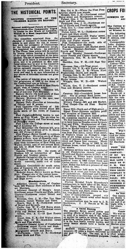
According to a newspaper article published in the Chattanooga Times on, December 1, 1893, there was a committee appointed from the chamber of commerce to identify historical points in connection with the occupancy of Chattanooga by Federal and Confederate troops. These points were to later be marked by a bronze tablet bearing a description of the
Photographed By Dale K. Benington, August 10, 2019
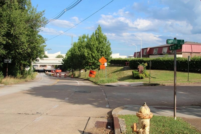
2. Site of Headquarters, Lieutenant General Leonidas Polk Marker
View, looking east along West 12th Street, from the corner of West 12th Street and Poplar Street. According to the research, the featured marker was originally situated where present day US 27 crosses over West 12th Street.
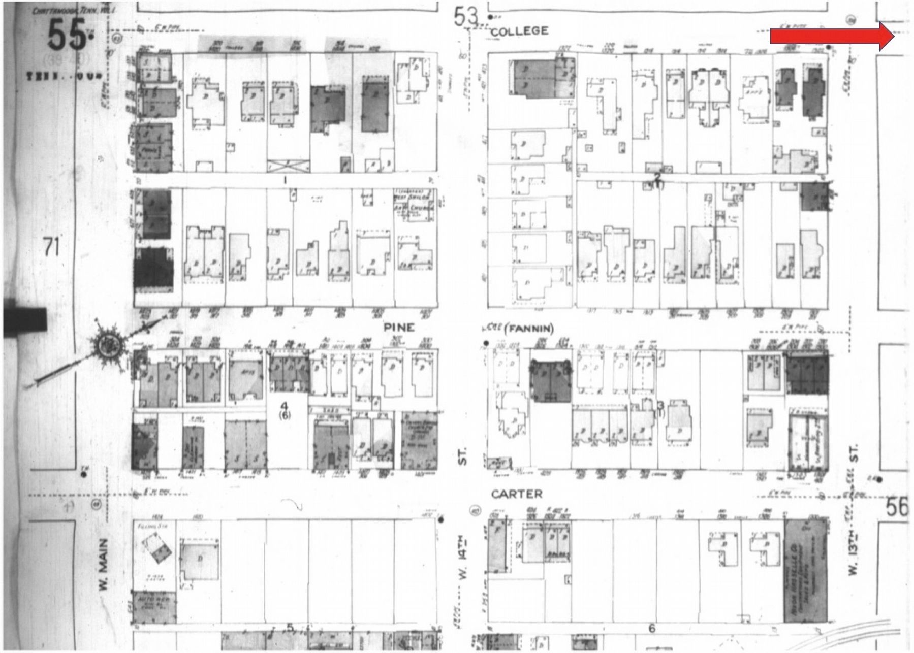
Image courtesy of the Chattanooga Public Library.
5. Sanborn Fire Insurance map
This is a view of the near marker site, prior to 1960s West Side Urban Renewal Project. The actual site, is a block to the north on College Street, which was later demolished by the construction of a new routing of US 27. The red arrow, which runs along College Street, points towards where the marker was situated (one block north).
Credits. This page was last revised on February 7, 2023. It was originally submitted on August 27, 2019, by Dale K. Benington of Toledo, Ohio. This page has been viewed 117 times since then and 10 times this year. Photos: 1, 2, 3, 4, 5, 6, 7. submitted on August 27, 2019, by Dale K. Benington of Toledo, Ohio.

