Bicknell in Wayne County, Utah — The American Mountains (Southwest)
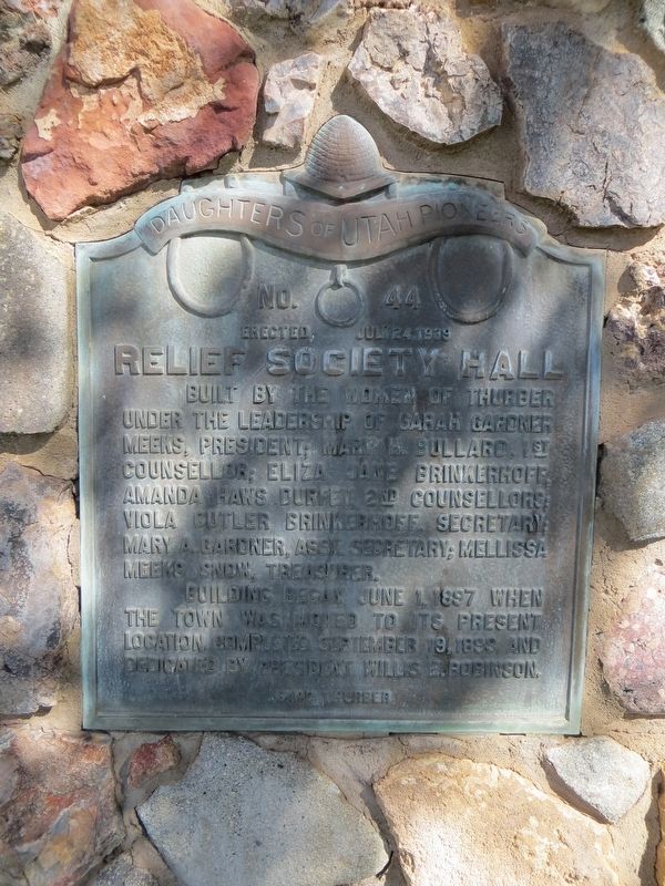
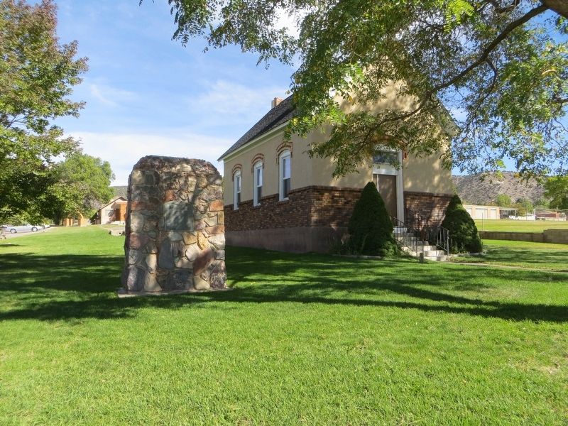
Relief Society Hall
Building began June 1, 1897 when the town was moved to its present location. Completed September 19, 1899 and dedicated by President Willis E. Robinson.
Erected 1939 by Daughters of Utah Pioneers. (Marker Number 44.)
Topics and series. This historical marker is listed in these topic lists: Churches & Religion • Women. In addition, it is included in the Daughters of Utah Pioneers series list. A significant historical date for this entry is June 1, 1897.
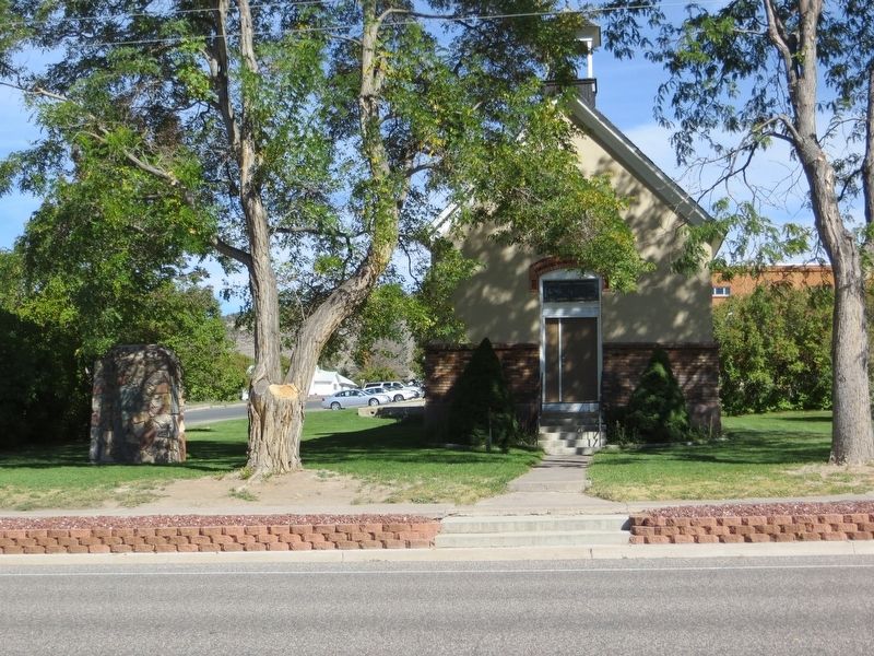
Location. 38° 20.447′ N, 111° 32.751′ W. Marker is in Bicknell, Utah, in Wayne County. Marker is at the intersection of Main Street and North 100 West, on the left when traveling east on Main Street. Marker is on the northeast corner. Touch for map. Marker is in this post office area: Bicknell UT 84715, United States of America. Touch for directions.
Other nearby markers. At least 8 other markers are within 7 miles of this marker, measured as the crow flies. Nielsen Grist Mill (approx. 3.1 miles away); The First Grave (approx. 4.8 miles away); Tarlton Lewis (approx. 5.2 miles away); First Public Building (approx. 5.4 miles away); "Tragedy in the Desert" (approx. 6.8 miles away); Loa Tithing Office (approx. 6.8 miles away); First Wayne Stake Tithing Office (approx. 6.8 miles away); Loa, Utah (approx. 6.8 miles away).
Credits. This page was last revised on August 27, 2019. It was originally submitted on August 27, 2019, by Bill Kirchner of Tucson, Arizona. This page has been viewed 198 times since then and 18 times this year. Photos: 1, 2, 3. submitted on August 27, 2019, by Bill Kirchner of Tucson, Arizona.


