Chapmanville in Logan County, West Virginia — The American South (Appalachia)
Battle of Kanawha Gap
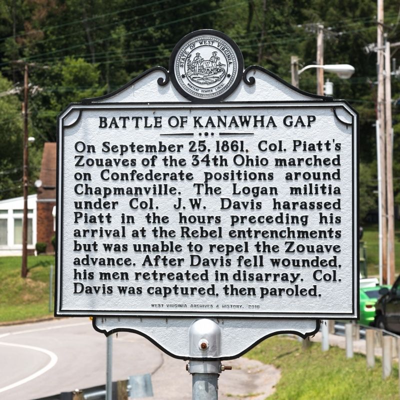
Photographed by J. J. Prats, July 15, 2019
1. Battle of Kanawha Gap Marker
On September 25, 1861, Col. Piatt’s Zouaves of the 34th Ohio marched on Confederate positions around Chapmanville. The Logan militia under Col. J. W. Davis harassed Piatt in the hours preceding his arrival at the Rebel entrenchments but was unable to repel the Zouave advance. After Davis fell wounded, his men retreated in disarray. Col. Davis was captured, then paroled.
Erected 2016 by West Virginia Archives and History.
Topics and series. This historical marker is listed in this topic list: War, US Civil. In addition, it is included in the West Virginia Archives and History series list. A significant historical date for this entry is September 25, 1861.
Location. 37° 58.478′ N, 82° 0.864′ W. Marker is in Chapmanville, West Virginia, in Logan County. It is at the intersection of U.S. 119 Ramp to Crawley Road and WV 10 and U.S. 119, on the right when traveling north on U.S. 119 Ramp to Crawley Road and WV 10. It is at the Park & Ride lot. Touch for map. Marker is in this post office area: Chapmanville WV 25508, United States of America. Touch for directions.

Regionally, this marker is in the Southern Coalfields. It is also in the
this page online
Other nearby markers. At least 8 other markers are within 6 miles of this marker, measured as the crow flies: Logan County / Lincoln County (approx. 3.4 miles away); Chief Logan's Speech (approx. 5.6 miles away); Aunt Jenny Wilson (approx. 5.6 miles away); Logan County Coal Miners Memorial (approx. 5.6 miles away); Tom "Rose" Tomblin (approx. 5.7 miles away); The Courthouse Bell (approx. 5.7 miles away); Chesapeake & Ohio 2755 Steam Locomotive (approx. 5.7 miles away); Chesapeake and Ohio Kanawha (approx. 5.7 miles away).
Also see . . . Chapmanville, West Virginia. Wikipedia entry (Submitted on March 4, 2023, by Larry Gertner of New York, New York.)
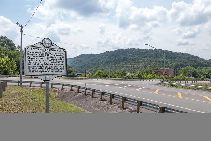
Photographed by J. J. Prats, July 15, 2019
2. Battle of Kanawha Gap Marker
Credits. This page was last revised on December 18, 2024. It was originally submitted on August 28, 2019, by J. J. Prats of Powell, Ohio. This page has been viewed 994 times since then and 82 times this year. Photos: 1, 2. submitted on August 28, 2019, by J. J. Prats of Powell, Ohio.
