Jim Thorpe in Carbon County, Pennsylvania — The American Northeast (Mid-Atlantic)
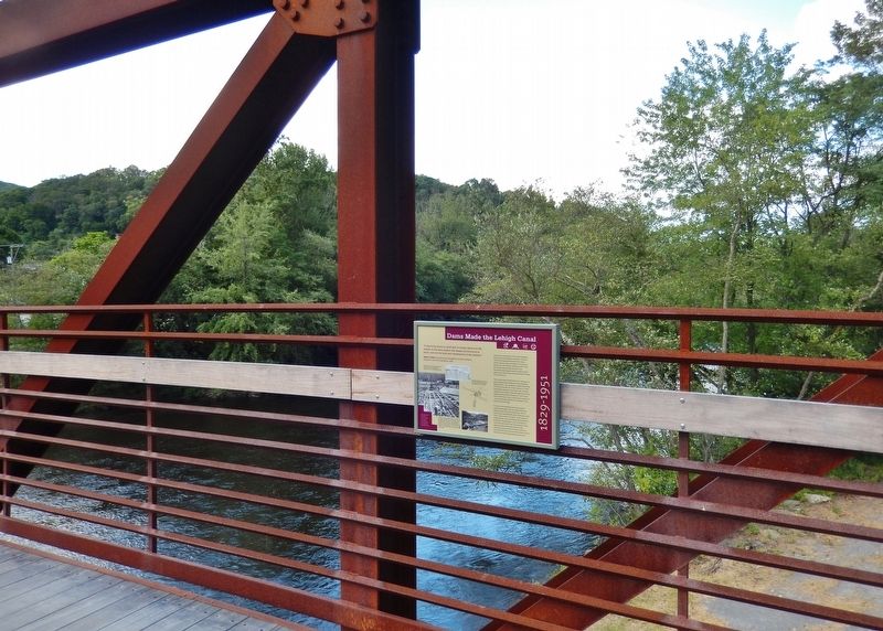
Dams Made the Lehigh Canal
1829-1951
Edwin F. Smith, Dam Building in Navigable and Other Streams (Engineers Club of Philadelphia), 1888.
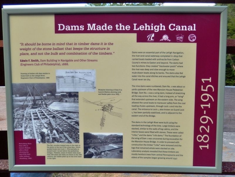
Dams were an essential part of the Lehigh Navigation, the river-and-canal waterway completed in 1829 that carried boats loaded with anthracite from Carbon County's mines to Easton and beyond. The dams had two functions: they created "slackwater pools" where the river was deep and slow enough to move mule-drawn boats along its banks. The dams also fed water into the canal ditches and ensured that the Lehigh Canal never ran dry.
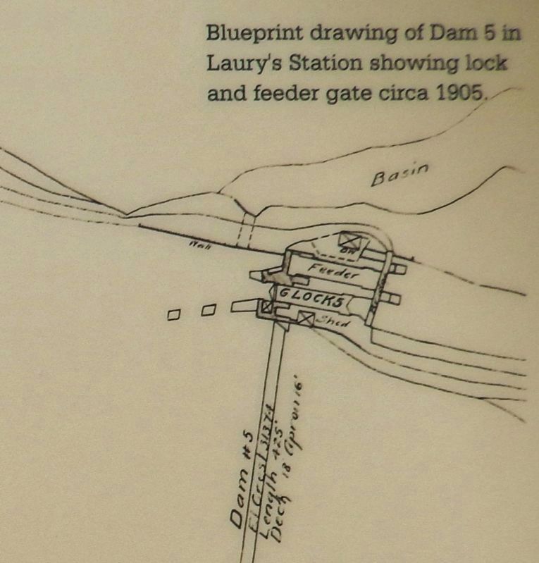
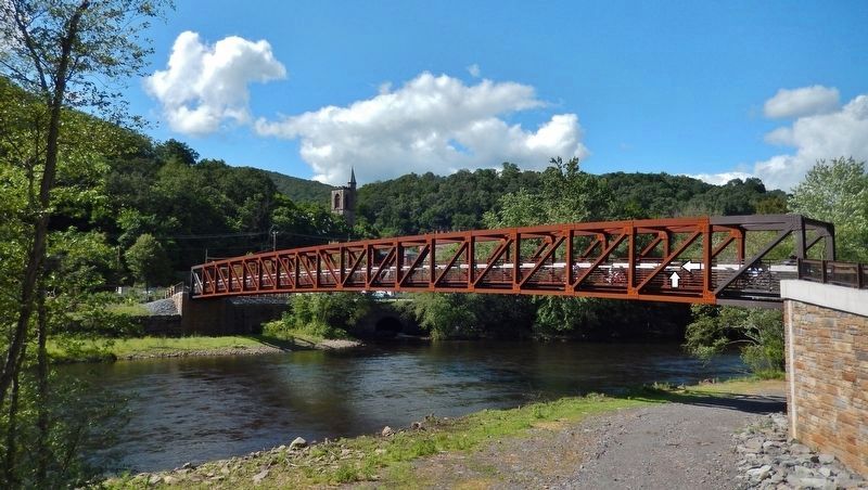
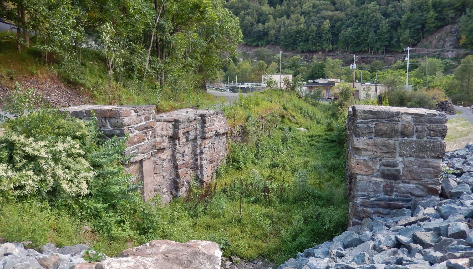
The nine dams were numbered; Dam No. 1 was about 10 yards upstream of the new Mansion House Pedestrian Bridge. Dam No. 1 was a wing dam; instead of stretching all the way across the river, it had a long arm, or "wing" that extended upstream on the eastern side. The wing allowed the canal boats to maneuver safely from the coal loading chutes upstream, through Lock 1 and into the canal. The entrance to Lock 1, also known as Guard Lock 1, has been partially stabilized, and is adjacent to the eastern end of the Bridge.
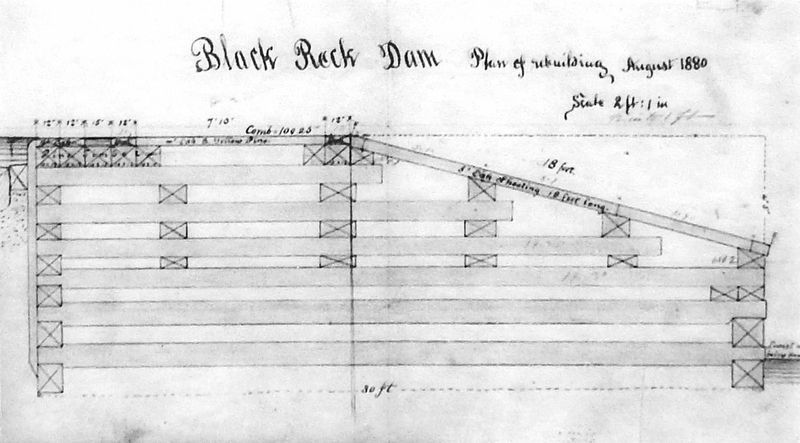
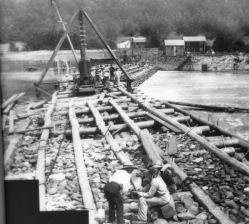
The dams in the Lehigh River were built using the standard technology of the time. Large timbers were stacked, similar to the walls of log cabins, and the interior boxes were filled with stones. These were called "cribs," and the dams "crib dams." The foundation of the wing of Dam 1 was uncovered during excavation for the Mansion House Bridge. In order to proceed with construction the timber "cribs" were removed and the logs that remained whole were stacked on site. Laboratory analysis revealed that these timbers are mostly hemlock trees from central Pennsylvania and the oldest of the samples began growing around 1547.
Erected 2019 by Delaware & Lehigh National Heritage Corridor, Pennsylvania Department of Transportation, Pennsylvania State Parks, and Carbon County.
Topics and series. This historical marker is listed in these topic lists: Industry & Commerce • Man-Made Features • Waterways & Vessels. In addition, it is included in the Lehigh Canal series list. A significant historical year for this entry is 1888.
Location. 40° 51.703′ N, 75° 44.229′ W. Marker is in Jim Thorpe, Pennsylvania, in Carbon County. Marker can be reached from Susquehanna Street (U.S. 209) 0.1 miles south of Race Street, on the left when traveling south. Marker is mounted on the inside of the north railing, near the east end of the pedestrian bridge that carries the Delaware & Lehigh Trail
across the Lehigh River heading southeast from the Jim Thorpe/Mauch Chunk Railroad Station. Touch for map. Marker is at or near this postal address: 1 Susquehanna Street, Jim Thorpe PA 18229, United States of America. Touch for directions.
Other nearby markers. At least 8 other markers are within walking distance of this marker. Coal Transport in Mauch Chunk (within shouting distance of this marker); The Mansion House (within shouting distance of this marker); Mauch Chunk Railroad Station (about 500 feet away, measured in a direct line); Anthracite (about 600 feet away); From Mountain to Market (about 600 feet away); Packer Mansion (about 600 feet away); Carbon County (about 800 feet away); Joe Boyle Plaza (approx. 0.2 miles away). Touch for a list and map of all markers in Jim Thorpe.
Also see . . . Lehigh Canal (Wikipedia). The lower section spanned the distance between Easton, Pennsylvania and the town of Mauch Chunk, present-day Jim Thorpe, Pennsylvania. The route consisted of the canals and dammed-off sections of the Lehigh River. Boatmen had to navigate their barges periodically from the canal through a lock onto the river or vice versa. (Submitted on August 30, 2019, by Cosmos Mariner of Cape Canaveral, Florida.)
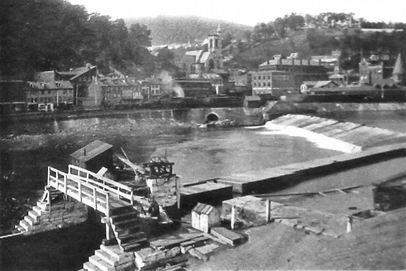
5. Marker detail: The flat, wooden-topped area to the right is the top of the wing dam
The wing dam guided boats into Lock 1. (The partially-restored Lock 1 is just below the pedestrian bridge.) Timbers, some of which were more than 300 years old when cut down in the 19th century, are visible piled up on the river bank to the right.
Credits. This page was last revised on August 30, 2019. It was originally submitted on August 29, 2019, by Cosmos Mariner of Cape Canaveral, Florida. This page has been viewed 339 times since then and 44 times this year. Photos: 1, 2, 3, 4, 5, 6, 7, 8. submitted on August 30, 2019, by Cosmos Mariner of Cape Canaveral, Florida.
