Near Arcadia Farm in Clarke County, Virginia — The American South (Mid-Atlantic)
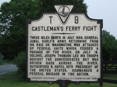
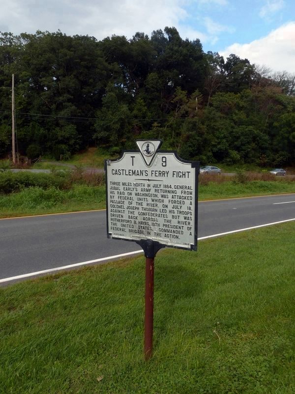
Castleman’s Ferry Fight
Three miles north in July 1864, General Jubal Early’s army, returning from his raid on Washington, was attacked by Federal units which forced a passage of the river. On July 18, Colonel Joseph Thoburn led his troops against the Confederates but was driven back across the river. Rutherford B. Hayes, 19th President of the United States, commanded a Federal brigade in the action.
Erected 1968 by Virginia Historic Landmarks Commission. (Marker Number T–9.)
Topics and series. This historical marker is listed in this topic list: War, US Civil. In addition, it is included in the Former U.S. Presidents: #19 Rutherford B. Hayes, and the Virginia Department of Historic Resources (DHR) series lists. A significant historical month for this entry is July 1864.
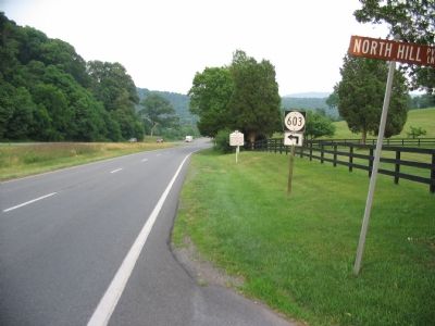
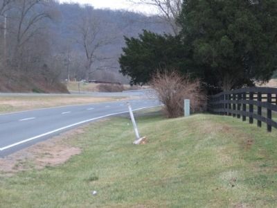
Location. 39° 7.587′ N, 77° 53.815′ W. Marker is near Arcadia Farm, Virginia, in Clarke County. Marker is at the intersection of Harry Byrd Highway (Virginia Route 7) and North Hill Lane, on the right when traveling east on Harry Byrd Highway. Marker is just west of the Smalley Bridge. Touch for map. Marker is at or near this postal address: 67 N Hill Ln, Berryville VA 22611, United States of America. Touch for directions.
Other nearby markers. At least 8 other markers are within 2 miles of this marker, measured as the crow flies. Battle of Cool Spring (about 800 feet away, measured in a direct line); The Retreat (approx. half a mile away); Colonial Highway (approx. 0.7 miles away); a different marker also named Battle of Cool Spring (approx. 1.6 miles away); Judge Parker's “Retreat” & the Battle of Cool Spring (approx. 1.6 miles away); Col. George D. Wells Leads the Way (approx. 1.6 miles away); Confederate Counterattack and Union Retreat (approx. 1.7 miles away); a different marker also named Battle of Cool Spring (approx. 1.7 miles away). Touch for a list and map of all markers in Arcadia Farm.
Related marker. Click here for another marker that is related to this marker. A Virtual Tour by HMDb markers
Also see . . . Battle of Cool Spring - Castleman's Ferry. American Battlefield Trust website entry (Submitted on August 30, 2019, by Allen C. Browne of Silver Spring, Maryland.)
Photographed By Craig Swain, June 18, 2007
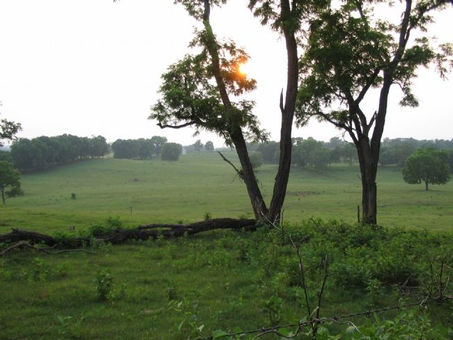
5. Confederate Positions
According to The Official Virginia Civil War Battlefield Guide by John S. Salmon, the Confederate forces were concealed from Federal forces by the rolling terrain West of the river. This pasture ground near the Holy Cross Abby is typical of the surrounding terrain.
Credits. This page was last revised on August 3, 2022. It was originally submitted on June 19, 2007, by Craig Swain of Leesburg, Virginia. This page has been viewed 3,399 times since then and 106 times this year. Last updated on August 30, 2019, by Allen C. Browne of Silver Spring, Maryland. Photos: 1, 2. submitted on June 19, 2007, by Craig Swain of Leesburg, Virginia. 3. submitted on May 4, 2009, by Craig Swain of Leesburg, Virginia. 4. submitted on August 30, 2019, by Allen C. Browne of Silver Spring, Maryland. 5. submitted on June 19, 2007, by Craig Swain of Leesburg, Virginia. • Bill Pfingsten was the editor who published this page.
