Johnsburg in Warren County, New York — The American Northeast (Mid-Atlantic)
The Forest Preserve and Adirondack Park
Inscription.
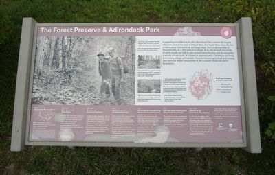
Comprising six million acres, the Adirondack Park contains the largest wilderness area in the eastern United States. It is nearly three times the size of Yellowstone National Park and larger than the Commonwealth of Massachusetts. As a state park, it is unique in its mix of land ownership, of which nearly one-half is state-owned Forest Preserve and the remainder is mostly private lands. It is home to approximately 130,000 people living in its towns, villages and hamlets. Tourism, forestry, agriculture and mining have been the major components of the economy within the Park’s boundaries.
Left Photo- local residents Emmett Higgins (left) and John Cornwall (right) returning home from a fishing trip in the Forest Preserve in the 1930s. John was a gemologist well known for his work with garnet stones.
Forest land that was logged over and then burned by a wildfire – a common sight in the Adirondacks in the latter half of the 19th century.
Typical northern forest lands in thre Adirondack Park today – much of which has regenerated from previous timber harvests.
…After careful consideration of the projected forest park, with its practical bearing upon the interests of the people of the whole State, we are of the opinion that the protection of a great portion of the forest from wanton destruction is absolutely and immediately required. – First Annual Report of the Commissioners of State Parks of the State of New York, May 14, 1873.
1872-1873 Commission of State Parks. In 1872, the New York Legislature created the Commission of State Parks. In its first Annual Report, dated May 14, 1873, the Commission strongly recommended protecting the Adirondack Forest and creating the Adirondack Park.
1883-1885 Creation of the Forest Preserve. In 1883, the State Legislature passed a law forbidding the further sale of State Lands. In 1884, it appointed the Forestry Commission to consider a “system of forest preservation.” In 1885, it created the Forest Reserve, comprising land to be kept as wild forest but without controls on timber harvesting.
1892 Establishment of the Adirondack Park. With support from many groups, the Legislature created the Adirondack Park in 1892, based upon boundaries of a proposed “Blue Line” drawn on a map in 1891. The Forest Commission had recommended an “unbroken domain” of Forest Preserve within the Blue Line, whereas others contended that it was not the State’s intention to acquire all lands within the park.
1895 Constitutional Amendment to Protect the Forest Preserve. With concern for continued logging and road construction on state lands, the New York State Constitution was amended to insure that
the Forest Preserve “…shall be forever kept as wild forest lands. They shall not be leased, sold or exchanged…nor shall the timber thereon be sold, removed or destroyed…”
1911 New York State Conservation Department Established. The new Department consolidated several prior commissions to more effectively manage the Forest Preserve. In 1970, it was reorganized as the Department of Environmental Conservation (DEC).
1971-1972 Creation of the Adirondack Park Agency. In 1971 the Adirondack Park Agency (APA) was created with planning, policy and regulatory responsibilities for both public and private lands in the Adirondack Park. It fulfills its mandates through the State Land Master Plan for the Forest Preserve, and the Land Use and Development Plan for all other lands inside the Park.
New York State has the oldest state forest system in the nation. The establishment of the Forest Preserve and the Adirondack Park are major landmarks in America’s conservation movement.
Erected by New York State Adirondack Park Agency and Department of Environmental Conservation.
Topics. This historical marker is listed in this topic list: Parks & Recreational Areas. A significant historical date for this entry is May 14, 1873.
Location. 43° 43.722′ N, 74° 1.093′ W. Marker is in Johnsburg, New York
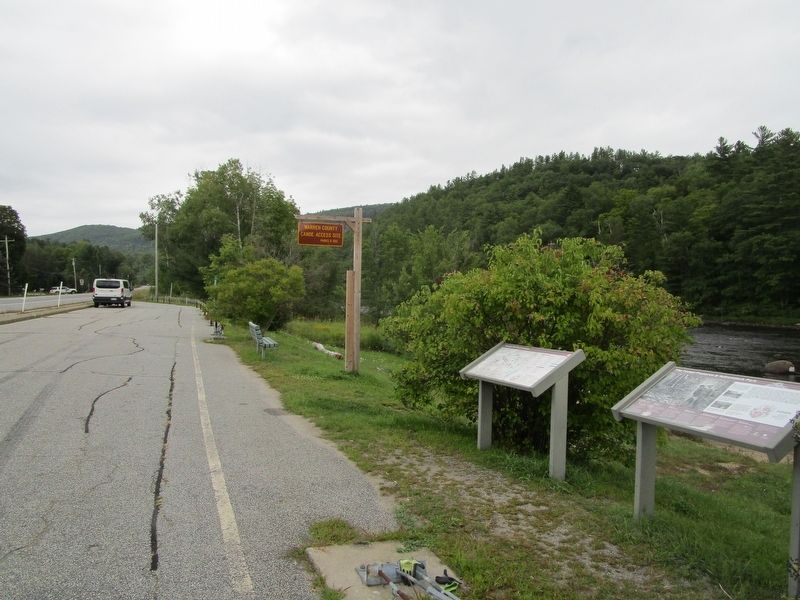
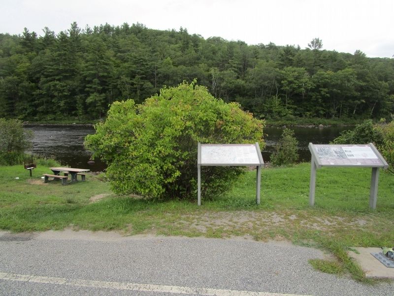
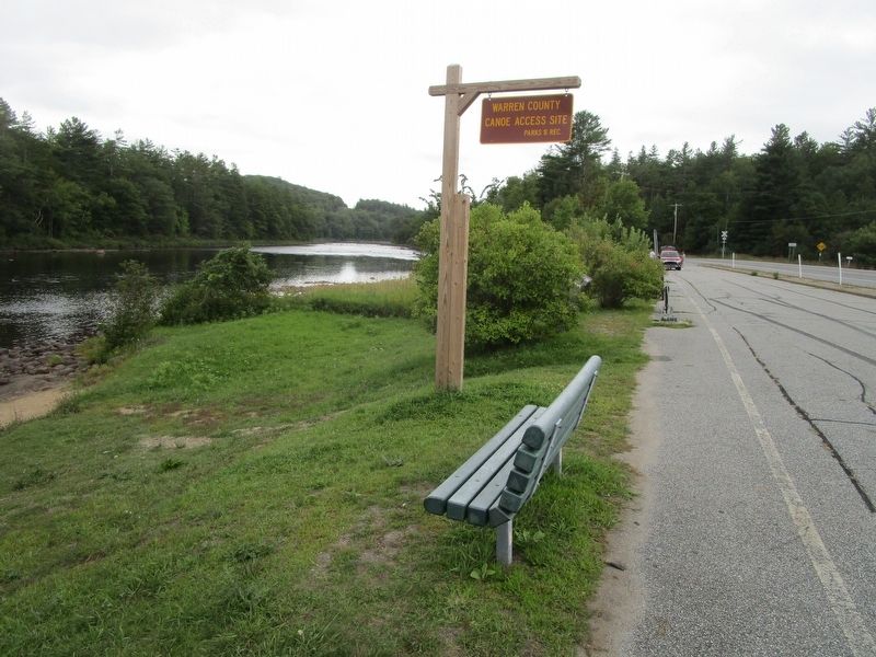
, in Warren County. Marker is on New York State Route 28, 2 miles north of Main Street, on the right when traveling north. Marker is at a linear Hudson River access area between the village of North Creek and the hamlet of North River. Touch for map. Marker is in this post office area: Johnsburg NY 12843, United States of America. Touch for directions.
Other nearby markers. At least 8 other markers are within 3 miles of this marker, measured as the crow flies. Theodore Roosevelt (approx. 2.3 miles away); a different marker also named Theodore Roosevelt (approx. 2.3 miles away); North Creek Railway Station (approx. 2.3 miles away); Welcome to North Creek (approx. 2.3 miles away); a different marker also named Theodore Roosevelt (approx. 2.3 miles away); a different marker also named Theodore Roosevelt (approx. 2.3 miles away); North Creek Depot (approx. 2.3 miles away); Adirondack Railway Company (approx. 2.3 miles away).
Credits. This page was last revised on August 30, 2019. It was originally submitted on August 30, 2019, by Anton Schwarzmueller of Wilson, New York. This page has been viewed 151 times since then and 8 times this year. Photos: 1, 2, 3, 4, 5. submitted on August 30, 2019, by Anton Schwarzmueller of Wilson, New York.
