Near Fort Oglethorpe in Catoosa County, Georgia — The American South (South Atlantic)
82nd Indiana Infantry
Connell's Brigade
| — | Brannan's Division | — |
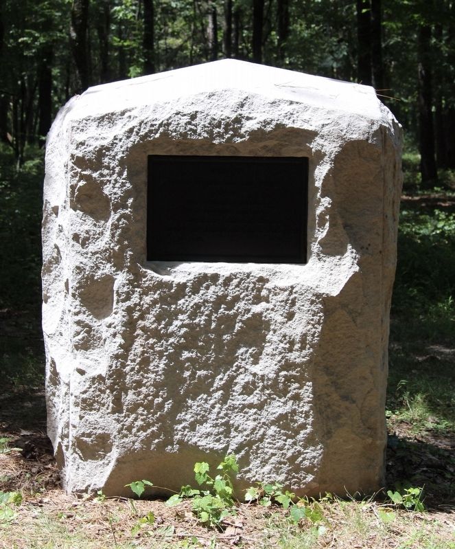
Photographed by Dale K. Benington, August 11, 2019
1. 82nd Indiana Infantry Marker
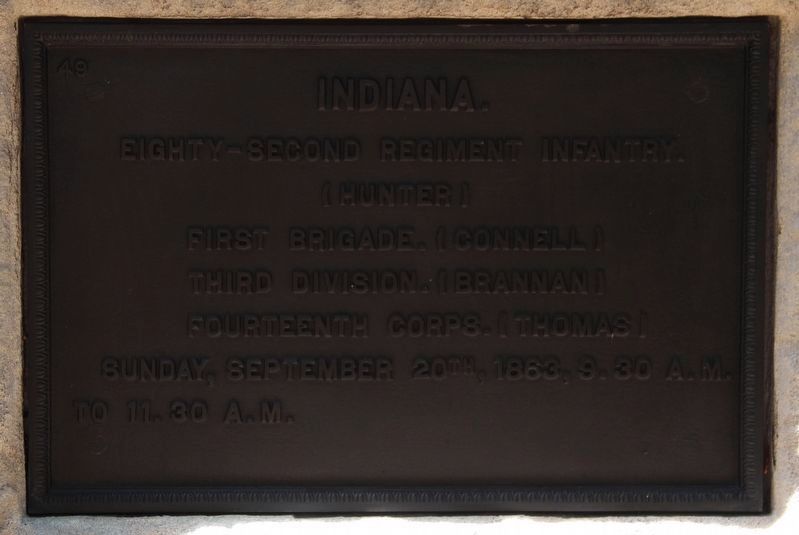
Eighty-Second Regiment Infantry.
(Hunter)
First Brigade. (Connell)
Third Division. (Brannan)
Fourteenth Corps. (Thomas)
Sunday, September 20th, 1863, 9:30 A.M.
to 11:30 A.M.
Erected 1898 by the State of Indiana. (Marker Number MT-841.)
Topics. This historical marker is listed in these topic lists: Parks & Recreational Areas • War, US Civil. A significant historical date for this entry is September 20, 1863.
Location. 34° 55.156′ N, 85° 15.751′ W. Marker is near Fort Oglethorpe, Georgia, in Catoosa County. It is on Dyer Road west of LaFayette Road, on the right when traveling west. This marker is located in the National Military Park that preserves the site of the Chickamauga Battlefield, and is situated along one of the park hiking trails, in the woods, north of the Brotherton House site. Touch for map. Marker is in this post office area: Fort Oglethorpe GA 30742, United States of America. Touch for directions.

Regionally, this marker is in Georgia’s Mountains. It is also in the American South and specifically in the Deep South. Globally, it is in North America, the Western Hemisphere, the Western
this page online
Other nearby markers. At least 8 other markers are within walking distance of this marker: 6th Ohio Battery (about 300 feet away, measured in a direct line); 19th Indiana Battery (about 400 feet away); Negley's Division (about 500 feet away); Woods Division (about 500 feet away); 26th Tennessee Infantry (about 500 feet away); Robertson's Brigade (about 500 feet away); McNair's Brigade (about 500 feet away); Buell's Brigade (about 500 feet away). Touch for a list and map of all markers in Fort Oglethorpe.
More about this marker. I used the "Chickamauga Battlefield" map, that I purchased at the Chickamauga and Chattanooga National Military Park, Visitor Center, to determine both the marker number for this marker and the marker's location in relation to the rest of the park's monuments, markers, and tablets. According to the map it provides the, "numerical listing of all
Photographed by Dale K. Benington, August 11, 2019
2. 82nd Indiana Infantry Marker
Close-up view of the text on this marker.
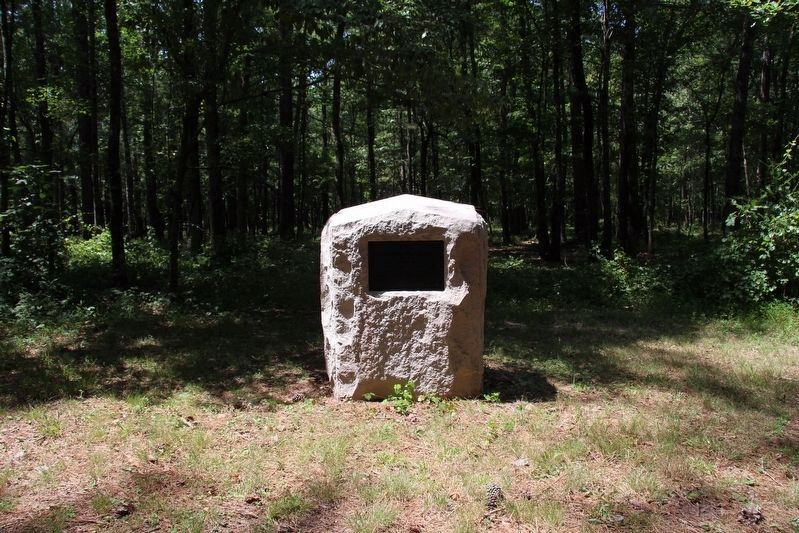
According to the description information provided by the National Park Service, “This standard Indiana marker consists of a 4' x 4' x 4'8" high rock-faced oolitic stone block with a peaked top and a 12" x 18" bronze plaque affixed to its front. Marks regiment's position east of the Dyer House site."
Photographed by Dale K. Benington, August 11, 2019
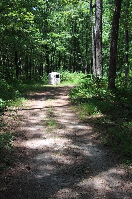
3. 82nd Indiana Infantry Marker
Distant view of the marker, looking north along the park hiking trail.
Photographed by Dale K. Benington, August 11, 2019
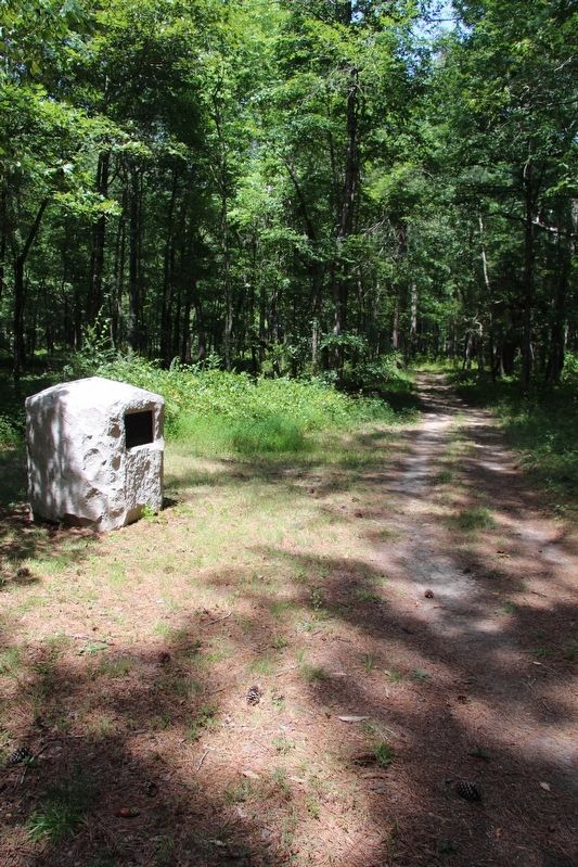
4. 82nd Indiana Infantry Marker
View of the marker, looking north along the park hiking trail.
Photographed by Dale K. Benington, August 11, 2019
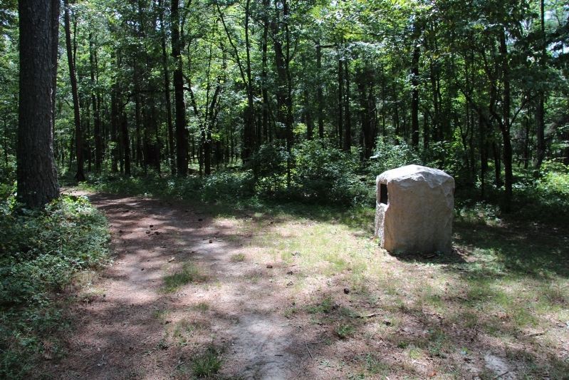
5. 82nd Indiana Infantry Marker
View of the marker situated along the west side of the park trail.
Photographed by Dale K. Benington, August 11, 2019
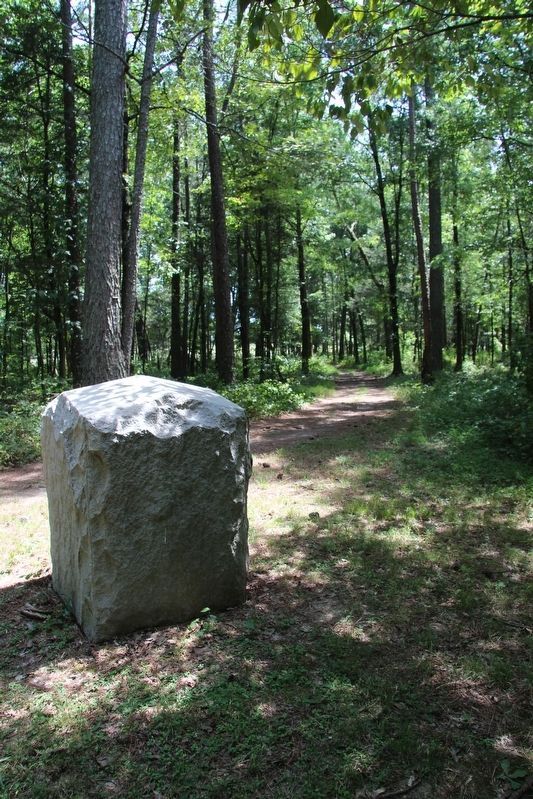
6. 82nd Indiana Infantry Marker
View of the marker, looking south along the park hiking trail.
Photographed by Dale K. Benington, August 11, 2019
7. 82nd Indiana Infantry Marker
Another closer view of the marker, looking further south along the park hiking trail.
Credits. This page was last revised on October 15, 2020. It was originally submitted on August 30, 2019, by Dale K. Benington of Toledo, Ohio. This page has been viewed 265 times since then and 23 times this year. Photos: 1. submitted on August 30, 2019, by Dale K. Benington of Toledo, Ohio. 2, 3, 4, 5, 6, 7. submitted on September 1, 2019, by Dale K. Benington of Toledo, Ohio.
