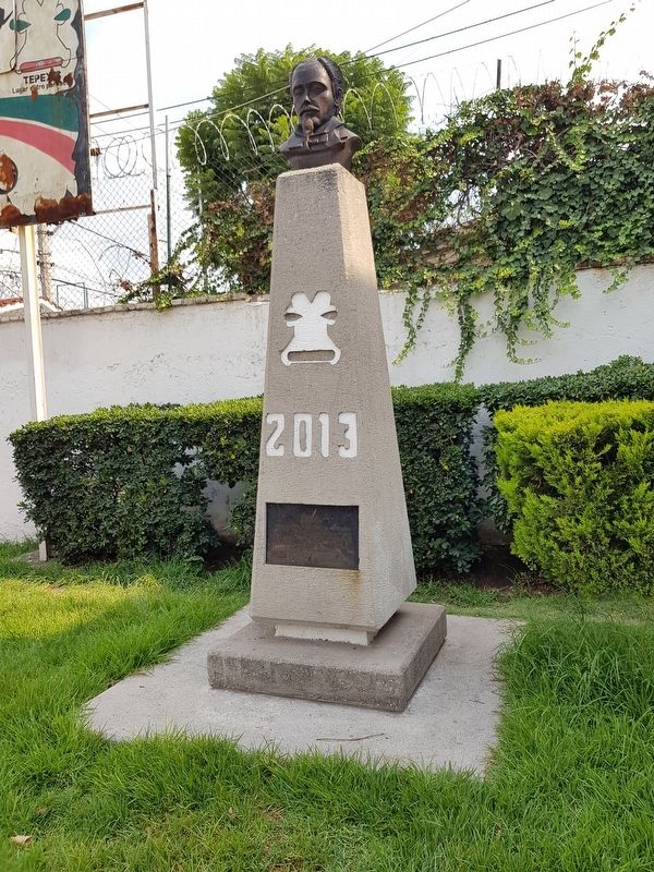
Tepeji del Río, Hidalgo, Mexico — The Central Highlands (North America)
The Founding of Tepeji del Río
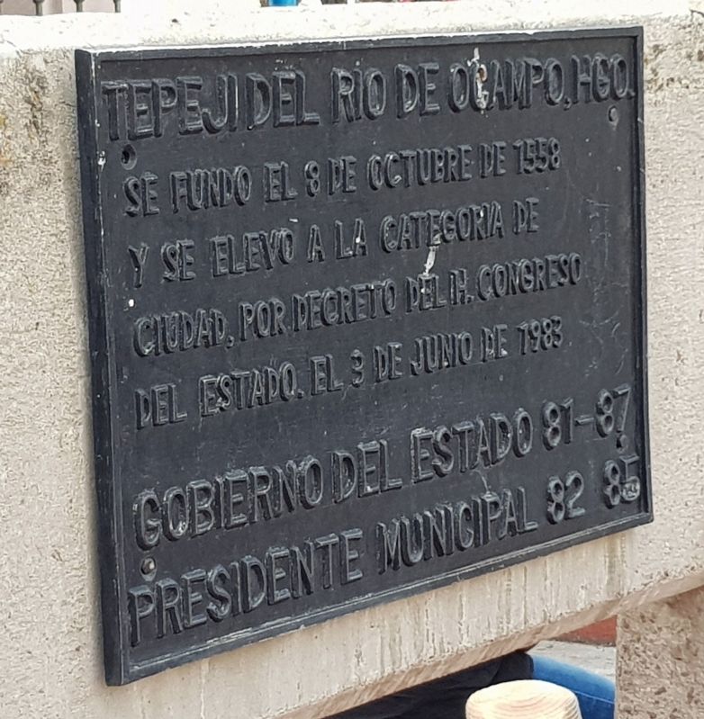
Se fundo el 8 de octubre de 1558 y se elevo a la categoría de ciudad, por decreto del H. Congreso del Estado, el 3 de junio de 1983.
Gobierno del Estado 81-87
Presidente Municipal 82 85
Tepeji del Río de Ocampo, Hidalgo
Tepeji was founded on October 8, 1558 and elevated to the category of City, by decree of the Honorable State Congress, on June 3, 1983.
Government of the State 1981-87
Municipal Presidency 1982-85
Topics. This historical marker is listed in these topic lists: Colonial Era • Political Subdivisions • Settlements & Settlers. A significant historical date for this entry is June 3, 1983.
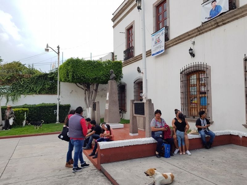
Location. 19° 54.29′ N, 99° 20.468′ W. Marker is in Tepeji del Río, Hidalgo. Marker is at the intersection of Jardín Hidalgo and Avenida Melchor Ocampo, on the left when traveling east on Jardín Hidalgo. Touch for map. Marker is in this post office area: Tepeji del Río HGO 45130, Mexico. Touch for directions.
Other nearby markers. At least 8 other markers are within 18 kilometers of this marker, measured as the crow flies. Camino Real de Tierra Adentro (within shouting distance of this marker); Melchor Ocampo (approx. 3.3 kilometers away); La Hacienda de la Cañada (approx. 9.2 kilometers away); The Aqueduct of Xalpa (approx. 15.4 kilometers away in Estado de Mexico); Sierra of Tepotzotlán (approx. 15.5 kilometers away in Estado de Mexico); The Atrium's Cross at Tula (approx. 16.7 kilometers away); Building K (approx. 17.6 kilometers away); Pyramid C and the Adoratory (approx. 17.7 kilometers away). Touch for a list and map of all markers in Tepeji del Río.
Credits. This page was last revised on August 30, 2019. It was originally submitted on August 30, 2019, by J. Makali Bruton of Accra, Ghana. This page has been viewed 131 times since then and 26 times this year. Photos: 1, 2, 3, 4, 5. submitted on August 30, 2019, by J. Makali Bruton of Accra, Ghana.
