Solomons in Calvert County, Maryland — The American Northeast (Mid-Atlantic)
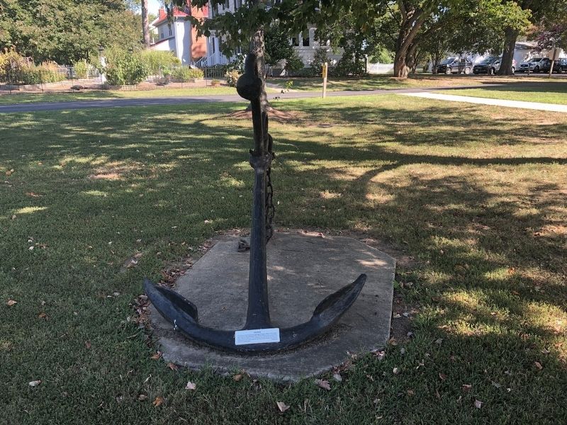
Anchor
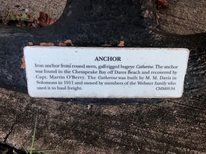
CMM69.94
Topics. This historical marker is listed in this topic list: Waterways & Vessels. A significant historical year for this entry is 1911.
Location. Marker has been permanently removed. It was located near 38° 19.881′ N, 76° 27.904′ W. Marker was in Solomons, Maryland, in Calvert County. It could be reached from Solomons Island Road South (Maryland Route 2) just south of Thomas Johnson Road, on the left when traveling south. Touch for map. Marker was at or near this postal address: 14200 Solomons Island Road South, Solomons MD 20688, United States of America.
We have been informed that this marker is no longer there and will not be replaced. This page is an archival view of what was.
Regionally, this marker was in Southern Maryland. It was also in the American South, specifically in the Upper South, in the Mid-Atlantic,

this page online
Other nearby markers. At least 8 other markers are within walking distance of this location: The Honor Tree (here, next to this marker); This Is A Sundial (within shouting distance of this marker); Volunteer (within shouting distance of this marker); Founders of the Calvert Marine Museum (within shouting distance of this marker); Calvert County (within shouting distance of this marker); Drum Point Lighthouse (about 300 feet away, measured in a direct line); Perils along the Patuxent (about 300 feet away); War in the Chesapeake (about 300 feet away). Touch for a list and map of all markers in Solomons.
Another marker is no longer nearby. Anchor (was within shouting distance of this marker but has been permanently removed).
Credits. This page was last revised on November 2, 2025. It was originally submitted on August 30, 2019, by Devry Becker Jones of Washington, District of Columbia. This page has been viewed 283 times since then and 17 times this year. Photos: 1, 2. submitted on August 30, 2019, by Devry Becker Jones of Washington, District of Columbia.
