Volunteer
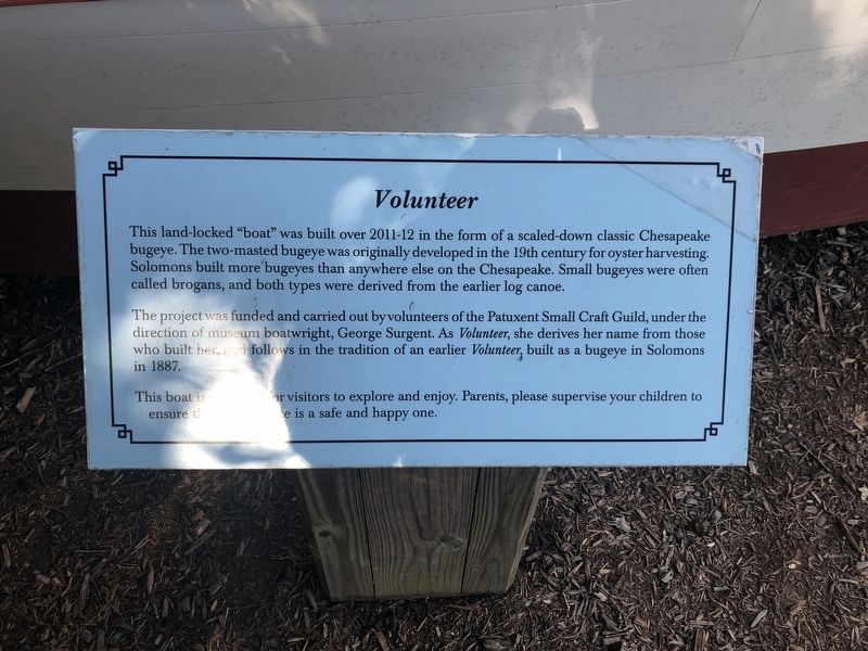
This land-locked "boat" was built over 2011-12 in the form of a scaled-down classic Chesapeake bugeye. The two-masted bugeye was originally developed in the 19th century for oyster harvesting. Solomons built more bugeyes than anywhere else on the Chesapeake. Small bugeyes were often called brogans, and both types were derived from the earlier log canoe.
The project was funded and carried out by volunteers of the Patuxent Small Craft Guild, under the direction of museum boatwright, George Surgent. As Volunteer, she derives her name from those who built her and follows in the tradition of an earlier Volunteer, built as a bugeye in Solomons in 1887.
Topics. This historical marker is listed in this topic list: Waterways & Vessels. A significant historical year for this entry is 1887.
Location. 38° 19.872′ N, 76° 27.879′ W. Marker is in Solomons, Maryland, in Calvert County. Marker can be reached from Solomons Island Road South just south of Thomas Johnson Road, on the left when traveling south. Touch for map. Marker is at or near this postal address: 14200 Solomons Island Road South, Solomons MD 20688, United States of America. Touch for directions.
Other nearby markers. At least 8 other markers are within walking distance of this marker. Anchor (within shouting distance of this marker); Humphreys Rowing Skiff (within shouting distance of this marker); Marine Railway Gears (within
Additional keywords. Volunteer
Credits. This page was last revised on January 26, 2021. It was originally submitted on August 30, 2019, by Devry Becker Jones of Washington, District of Columbia. This page has been viewed 135 times since then and 15 times this year. Photos: 1, 2. submitted on August 30, 2019, by Devry Becker Jones of Washington, District of Columbia.

