Solomons in Calvert County, Maryland — The American Northeast (Mid-Atlantic)
Sewell Draketail Workboat
36' × 7'6" × 2'8"
| — | V Bottom | — |
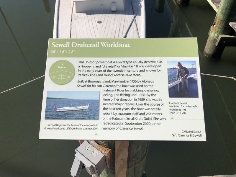
Built at Broomes Island, Maryland, in 1936 by Alpheus Sewell for his song Clarence, the boat was used on the Patuxent River for crabbing, oystering, eeling, and fishing until 1988. By the time of her donation in 1989, she was in need of major repairs. Over the course of the next ten years, the boat was totally rebuilt by museum staff and volunteers of the Patuxent Small Craft Guild. She was rededicated in September 2000 to the memory of Clarence Sewell.
Erected by Calvert Marine Museum.
Topics. This historical marker is listed in these topic lists: Animals • Industry & Commerce • Waterways & Vessels. A significant historical month for this entry is September 2000.
Location. 38° 19.88′ N, 76° 27.832′ W. Marker is in Solomons, Maryland, in Calvert County. It can be reached from Solomons Island Road South (Maryland Route 2) south of Thomas Johnson Road, on the left when traveling south. Touch for map.
this page online

Regionally, this marker is in Southern Maryland. It is also in the American South, specifically in the Upper South, in the Mid-Atlantic, in the Tidewater, in the Chesapeake Bay Region, and on the Eastern Seaboard. Globally, it is in the North Atlantic Region, North America, the Western Hemisphere, the Western World, and the Anglosphere. Historically, it finds itself in what was once one of the original Thirteen Colonies and also the Antebellum South.
Other nearby markers. At least 8 other markers are within walking distance of this marker: Oyster Skiff (here, next to this marker); Potomac River Dory Boat Let's See (here, next to this marker); Leatherbury Sailing Bateau (here, next to this marker); Benning Crab Skiff (a few steps from this marker); Island Creek 18 (a few steps from this marker); Jolly Boat (a few steps from this marker); Ped-L-Craft (a few steps from this marker); Colonial Dugout or Punt (Reproduction) (a few steps from this marker). Touch for a list and map of

Credits. This page was last revised on August 31, 2019. It was originally submitted on August 31, 2019, by Devry Becker Jones of Washington, District of Columbia. This page has been viewed 336 times since then and 38 times this year. Photos: 1, 2. submitted on August 31, 2019, by Devry Becker Jones of Washington, District of Columbia.
