St. Mary's City in St. Mary's County, Maryland — The American Northeast (Mid-Atlantic)
"…once the Metropolis"
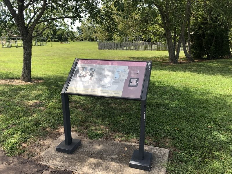
Taking Shape
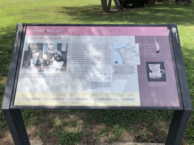
St. Mary's City was Maryland's capital from 1634 until 1695. Lord Baltimore wanted a typical European-style town with closely placed dwellings. During its early years, however, St. Mary's was a mere cluster of houses and taverns. The first legislature met in private homes including Governor Leonard Calvert's nearby house and the St. John's plantation owned by John Lewger, secretary of the colony.
History has left no map of the first capital of Maryland. Archaeology suggests that a formal plan guided the design of St. Mary's City in the late 1600s. Jerome White, the colony's surveyor, may have created the plan.
In this design, the main roads of St. Mary's City formed two triangles, with principal streets meeting in the town center. Two massive brick structures, the State House built in 1676 and the Catholic chapel built in 1667, rose at the far ends of town, and were equally distant from its center. Today you enter the town center on the same paths used by Maryland's 17th-century residents.
[Captions:]
The only surviving record of the City's bylaws proclaimed in 1685, "Notice being taken by this Court of the great debaucheries and disorders that are committed in this City on Sundays by severall psons, by drinking, gameing, sweareing..." The result was a ban on gaming and selling strong liquors on Sundays.
White clay pipes made in Europe were used in the 17th century in St. Mary's City. Such clay pipes are one of the most common artifacts found on colonial sites in Maryland.
The St. Mary's City plan used symmetrical triangles to focus attention on significant buildings. Two arms of the plan reached to the main entry points of the city—the river landing and the mill dam that provided passage over Mill Creek. The principal streets of the city followed this triangular plan.
Staffordshire-style slipware mug, of the type used in taverns in St. Mary's City in the late 17th century.
[Aside:]
"That they cause all the Planters to build their houses in as decent and uniform of manner as their abilities and the place will afford and neere adjoining one to an other, and for that purpose to cause streetes to be marked it where they intend to place the towne and to oblige every man to buyld one by an other..."
Lord Baltimore's instructions to the Colonists, 1633
[Timeline:]
1634
140 Colonists Arrive in Maryland
1640s
English Civil War
1645
Ingle's Revolt Nearly Destroys Colony
1650
Colony's Population Only About 100
1661
Calvert House Becomes First
1667
Catholic Brick Chapel Constructed at St. Mary's City
1668
St. Mary's City Incorporated
1676
Brick State House Built
1689
Protestant Rebellion in Maryland
1695
Capitol Moves to Annapolis
Erected by Historic St. Mary's City.
Topics. This historical marker is listed in these topic lists: Colonial Era • Settlements & Settlers. A significant historical year for this entry is 1634.
Location. 38° 11.04′ N, 76° 25.908′ W. Marker is in St. Mary's City, Maryland, in St. Mary's County. Marker can be reached from the intersection of Point Lookout Road (Maryland Route 5) and Old State House Road, on the right when traveling east. Touch for map. Marker is in this post office area: Saint Marys City MD 20686, United States of America. Touch for directions.
Other nearby markers. At least 8 other markers are within walking distance of this marker. Horse High, Pig Tight, and Bull Strong (within shouting distance of this marker); Early Signs of Industry (within shouting distance of this marker); Framing the Past (within shouting distance of this marker); Fear of War, People of Peace (about 300 feet away, measured in a direct line); A Time of Troubles (about 300 feet away); Witness to History (about 400 feet away); From Slavery to Freedom (about 400 feet away); "Dwell here, live plentifully, and be rich" (about 500 feet away). Touch for a list and map of all markers in St. Mary's City.
Credits. This page was last revised on June 7, 2021. It was originally submitted on September 1, 2019, by Devry Becker Jones of Washington, District of Columbia. This page has been viewed 158 times since then and 7 times this year. Photos: 1, 2. submitted on September 1, 2019, by Devry Becker Jones of Washington, District of Columbia.

