
The British Assume Control and Shelter Tories
Les Britanniques prennent le contrôle et abritent des conservateurs
| — | Fort Rosalie | — |
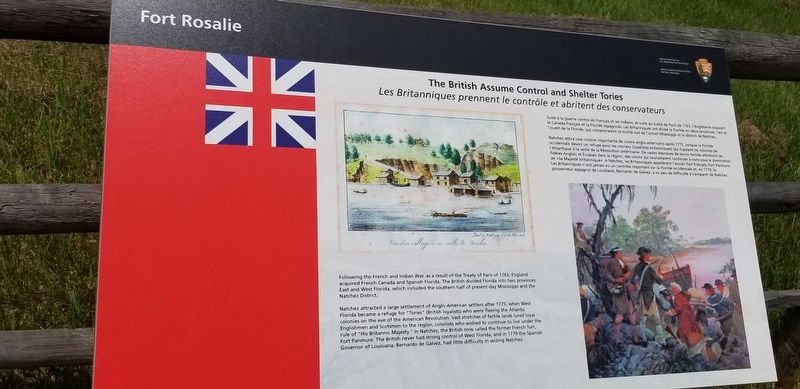
Following the French and Indian War, as a result of the Treaty of Paris of 1763, England acquired French Canada and Spanish Florida. The British divided Florida into two provinces, East and West Florida, which included the southern half of present-day Mississippi and the Natchez District.
Natchez attracted a large settlement of Anglo-American settlers after 1775, when West Florida became a refuge for "Tories" (British loyalists) who were fleeing the Atlantic colonies on the eve of the American Revolution. Vast stretches of fertile lands lured loyal Englishmen and Scotsmen to the region, colonists who wished to continue to live under the rule of "His Britannic Majesty." In Natchez, the British now called the former French fort, Fort Panmure. The British never had strong control of West Florida, and in 1779 the Spanish Governor of Louisiana, Bernardo de Galvez, had little difficulty in seizing Natchez.
French Text
Suite à la guerre contre les français et les Indiens, et suite au traité de Paris de 1763, l'Angleterre acquiert le Canada français et la Floride espagnole. Les Britanniques ont divisé Ia Floride en deux provinces,
this page online
Natchez attira une colonie importante de colons anglo-américains après 1775, lorsque la Floride occidentale devint un refuge pour les «tories» (loyalistes britanniques) qui fuyaient les colonies de l'Atlantique a la veille de la Révolution américaine. De vastes étendues de terres fertiles attirérent de fidèles Anglais et Écossais dans la région, des colons qui souhaitaient continuer à vivre sous la domination de «Sa Majeste britannique». A Natchez, les Britanniques appelèrent l'ancien fort français, Fort Panmure. Les Britanniques n'ont jamais eu un contrôle important sur Ia Floride occidentale et, en 1779, le gouverneur espagnol de Louisiane, Bernardo de Galvez, a eu peu de difficulté à s'emparer de Natchez.
Erected by National Park Service, U.S. Department of the Interior.
Topics. This historical marker is listed in these topic lists: Colonial Era • Forts and Castles.
Location. 31° 33.395′ N, 91° 24.606′ W. Marker is in Natchez, Mississippi, in Adams County. It
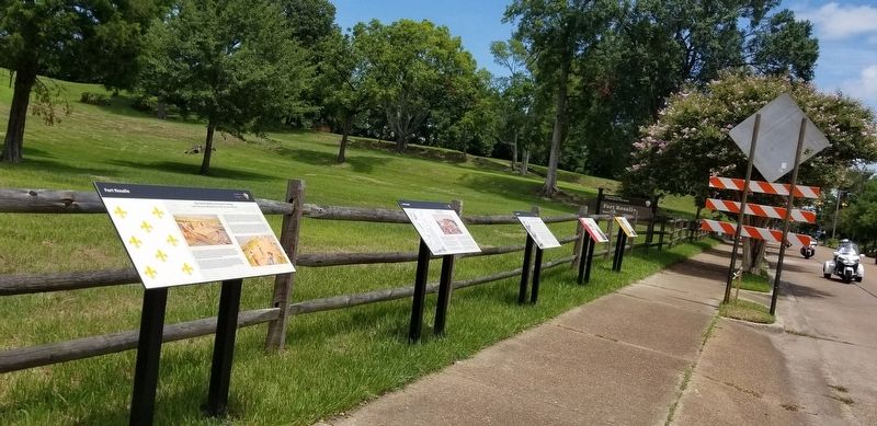

Regionally, this marker is in Southwest Mississippi and in Natchez Trace Corridor. It is also in the American South, specifically in the Deep South, and in the Great River Road Region. Globally, it is in North America, a Gulf of Mexico state, the Western Hemisphere, the Western World, and the Anglosphere. Historically, it finds itself in what was once New Spain, the Viceroyalty of New France, the territory of the Mississippian Culture, one of the Confederate States of America, and the Antebellum South.
Other nearby markers. At least 8 other markers are within walking distance of this marker: The Natchez Revolt (here, next to this marker); French Retaliation & the Second Fort Rosalie (here, next to this marker); The French Build a Fort and a Colony (here, next to this marker); The Spanish Lay Out a Permanent Town (here, next to this marker); The Natchez People (about 500 feet away, measured in a direct line); The Introduction of Slavery in the Natchez District (about 500 feet away); The French in North America (about 500 feet away); The European Struggle for Control (about 500 feet away). Touch for a list and map of all markers in Natchez.
Credits. This page was last revised on September 2, 2019. It was originally submitted on September 2, 2019, by Cajun Scrambler of Assumption, Louisiana. This page has been viewed 386 times since then and 53 times this year. Photos: 1, 2. submitted on September 2, 2019.
