Vienna in Lincoln Parish, Louisiana — The American South (West South Central)
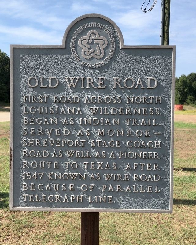
Old Wire Road
Erected 1976.
Topics and series. This historical marker is listed in this topic list: Roads & Vehicles. In addition, it is included in the The Spirit of ’76, America’s Bicentennial Celebration series list. A significant historical year for this entry is 1847.
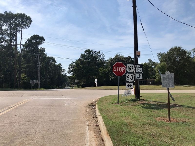
Location. 32° 35.488′ N, 92° 38.873′ W. Marker is in Vienna, Louisiana, in Lincoln Parish. Marker is at the intersection of U.S. 167 and State Route 3072, on the right when traveling north on U.S. 167. Touch for map. Marker is in this post office area: Ruston LA 71270, United States of America. Touch for directions.
Other nearby markers. At least 8 other markers are within 6 miles of this marker, measured as the crow flies. Vienna (about 400 feet away, measured in a direct line); Old Colvin Graveyard (approx. one mile away); Pine Hills Church (approx. one mile away); Louisiana Chautauqua (approx. 2.7 miles away); West Hill (approx. 4.2 miles away); First Presbyterian Church (approx. 4.3 miles away); V. S. & P. Railroad Depot (approx. 4.4 miles away); Siscro McCarty (approx. 5.3 miles away). Touch for a list and map of all markers in Vienna.
Regarding Old Wire Road. Vienna was once the Parish Seat of Jackson Parish. The failure of the railroad to run through Vienna was the death knell to the town and the Parish seat was transferred a few years later to nearby Ruston.
Credits. This page was last revised on May 31, 2022. It was originally submitted on September 2, 2019, by Mark Hilton of Montgomery, Alabama. This page has been viewed 1,064 times since then and 91 times this year. Photos: 1, 2. submitted on September 2, 2019, by Mark Hilton of Montgomery, Alabama.

