Highland in Shreveport in Caddo Parish, Louisiana — The American South (West South Central)
This Marks the Site of Battery 3
Photographed by Mark Hilton, August 31, 2019
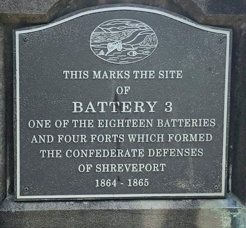
1. This Marks the Site of Battery 3 Marker
of
Battery 3
One of the eighteen batteries
and four forts which formed
the Confederate defenses
of Shreveport
1864 – 1865
Topics. This historical marker is listed in these topic lists: Forts and Castles • War, US Civil. A significant historical year for this entry is 1864.
Location. 32° 30.104′ N, 93° 43.776′ W. Marker is in Shreveport, Louisiana, in Caddo Parish. It is in Highland. It can be reached from Acacia Drive, on the right when traveling north. Located in the northeast part of Greenwood Cemetery, near plots 408 & 409. Touch for map. Marker is at or near this postal address: Acacia Drive, Shreveport LA 71101, United States of America. Touch for directions.

Regionally, this marker is in North Louisiana. It is also in the American South, specifically in the Deep South, and in the Piney Woods. Globally, it is in North America, a Gulf of Mexico state, the Western Hemisphere, the Western World, and the Anglosphere. Historically, it finds itself in what was once the territory of the Mississippian Culture, the Louisiana Purchase, one of the Confederate States of
this page online
Other nearby markers. At least 8 other markers are within walking distance of this marker: This Marks the Site of Battery 4 (about 700 feet away, measured in a direct line); Pete Youree Confederate Monument (about 700 feet away); Greenwood Cemetery (approx. 0.2 miles away); Fort Humbug (approx. 0.3 miles away); This Marks the Site of Battery 1 (approx. half a mile away); American Ex-Prisoners Of War (approx. half a mile away); Fort Turnbull (approx. half a mile away); This Marks the Site of Battery 5 (approx. 0.6 miles away). Touch for a list and map of all markers in Shreveport.
Regarding This Marks the Site of Battery 3. With the onset of the Civil War, Shreveport became a Confederate stronghold and headquarters of the Trans-Mississippi Department Army. Eighteen batteries across the city served as the defensive line against Union attack. This battery, along with nearby Battery 4, were joined by a covered road.
These Civil War Battery markers were dedicated in the 1930s when Shreveport marked its centennial and a final gathering of the United Confederate Veterans was held in the city.
Photographed by Mark Hilton, August 31, 2019
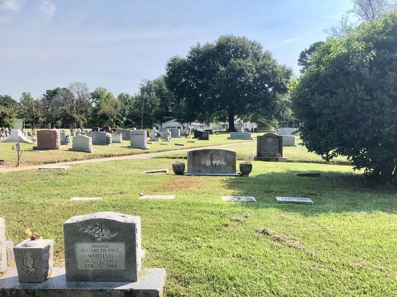
2. Battery 3 marker at northeastern edge of cemetery
Photographed by Mark Hilton, August 31, 2019
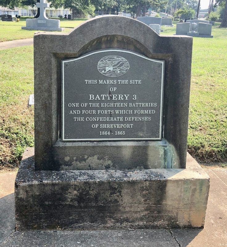
3. This Marks the Site of Battery 3 Marker
Credits. This page was last revised on February 12, 2023. It was originally submitted on September 3, 2019, by Mark Hilton of Montgomery, Alabama. This page has been viewed 555 times since then and 56 times this year. Photos: 1, 2, 3. submitted on September 3, 2019, by Mark Hilton of Montgomery, Alabama.
