Grand Pré in Kings County, Nova Scotia — The Atlantic Provinces (North America)
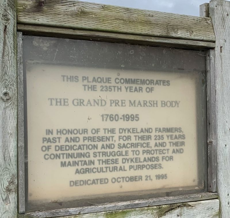
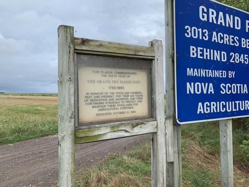
Grand Pre Marsh Body
1760-1995
Erected 1995.
Topics and series. This historical marker is listed in these topic lists: Agriculture • Man-Made Features. In addition, it is included in the Acadian History series list.
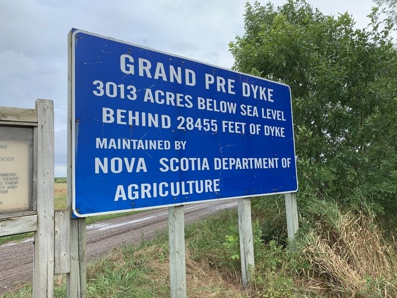
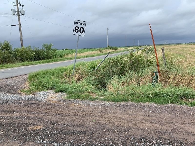
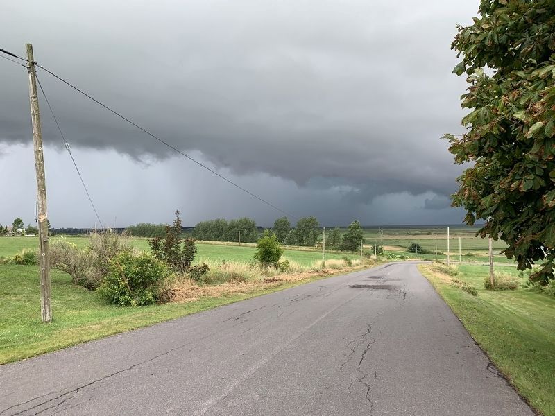
Location. 45° 6.657′ N, 64° 18.553′ W. Marker is in Grand Pré, Nova Scotia, in Kings County. Marker is at the intersection of Grand Pré Road and Miner Road, on the right when traveling north on Grand Pré Road. Sign is at entrance to the dykeland area on Grand Pré Road and all roads past the entrance are private roads. Touch for map. Marker is in this post office area: Grand Pré NS B0P 1M0, Canada. Touch for directions.
Other nearby markers. At least 8 other markers are within 3 kilometers of this marker, measured as the crow flies. The Expulsion of the Acadians (approx. 0.3 kilometers away); Memorial Church/L'église-souvenir (approx. 0.3 kilometers away); Statue of Evangeline (approx. 0.3 kilometers away); Grand-Pré Rural Historic District (approx. 0.3 kilometers away); The Attack at Grand Pré/La bataille Grand Pré (approx. 0.7 kilometers away); The Landscape of Grand Pré/Le Paysage de Grand-Pré (approx. 0.7 kilometers away); Landscape of Grand Pré/ le Payage de Grand Pré (approx. 1.9 kilometers away); Site de l'école Acacia Villa/Site of Acacia Villa School (approx. 1.9 kilometers away). Touch for a list and map of all markers in Grand Pré.
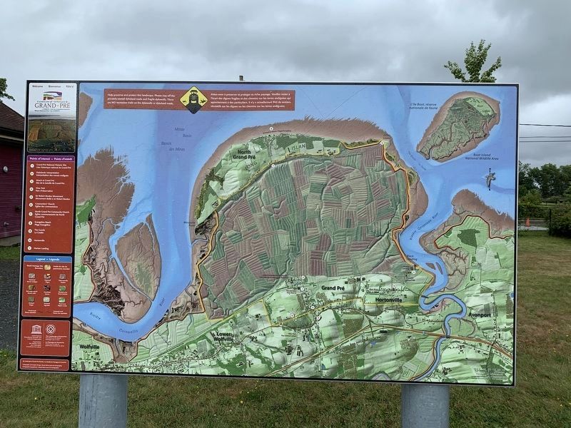
Regarding Grand Pre Marsh Body. The Acadians had begun the filing process one hundred years earlier. After the English expelled them, farmers from New England came in 1760 and continued the process gradually diking in all the land between coast and a nearby island to the north.
Credits. This page was last revised on September 4, 2019. It was originally submitted on September 3, 2019, by Steve Stoessel of Niskayuna, New York. This page has been viewed 146 times since then and 9 times this year. Photos: 1, 2, 3, 4, 5, 6. submitted on September 3, 2019, by Steve Stoessel of Niskayuna, New York. • Bill Pfingsten was the editor who published this page.
