Edwardsville in Madison County, Illinois — The American Midwest (Great Lakes)
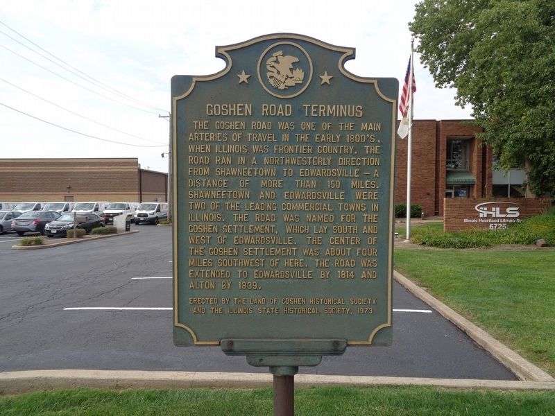
Goshen Road Terminus
Erected 1973 by Land of Goshen Historical Society and the Illinois State Historical Society.
Topics and series. This historical marker is listed in this topic list: Roads & Vehicles. In addition, it is included in the Illinois State Historical Society series list.
Location. 38° 46.887′ N, 89° 56.895′ W. Marker is in Edwardsville, Illinois, in Madison County. Marker is on Goshen Road, on the right when traveling west. Touch for map. Marker is at or near this postal address: 6725 Goshen Road, Edwardsville IL 62025, United States of America. Touch for directions.
Other nearby markers. At least 8 other markers are within 2 miles of this marker, measured as the crow flies. A-7E Corsair II (approx. 0.9 miles away); The Edwardsville Belt Railway (approx. 1.1 miles away); Bethel Meetinghouse (approx. 1.2 miles away); Mont Station (approx. 1.3 miles away); East St. Louis & Suburban Railway Electric Line Streetcar (approx. 1˝ miles away); LeClaire, Illinois (approx. 1.6 miles away); Madison Coal Corporation Coal Mine #4 (approx. 1.7 miles away); Benjamin Stephenson House (approx. 1.8 miles away). Touch for a list and map of all markers in Edwardsville.
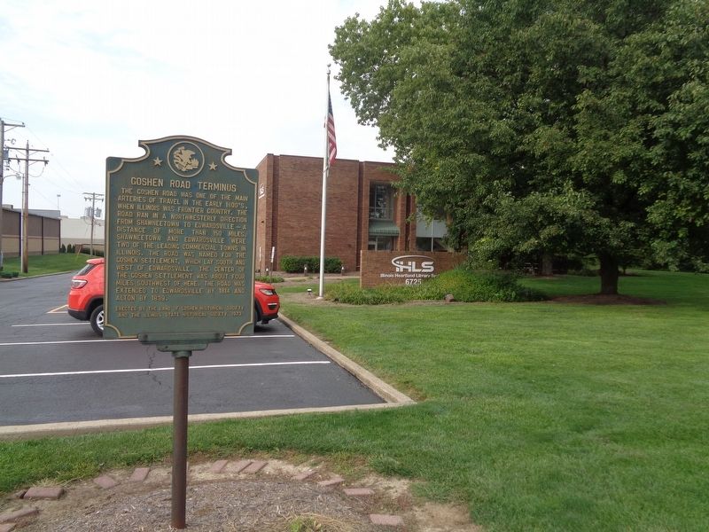
More about this marker. The marker is located in front of the Illinois Heartland Library System building. According to the Illinois State Historical Society's website, the marker was dedicated on 1/1/1973.
Credits. This page was last revised on September 5, 2019. It was originally submitted on September 3, 2019, by Jason Voigt of Glen Carbon, Illinois. This page has been viewed 387 times since then and 49 times this year. Photos: 1, 2. submitted on September 3, 2019, by Jason Voigt of Glen Carbon, Illinois. • Bill Pfingsten was the editor who published this page.

