St. Mary's City in St. Mary's County, Maryland — The American Northeast (Mid-Atlantic)
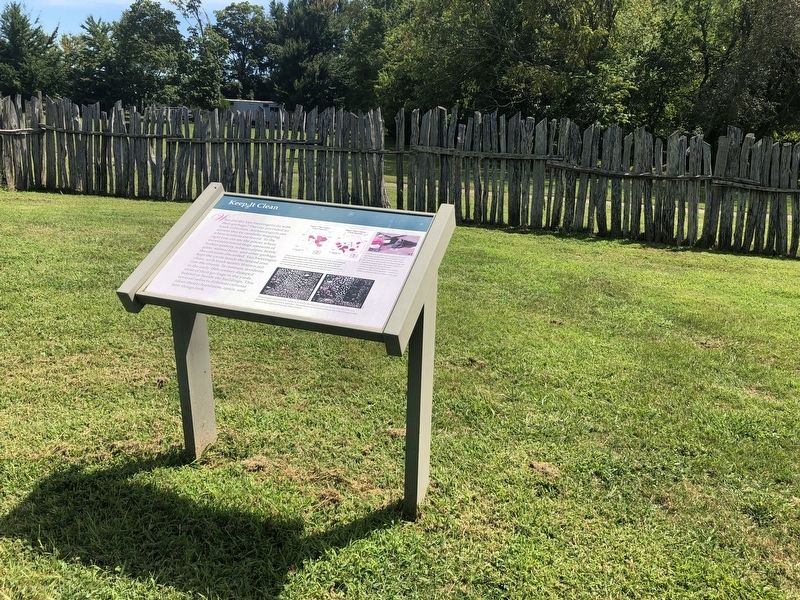
Keep It Clean
What did the Van Sweringens do with their garbage? The city provided no trash collection. Archaeologists can answer this by carefully mapping where artifacts are found. To the right you can see the places where excavators found large amounts of broken pottery, tobacco pipes, bottle glass, animal bone, and other garbage the colonists discarded. Van Sweringen kept the yards inside the fenced area clean, with trash mostly thrown out into the streets. In contrast, residents in the early 18th century dumped most of their garbage in the yards behind or beside the buildings. This reversal reflects different cultural ideas about cleanliness, space, and how things look.
[Caption:]
These maps show concentrations of dateable trash around the Van Sweringen site. The 17th-century trash deposits shown in the image to the left are primarily towards the street areas while the 18th century trash deposits shown in the image to the right are mainly in the back yard.
While a few pits were used to discard garbage at the site, most of the trash was simply thrown out the door into the street or the yards surrounding the Van Sweringen site. Despite centuries of plowing and disturbance, archaeological find these discarded objects in the same general locations where colonists threw them long ago.
These images represent the artifacts found in the top layer of soil in one five by five foot square in each of the trash deposits. The artifacts on the left are from the 17th century while those on the right are from the 18th century.
Erected by Historic St. Mary's City.
Topics. This historical marker is listed in these topic lists: Anthropology & Archaeology • Colonial Era • Settlements & Settlers.
Location. 38° 11.121′ N, 76° 26.03′ W. Marker is in St. Mary's City, Maryland, in St. Mary's County. Marker can be reached from Old State House Road west of Point Lookout Road (Maryland Route 5), on the left when traveling north. Touch for map. Marker is at or near this postal address: 47414 Old State House Road, Saint Marys City MD 20686, United States of America. Touch for directions.
Other nearby markers. At least 8 other markers are within walking distance of this marker. …about the Corner of Vansweeringens Garden fence (here, next to this marker); …Adjourn to the Arbour at Vansweringens (a few steps from this marker); Brewing and Baking (a few steps from this marker); ...and Coffee House (a few steps from this marker); A Place to Talk, Drink, & Smoke (a few steps from this marker); An Innovative Entrepreneur (within shouting distance of this marker); The Van Sweringen Family
Credits. This page was last revised on December 22, 2023. It was originally submitted on September 4, 2019, by Devry Becker Jones of Washington, District of Columbia. This page has been viewed 117 times since then and 17 times this year. Photos: 1, 2. submitted on September 4, 2019, by Devry Becker Jones of Washington, District of Columbia.

