St. Mary's City in St. Mary's County, Maryland — The American Northeast (Mid-Atlantic)
…about the Corner of Vansweeringens Garden fence

Photographed by Devry Becker Jones (CC0), April 11, 2026
1. …about the Corner of Vansweeringens Garden fence Marker
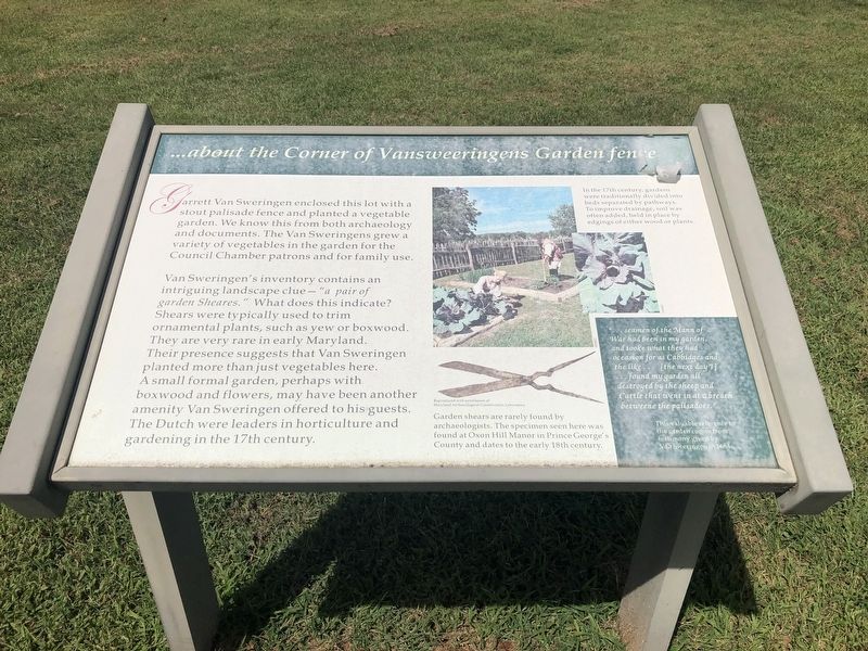
Garrett Van Sweringen enclosed this lot with a stout palisade fence and planted a vegetable garden. We know this from both archaeology and documents. The Van Sweringens grew a variety of vegetables in the garden for the Council Chamber patrons and for family use.
Van Sweringen's inventory contains an intriguing landscape clue — "a pair of garden Sheares." What does this indicate? Shears were typically used to trim ornamental plants, such as yew or boxwood. They are very rare in Maryland. Their presence suggests that Van Sweringen planted more than just vegetables here. A small formal garden, perhaps with boxwood and flowers, may have been another amenity Van Sweringen offered to his guests. The Dutch were leaders in horticulture and gardening in the 17th century.
[Captions:]
In the 17th century, gardens were traditionally divided into beds separated by pathways. To improve drainage, soil was often added, held in place by edgings of either wood or plans.
Garden shears are rarely found by archaeologists. The specimen seen here was found at Oxon Hill Manor in Prince George's County and dates to the early 18th century.
"… seamen of the Mann of War had been in my garden and tooke what they had occasion for as Cabbidges and the like… [the next day I] … found my garden all destroyed by the sheep and Cattle that went in and at a breach betweene the palisadoes."
This valuable reference to the garden comes from the testimony given by Van Sweringen in 1684.
Erected by Historic
this page online
Topics. This historical marker is listed in these topic lists: Colonial Era • Horticulture & Forestry. A significant historical year for this entry is 1684.
Location. 38° 11.121′ N, 76° 26.028′ W. Marker is in St. Mary's City, Maryland, in St. Mary's County. It can be reached from Old State House Road west of Point Lookout Road (Maryland Route 5), on the left when traveling north. Touch for map. Marker is at or near this postal address: 47414 Old State House Road, Saint Marys City MD 20686, United States of America. Touch for directions.

Regionally, this marker is in Southern Maryland. It is also in the American South, specifically in the Upper South, in the Mid-Atlantic, in the Tidewater, in the Chesapeake Bay Region, and on the Eastern Seaboard. Globally, it is in the North Atlantic Region, North America, the Western Hemisphere, the Western World, and the Anglosphere. Historically, it finds itself in what was once one of the original Thirteen Colonies and also the Antebellum South.
Other nearby markers. At least 8 other markers are within walking distance of this marker: Keep It Clean (here, next
Photographed by Devry Becker Jones (CC0), August 30, 2019
2. …about the Corner of Vansweeringens Garden fence Marker
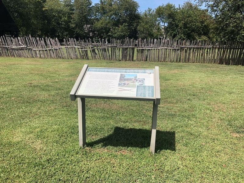
This is a previous iteration of the marker.

Photographed by Devry Becker Jones (CC0), April 11, 2026
3. …about the Corner of Vansweeringens Garden fence Marker
Photographed by Devry Becker Jones (CC0), August 30, 2019
4. …about the Corner of Vansweeringens Garden fence Marker
Credits. This page was last revised on April 16, 2026. It was originally submitted on September 4, 2019, by Devry Becker Jones of Washington, District of Columbia. This page has been viewed 382 times since then and 21 times this year. Photos: 1. submitted on April 16, 2026, by Devry Becker Jones of Washington, District of Columbia. 2. submitted on September 4, 2019, by Devry Becker Jones of Washington, District of Columbia. 3. submitted on April 16, 2026, by Devry Becker Jones of Washington, District of Columbia. 4. submitted on September 4, 2019, by Devry Becker Jones of Washington, District of Columbia.
