Acambay, Mexico State, Mexico — The Central Highlands (North America)
Parish Church of San Miguel Arcángel
Photographed by J. Makali Bruton, September 1, 2019
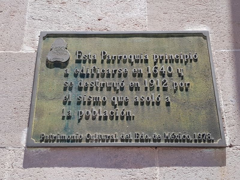
1. Parish Church of San Miguel Arcángel Marker

Patrimonio Cultural del Edo. de México, 1978.
This Parish began to be built in 1640 and was destroyed in 1912 by the earthquake that struck the population.
Cultural Heritage of the State of Mexico, 1978.
Erected 1978 by Patrimonio Cultural del Estado de México.
Topics. This historical marker is listed in these topic lists: Colonial Era • Disasters • Religion & Religious Structures. A significant historical year for this entry is 1640.
Location. 19° 57.36′ N, 99° 50.564′ W. Marker is in Acambay, Estado de Mexico (Mexico State). It is on Dr. Ruiz Castañeda just west of Francisco Sarabia, on the right when traveling west. Touch for map. Marker is in this post office area: Acambay MEX 50300, Mexico. Touch for directions.

Regionally, this marker is in Central Mexico and specifically in Mexico City Metropolitan Area. Globally, it is in North America, specifically in Mesoamerica, on the Ring of Fire, and in the Western Hemisphere. Historically, it finds itself in what
this page online
Other nearby markers. At least 8 other markers are within walking distance of this marker: Parish and Ex Convent of San Miguel Arcángel (within shouting distance of this marker); Foundation of the "Acambayense League" (within shouting distance of this marker); The 1921 Acambay Earthquake (within shouting distance of this marker); Maximiliano Ruiz Castañeda (within shouting distance of this marker); History of Acambay (about 90 meters away, measured in a direct line); Execution of Lindoro Cajiga (about 90 meters away); Mexican Independence, Revolution and Acambay Earthquake (about 120 meters away); Otomíes of Acambay (about 180 meters away). Touch for a list and map of all markers in Acambay.
Photographed by J. Makali Bruton, September 1, 2019
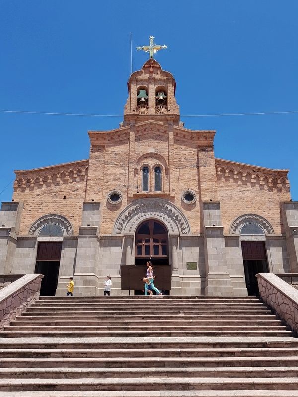
2. Parish Church of San Miguel Arcángel and Marker
Photographed by J. Makali Bruton, September 1, 2019
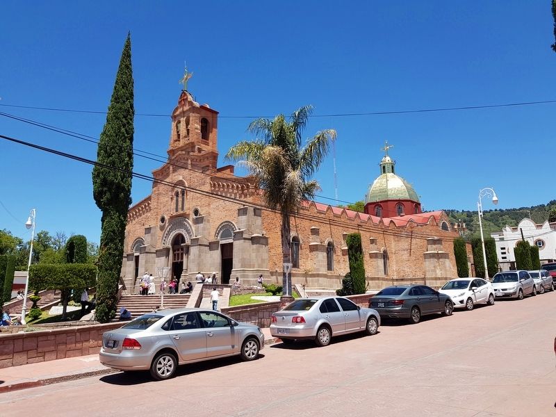
3. Parish Church of San Miguel Arcángel of Acambay
Photographed by J. Makali Bruton, September 1, 2019
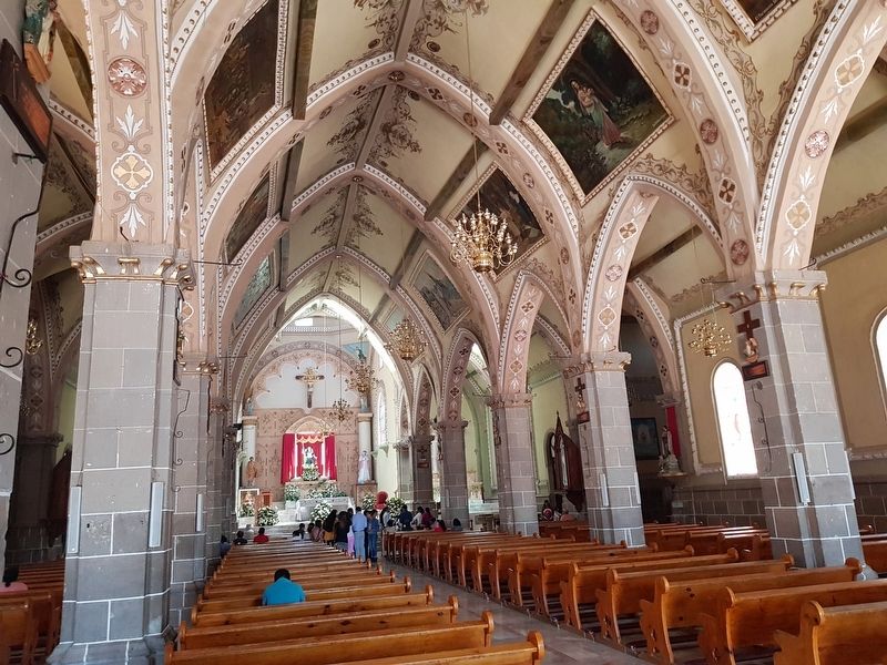
4. An interior view of the Parish Church of San Miguel Arcángel
Credits. This page was last revised on January 4, 2023. It was originally submitted on September 4, 2019, by J. Makali Bruton of Washington, District of Columbia. This page has been viewed 234 times since then and 14 times this year. Photos: 1, 2, 3, 4. submitted on September 4, 2019, by J. Makali Bruton of Washington, District of Columbia.
