Tionesta in Forest County, Pennsylvania — The American Northeast (Mid-Atlantic)
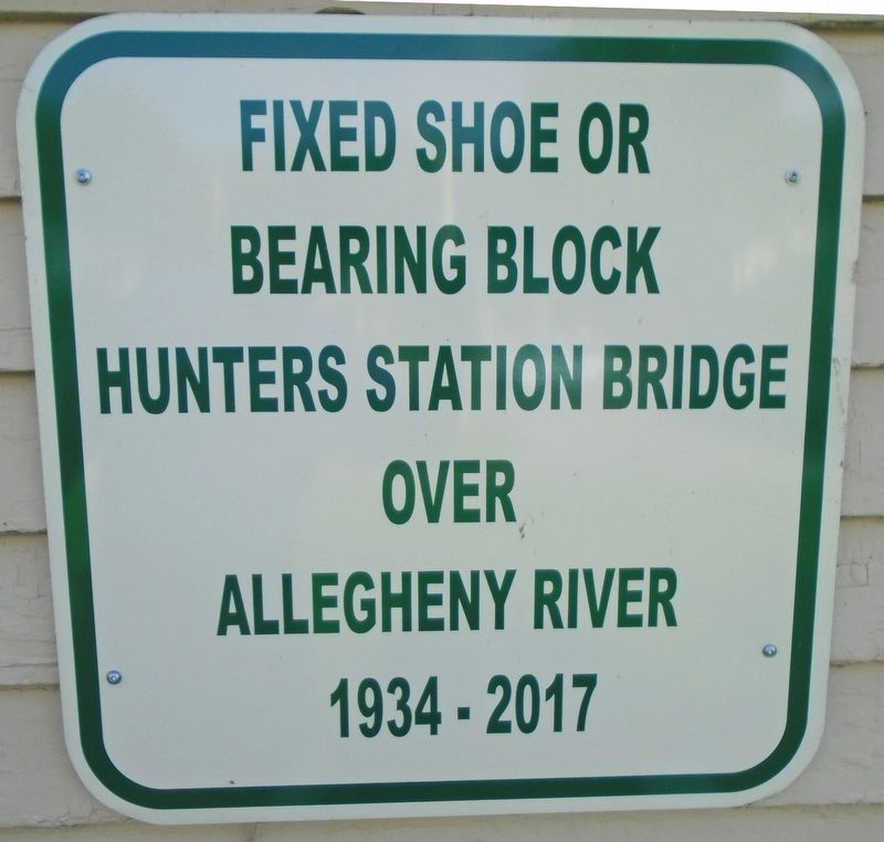
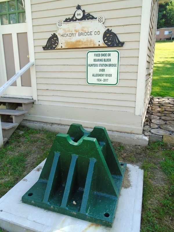
Hunters Station Bridge Bearing Block
Inscription.
Bearing Block
Hunters Station Bridge
over
Allegheny River
1934 - 2017
Erected by Forest County Historical Society.
Topics. This historical marker is listed in these topic lists: Bridges & Viaducts • Man-Made Features. A significant historical year for this entry is 1934.
Location. 41° 29.524′ N, 79° 27.356′ W. Marker is in Tionesta, Pennsylvania, in Forest County. Marker is on Elm Street (Pennsylvania Route 36) 0.1 miles south of Walnut Street, on the left when traveling south. Marker and block are on the Forest County Historical Society grounds. Touch for map. Marker is at or near this postal address: 206 Elm Street, Tionesta PA 16353, United States of America. Touch for directions.
Other nearby markers. At least 8 other markers are within 2 miles of this marker, measured as the crow flies. When Timber Was King (within shouting distance of this marker); Tionesta (within shouting distance of this marker); Lieutenant John Range (approx. 0.3 miles away); Forest County (approx. 0.3 miles away); a different marker also named Forest County (approx. 0.3 miles away); Damascus (approx. 1.1 miles away); Refugee Towns (approx. 1.3 miles away); Howard Zahniser (approx. 2 miles away). Touch for a list and map of all markers in Tionesta.
Also see . . .
1. Hunter Station Bridge at Historic Bridges. (Submitted on September 4, 2019, by William Fischer, Jr. of Scranton, Pennsylvania.)
2. Hunter's Station Bridge Implosion, October 4, 2017 (YouTube). (Submitted on September 4, 2019, by William Fischer, Jr. of Scranton, Pennsylvania.)
Credits. This page was last revised on September 5, 2019. It was originally submitted on September 4, 2019, by William Fischer, Jr. of Scranton, Pennsylvania. This page has been viewed 241 times since then and 23 times this year. Photos: 1, 2. submitted on September 4, 2019, by William Fischer, Jr. of Scranton, Pennsylvania.

