Great Mills in St. Mary's County, Maryland — The American Northeast (Mid-Atlantic)
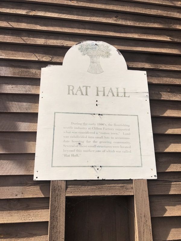
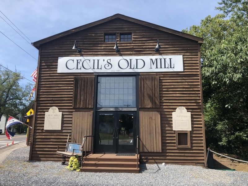
Rat Hall
Topics. This historical marker is listed in these topic lists: Agriculture • Industry & Commerce • Settlements & Settlers.
Location. 38° 14.425′ N, 76° 30.18′ W. Marker is in Great Mills, Maryland, in St. Mary's County. It is on Indian Bridge Road (Maryland Route 471) 0.3 miles north of Point Lookout Road ( Route 5). Touch for map. Marker is at or near this postal address: 20854 Indian Bridge Road, Great Mills MD 20634, United States of America. Touch for directions.

Regionally, this marker is in Southern Maryland. It is also in the American South, specifically in the Upper South, in the Mid-Atlantic, in the Tidewater, in the Chesapeake Bay Region, and on the Eastern Seaboard. Globally, it is in the North Atlantic Region, North America, the Western
this page online
Other nearby markers. At least 8 other markers are within 4 miles of this marker, measured as the crow flies: Clifton Factory (here, next to this marker); Cecil's Mill Historic District (a few steps from this marker); Cecil's Mill (a few steps from this marker); Cecil's Saw Mill (within shouting distance of this marker); Cecil's General Store (within shouting distance of this marker); Private William H. Barnes (approx. 3.2 miles away); United States Colored Troops (USCT) (approx. 3.2 miles away); Sergeant James H. Harris (approx. 3.2 miles away). Touch for a list and map of all markers in Great Mills.
Credits. This page was last revised on September 4, 2019. It was originally submitted on September 4, 2019, by Devry Becker Jones of Washington, District of Columbia. This page has been viewed 353 times since then and 11 times this year. Photos: 1, 2. submitted on September 4, 2019, by Devry Becker Jones of Washington, District of Columbia.
