Victoria in Victoria County, Texas — The American South (West South Central)
Tonkawa Bank
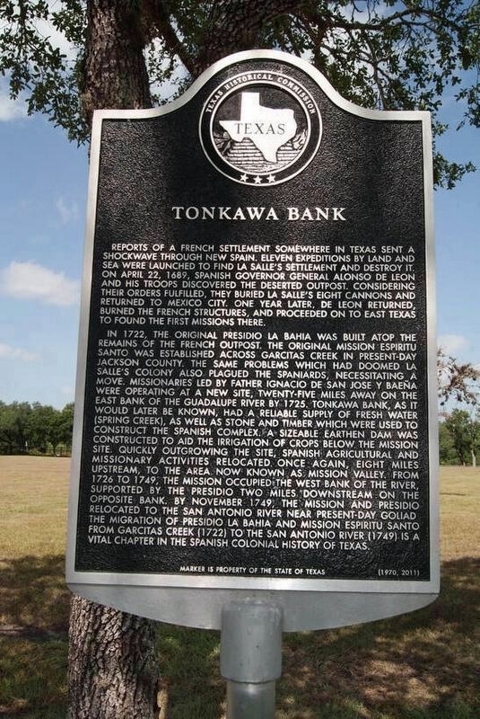
Reports of a French settlement somewhere in Texas sent a shockwave through New Spain. Eleven expeditions by land and sea were launched to find La Salle's settlement and destroy it. On April 22, 1689, Spanish governor General Alonso de Leon and his troops discovered the deserted outpost. Considering their orders fulfilled, they buried La Salle's eight cannons and returned to Mexico City. One year later, De Leon returned, burned the French structures, and proceeded on to East Texas to found the first missions there.
In 1722, the original Presidio La Bahia was built atop the remains of the French outpost. The original Missiona Espiritu Santo, was established across Garcitas Creek in present-day Jackson County. The same problems which doomed La Salle's colony, also plagued the Spaniards, necessitating a move. Missionaries led by Father Ignacio de San Jose y Baena were operating at a new site, twenty-five miles away on the east bank of the Guadalupe River. By 1725, Tonkawa Bank, as it would later be known, had a reliable supply of fresh water (Spring Creek), as well as stone and timber which were used to construct the Spanish complex. A sizable earthen dam was constructed to aid the irrigation of crops below the mission site. Quickly outgrowing the site, Spanish agricultural and missionary activities relocated, once again, eight miles upstream, to the area now known as Mission Valley. From 1726 to 1749, the mission occupied the west bank of the river, supported by the Presido two miles downstream on the opposite bank. By November 1749, the mission and Presidio relocated to the San Antonio River near present-day Goliad. The migration of Presidio La Bahia and Mission Espiritu Santo from Garcitas Creek (1722) to the San Antonio River (1749) is a vital chapter in the Spanish colonial history of Texas.
Erected 2011 by Texas Historical Commission. (Marker Number 6572.)
Topics. This historical marker is listed in these topic lists: Churches & Religion • Colonial Era • Settlements & Settlers • Waterways & Vessels. A significant historical date for this entry is April 22, 1689.
Location. 28° 49.446′ N, 97° 0.782′ W. Marker is in Victoria, Texas, in Victoria County. Marker is on McCright Drive, 0.2 miles west of North Vine Street, on the left when traveling west. Marker is in field west of the Victoria Parks and Recreation Department building. Touch for map. Marker is at or near this postal address: 476 McCright Drive, Victoria TX 77901, United States of America. Touch for directions.
Other nearby markers. At least 8 other markers are within walking distance of this marker. A different marker also named Tonkawa Bank (here, next to this marker); Presidio La Bahia and Mission Espíritu Santo (a few steps from this marker); Old La Bahia Road

Photographed By Richard Denney
2. Tonkawa Bank Marker
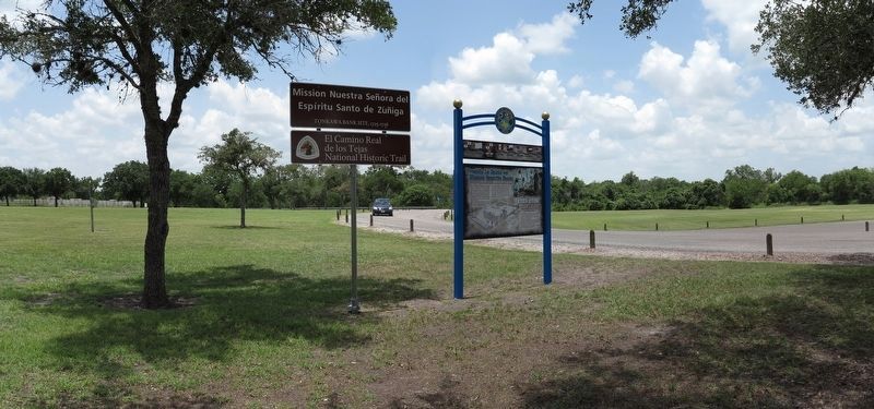
Site where marker is located is part of the El Camino Real de los Tejas National Historic Trail, Mission Nuestra Senora del Espiritu Santo de Zuniga
Tonkawa Bank Site, 1725-1726. Marker is visible in background behind and to left of signs erected by El Camino Real de los Tejas National Historic Trail Association
Credits. This page was last revised on August 28, 2020. It was originally submitted on September 8, 2019, by Richard Denney of Austin, Texas. This page has been viewed 229 times since then and 21 times this year. Photos: 1. submitted on September 7, 2019, by Richard Denney of Austin, Texas. 2. submitted on July 5, 2014, by Richard Denney of Austin, Texas. • Bernard Fisher was the editor who published this page.
