
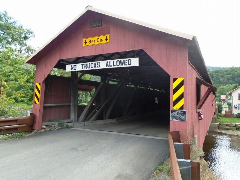
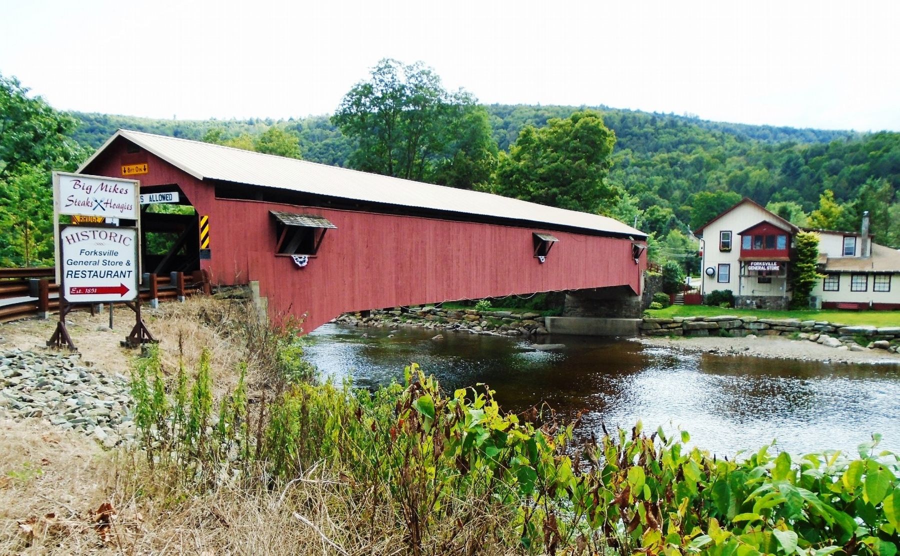
Forksville Covered Bridge


This Burr Truss covered bridge was built by Sadler S. Rogers (1831-1913) of Hillsgrove in the 1850's. In 1890 there were a total of 30 covered bridges in Sullivan County, Pa. By 1954 only five remained. Today there are three: Forksville, Hillsgrove and Sonestown, all built by Mr. Rogers.
Topics and series. This historical marker is listed in these topic lists: Bridges & Viaducts • Man-Made Features. In addition, it is included in the Covered Bridges series list. A significant historical year for this entry is 1890.
Location. 41° 29.314′ N, 76° 35.984′ W. Marker is in Forksville, Pennsylvania, in Sullivan County. It is at the intersection of Bridge Street and Pennsylvania Route 154, on the right when traveling west on Bridge Street. Touch for map. Marker is in this post office area: Forksville PA 18616, United States of America. Touch for directions.
Regionally, this marker is in the Pennsylvania Wilds. It is also in the American Northeast, in the Mid-Atlantic, in Appalachia, and specifically in Northern Appalachia. Globally, it is in North America, the Western Hemisphere, the Western World, and the
this page online
Other nearby markers. At least 8 other markers are within 6 miles of this marker, measured as the crow flies: Harold "Red" Grange (approx. 0.2 miles away); Old Woolen Factory (approx. ¼ mile away); 400 Acres: the Start of Forksville (approx. ¼ mile away); Hiram's Landing (approx. 5.3 miles away); The Chaseway... (approx. 5.3 miles away); Seth Thomas Clock (approx. 5.4 miles away); Eagles Mere Downtown Revitalization (approx. 5.4 miles away); Hotel Eagles Mere (approx. 5.4 miles away). Touch for a list and map of all markers in Forksville.
Also see . . . Forksville Covered Bridge. (Submitted on September 8, 2019, by William Fischer, Jr. of Reynoldsburg, Ohio.)
Credits. This page was last revised on September 8, 2019. It was originally submitted on September 8, 2019, by William Fischer, Jr. of Reynoldsburg, Ohio. This page has been viewed 601 times since then and 54 times this year. Photos: 1, 2, 3, 4. submitted on September 8, 2019, by William Fischer, Jr. of Reynoldsburg, Ohio.
