Barnegat in Barnegat Township in Ocean County, New Jersey — The American Northeast (Mid-Atlantic)
One in a Mill-ion
Cedar Bridge Tavern
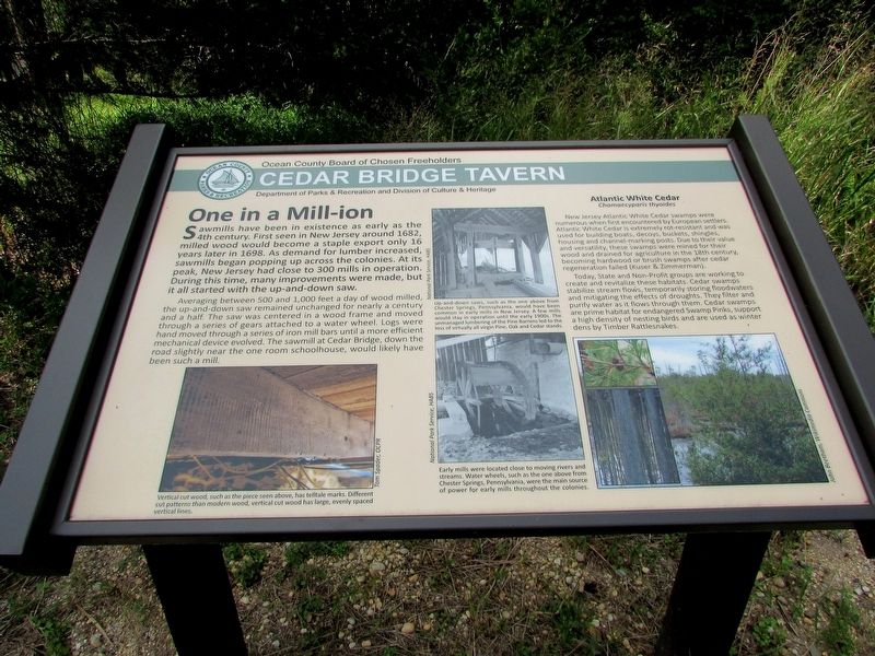
Sawmills have been in existence as early as the 4th century. First seen in New Jersey around 1682, milled wood would become a staple export only 16 years later in 1698. As demand for lumber increased, sawmills began popping up across the colonies. At its peak, New Jersey had close to 300 mills in operation. During this time, many improvements were made, but it all started with the up-and-down saw.
Averaging between 500 and 1,000 feet a day of wood milled, the up-and-down saw remained unchanged for nearly a century and a half. The saw was centered in a wood frame and moved through a series of gears attached to a water wheel. Logs were hand moved through a series of iron mill bars until a more efficient mechanical device evolved. The sawmill at Cedar Bridge, down the road slightly near the one room schoolhouse, would likely have been such a mill.
Atlanic White Cedar
Chamaecyparis thyoides
New Jersey Atlantic White Cedar swamps were numerous when first encountered by European settlers. Atlantic White Cedar is extremely rot-resistant and was used for building boats, decoys, buckets, shingles, housing and channel-marking posts. Due to their value and versatility, these swamps were mined for their wood and drained for agriculture in the 18th century, becoming hardwood or brush swamps after cedar regeneration failed (Kuser & Zimmerman).
Today, State and Non-Profit groups are working to create and revitalize these habitats. Cedar swamps stabilize stream flows, temporarily storing floodwaters and mitigating the effects of droughts. They filter and purify water as it flows through them. Cedar swamps are prime habitat for endangered Swamp Pinks, support a high density of nesting birds and are used as winter dens by Timber Rattlesnakes.
Erected by Ocean County.
Topics. This historical marker is listed in these topic lists: Colonial Era • Industry & Commerce • Settlements & Settlers.
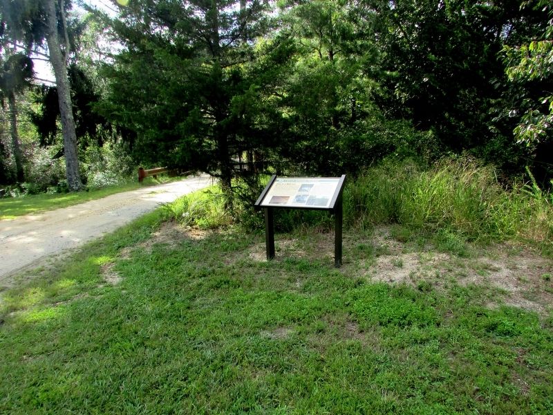
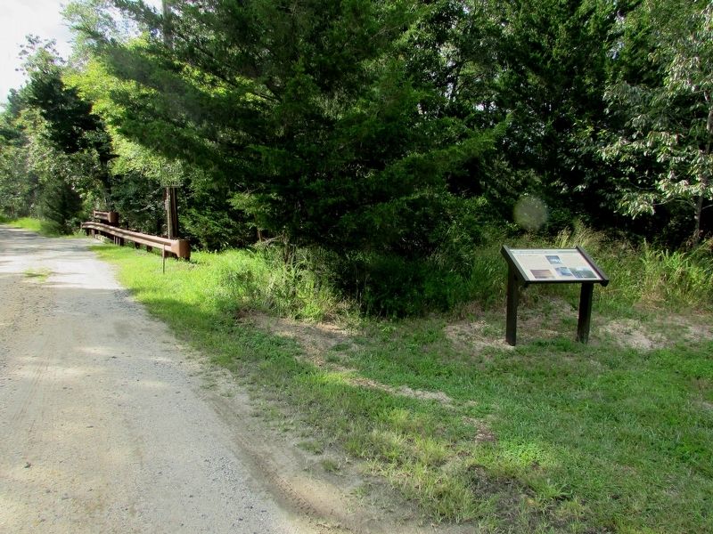
Location. 39° 47.014′ N, 74° 21.648′ W. Marker is in Barnegat Township, New Jersey, in Ocean County. It is in Barnegat. Marker is on Old Cedar Bridge Road, on the right when traveling west. Touch for map. Marker is at or near this postal address: 200 Old Halfway Rd, Barnegat NJ 08005, United States of America. Touch for directions.
Other nearby markers. At least 8 other markers are within walking distance of this marker. Last Stand of the Revolution (within shouting distance of this marker); Fire: Nature’s Double Agent (within shouting distance of this marker); A Haven in the Heat (within shouting distance of this marker); Land Between the Lines (within shouting distance of this marker); Historical Horticulture (within shouting distance of this marker); Welcome to West Jersey (approx. 0.7 miles away); Welcome to East Jersey (approx. 0.7 miles away); Affair at Cedar Bridge (approx. ¾ mile away). Touch for a list and map of all markers in Barnegat Township.
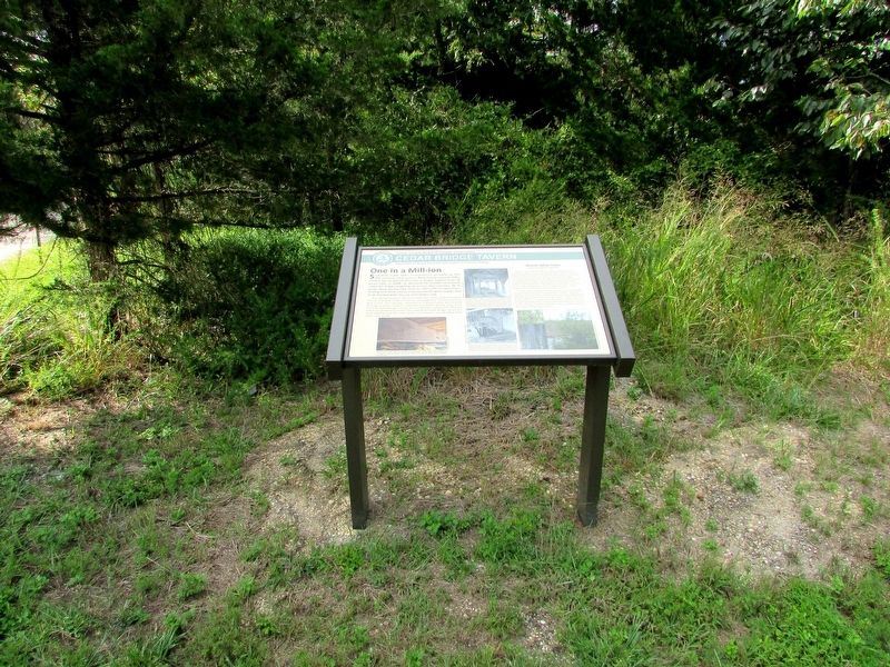
More about this marker. Several photographs appear on the marker. They have captions of “Vertical cut wood, such as the piece seen above, has telltale marks. Different cut patterns than modern wood, vertical cut wood has large, evenly spaced vertical lines.”; “Up and down saws, such as the one above from Chester Springs, Pennsylvania, would have been common in early mills in New Jersey. A few mills would stay in operation until the early 1900s. The unmanaged lumbering of the Pine Barrens led to the loss of virtually all virgin Pine, Oak and Cedar stands.”; and “Early mills were located close to moving rivers and streams. Water wheels, such as the one above from Chester Springs, Pennsylvania, were the main source of power for early mills throughout the colonies.”
Credits. This page was last revised on February 7, 2023. It was originally submitted on September 8, 2019, by Bill Coughlin of Woodland Park, New Jersey. This page has been viewed 126 times since then and 11 times this year. Photos: 1, 2, 3, 4. submitted on September 8, 2019, by Bill Coughlin of Woodland Park, New Jersey.


