
Wells in Delta County, Michigan — The American Midwest (Great Lakes)
Waterpowered Sawmills
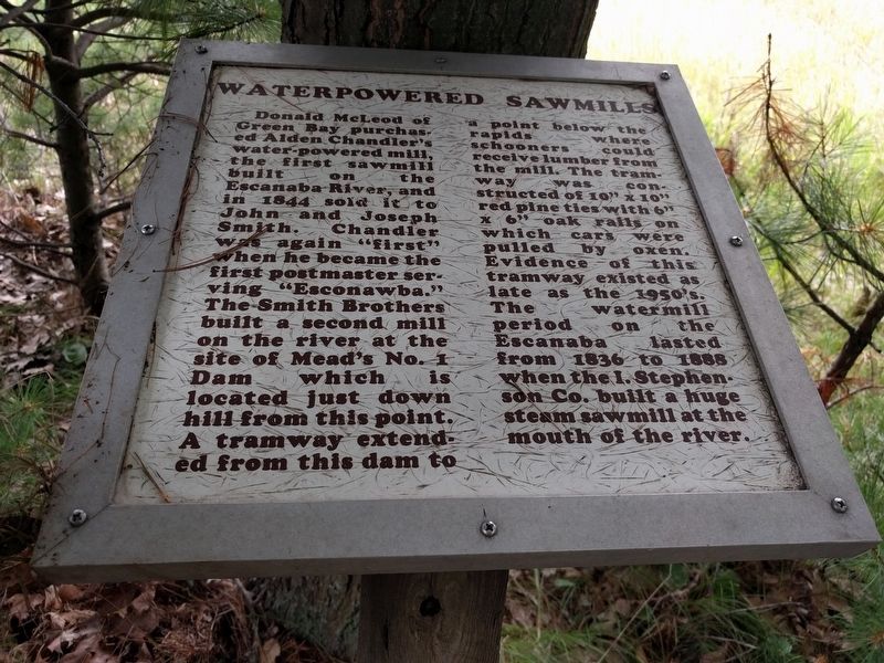
Photographed by Joel Seewald, August 18, 2019
1. Waterpowered Sawmills Marker
Topics. This historical marker is listed in these topic lists: Industry & Commerce • Waterways & Vessels. A significant historical year for this entry is 1844.
Location. 45° 47.841′ N, 87° 4.6′ W. Marker is in Wells, Michigan, in Delta County. It can be reached from Mead Road north of US Highway 2/US Highway 41/Michigan Highway
this page online

Regionally, this marker is on Michigan’s Upper Peninsula. It is also in the American Midwest. Globally, it is in North America, in the Great North Woods, on the Great Lakes, in the Western Hemisphere, in the Western World, and in the Anglosphere. Historically, it finds itself in what was once the Northwest Territory.
Other nearby markers. At least 8 other markers are within 4 miles of this marker, measured as the crow flies: Isaac Stephenson (a few steps from this marker); Forest Management (a few steps from this marker); Escanaba River (within shouting distance of this marker); Lumberjacks (within shouting distance of this marker); River Drives (about 300 feet away, measured in a direct line); Bill Bonifas (about 500 feet away); First Public Schoolhouse in Escanaba (approx. 3.8 miles away); Ludington Hotel (approx. 3.8 miles away).
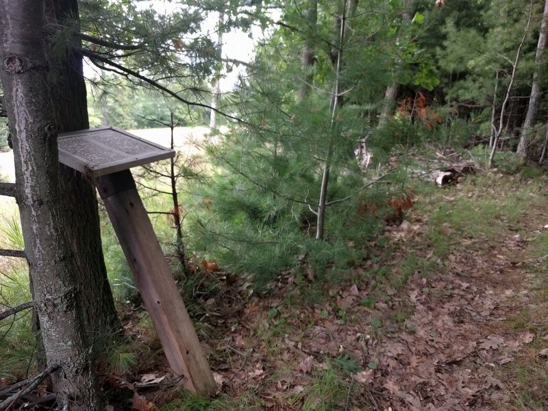
Photographed by Joel Seewald, August 18, 2019
2. Waterpowered Sawmills Marker
Credits. This page was last revised on December 7, 2020. It was originally submitted on September 8, 2019, by Joel Seewald of Madison Heights, Michigan. This page has been viewed 387 times since then and 50 times this year. Photos: 1, 2. submitted on September 8, 2019, by Joel Seewald of Madison Heights, Michigan.
