Near Had Nes in Golan Regional Council, Northern District, Israel — West Asia (the Levant in the Middle East)
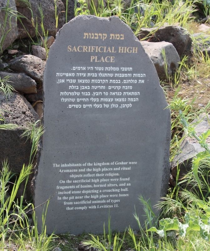
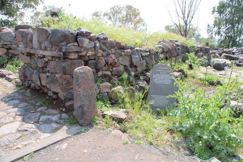
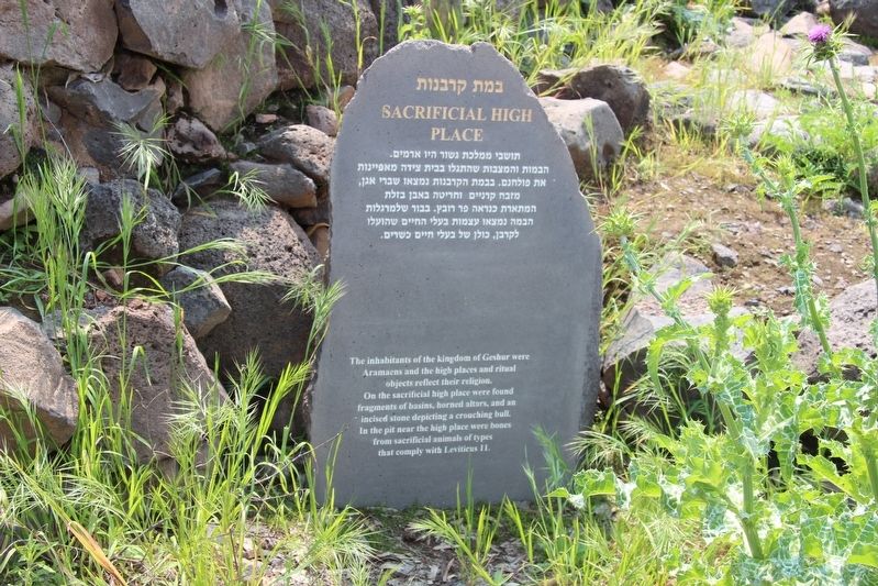
Sacrificial High Place
Tel Beit Tsaida
— Bethsaida —
English Text:
Aramaens and the high places and ritual
objects reflect their religion.
On the sacrificial high place were found
fragments of basins, horned altars, and an
incised stone depicting a crouching bull.
In the pit near the high place were bones
from sacrificial animals of types
that comply with Leviticus 11.
Topics. This historical marker is listed in these topic lists: Anthropology & Archaeology • Churches & Religion.
Location. 32° 54.599′ N, 35° 37.852′ E. Marker is near Had Nes, Northern District, in Golan Regional Council. Marker is on Route 888 just north of Northern District Route 87, on the left when traveling north. This marker is located along a park walking trail in the archaeological park at Tel Beit Tsaida, which has also been identified has the Biblical site of Bethsaida. Touch for map. Touch for directions.
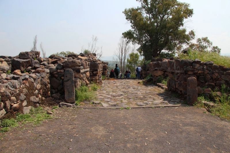
Other nearby markers. At least 8 other markers are within walking distance of this marker. Inner City Gate (here, next to this marker); The Courtyard (a few steps from this marker); Outer City Gate (within shouting distance of this marker); A Bit Hilani Type Palace (within shouting distance of this marker); The Fisherman House (about 90 meters away, measured in a direct line); The Winegrower House (about 120 meters away); Ancient Road (about 120 meters away); Street (about 120 meters away). Touch for a list and map of all markers in Had Nes.
More about this marker. This marker is situated in an archaeological park, that is located on the east side of the Jordan River, near the Jordan River armlet, a short distance away from the northern shore of the Sea of Galilee.
Also see . . .
1. Bethsaida. This is a link to information provided by BiblePlaces.com (Submitted on September 10, 2019, by Dale K. Benington of Toledo, Ohio.)
2. Bethsaida. This is a link to information provided by BibleWalks.com (Submitted on September 10, 2019, by Dale K. Benington of Toledo, Ohio.)
Credits. This page was last revised on December 28, 2023. It was originally submitted on September 10, 2019, by Dale K. Benington of Toledo, Ohio. This page has been viewed 106 times since then and 8 times this year. Photos: 1, 2, 3, 4. submitted on September 10, 2019, by Dale K. Benington of Toledo, Ohio.


