Near Cassville in Bartow County, Georgia — The American South (South Atlantic)
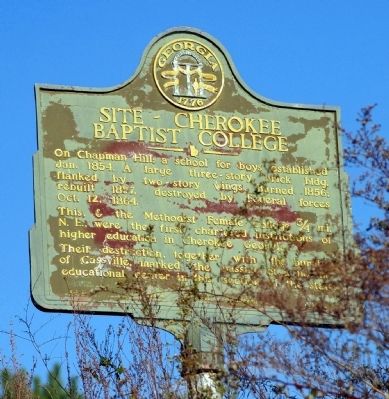
Site - Cherokee Baptist College
Photographed by David Seibert, November 9, 2008
1. Site - Cherokee Baptist College Marker
This, & the Methodist Female College 3/4 mi. N.E., were the first chartered institutions of higher education in Cherokee Georgia.
Their destruction, together with the burning of Cassville, marked the passing of a notable educational center in this section of the state.
Erected 1953 by Georgia Historical Commission. (Marker Number 008-22.)
Topics and series. This historical marker is listed in these topic lists: Education • War, US Civil. In addition, it is included in the Georgia Historical Society series list. A significant historical year for this entry is 1854.
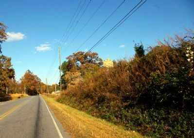
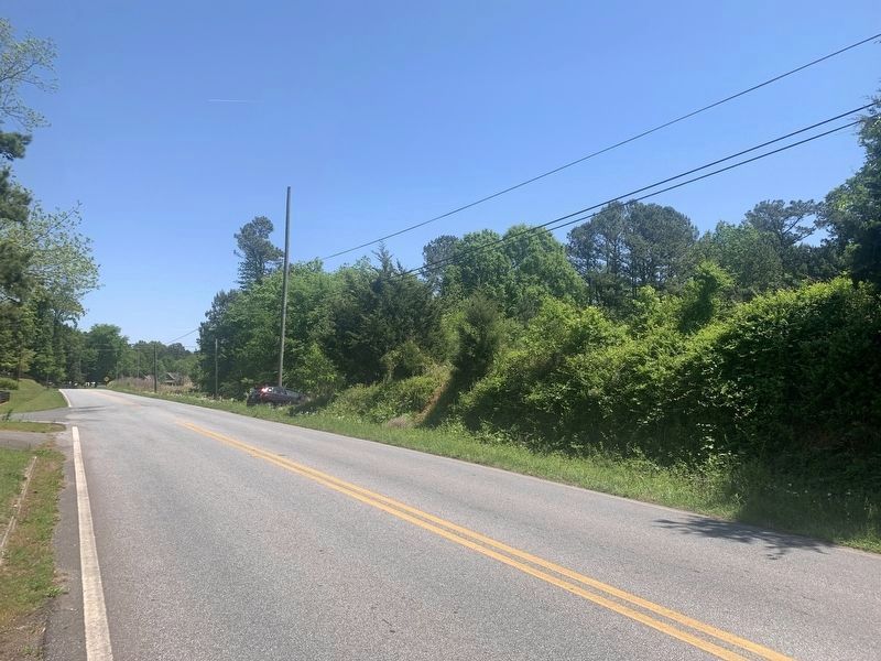
Location. Marker is missing. It was located near 34° 14.613′ N, 84° 51.824′ W. Marker was near Cassville, Georgia, in Bartow County. It was at the intersection of Fire Tower Road and Gaddis Road, on the right when traveling east on Fire Tower Road. Marker is on a high bank alongside the road and can be difficult to see from a car. Touch for map. Marker was in this post
this page online

Regionally, this marker was in the Mountains. It was also in the American South and specifically in the Deep South. Globally, it was in North America, the Western Hemisphere, the Western World, and the Anglosphere. Historically, it found itself in what was once the original Cherokee Nation, the territory of the Mississippian Culture, one of the original Thirteen Colonies, one of the Confederate States of America, and the Antebellum South.
Other nearby markers. At least 8 other markers are within walking distance of this location: Noble Hill Rosenwald School (approx. 0.4 miles away); Confederate Army of Tenn. at Cassville (approx. half a mile away); Site - Cassville Female College (approx. half a mile away); Site of Cassville (approx. ¾ mile away); Town Of Cassville (approx. ¾ mile away); Old Cassville Post Office (approx. ¾ mile away); Confederate Line (approx. 0.8 miles away); Atlanta Campaign (approx. 0.8 miles away). Touch for a list and map of all markers in Cassville.
Photographed by David Seibert, November 9, 2008
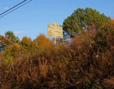
2. Site - Cherokee Baptist College Marker on Chapman Hill
Photographed by David Seibert, November 9, 2008
3. Site - Cherokee Baptist College Marker, high above Fire Tower Road
Photographed by Tim Fillmon, April 18, 2023
4. Site - Cherokee Baptist College Marker
Credits. This page was last revised on April 24, 2023. It was originally submitted on November 29, 2008, by David Seibert of Sandy Springs, Georgia. This page has been viewed 1,979 times since then and 41 times this year. Photos: 1, 2, 3. submitted on November 29, 2008, by David Seibert of Sandy Springs, Georgia. 4. submitted on April 24, 2023, by Tim Fillmon of Webster, Florida. • Craig Swain was the editor who published this page.
