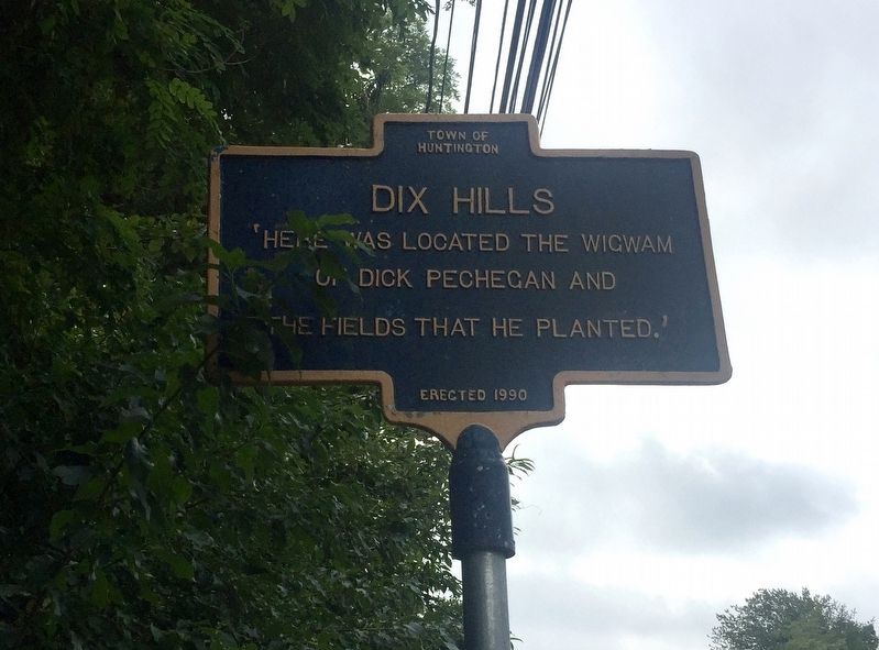
Dix Hills in Suffolk County, New York — The American Northeast (Mid-Atlantic)
Dix Hills
Erected 1990 by Town of Huntington.
Topics. This historical marker is listed in this topic list: Native Americans.
Location. 40° 49.216′ N, 73° 20.587′ W. Marker is in Dix Hills, New York, in Suffolk County. Marker is at the intersection of Deer Park Avenue and Foxmeadow Drive, on the right on Deer Park Avenue. Touch for map. Marker is in this post office area: Huntington Station NY 11746, United States of America. Touch for directions.
Other nearby markers. At least 8 other markers are within 3 miles of this marker, measured as the crow flies. Baldwin Carriage House (approx. 0.4 miles away); Long Island Motor Parkway (approx. 1.4 miles away); Oaks Cemetery (approx. 1.6 miles away); John Coltrane Home (approx. 1.7 miles away); Central Long Island (approx. 1.8 miles away); a different marker also named Central Long Island (approx. 1.9 miles away); Brindley Field (approx. 2.2 miles away); Applecroft (approx. 2.4 miles away). Touch for a list and map of all markers in Dix Hills.
Also see . . . Dix Hills, New York (Wikipedia). "Settlers traded goods with the indigenous Secatogue tribe for the land that became Dix Hills in 1699. The Secatogues lived in the northern portion of the region during the later half of that century. The land was known as Dick's Hills. By lore, the name traces to a local native named Dick Pechegan, likely of the Secatogues. Scholar William Wallace Tooker wrote that the addition of the English name "Dick" to the indigenous name "Pechegan" was a common practice. Tooker wrote that Pechegan's wigwam and his planted fields became the hilly area's namesake, known as the shortened "Dix Hills" by 1911...." (Submitted on September 11, 2019.)
Credits. This page was last revised on September 11, 2019. It was originally submitted on September 11, 2019, by Andrew Ruppenstein of Lamorinda, California. This page has been viewed 788 times since then and 209 times this year. Photos: 1, 2. submitted on September 11, 2019, by Andrew Ruppenstein of Lamorinda, California.

