Rocky Point in Queens County, Prince Edward Island — The Atlantic Provinces (North America)
Survey of Prince Edward Island / Arpentage de Ľîle-du-Prince-Édouard
Inscription.
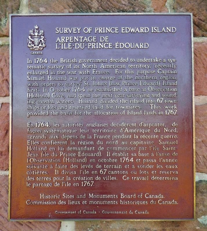
In 1764 the British government decided to undertake a systematic survey of its North American territory, recently enlarged in the war with France. For this purpose Captain Samuel Holland was put in charge of the northern region, with orders to survey St. John’s (now Prince Edward) Island first. In October 1764 he established a base at Observation (Holland) Cove and spent the next year surveying and sounding coastal waters. Holland divided the island into 67 townships or lots and reserved land for townsites. This work provided the basis for the allocation of Island lands in 1767.
En 1764, les autorités anglaises décidèrent d'arpenter, de façon systématique leur territoire d'Amérique du Nord, agrandi aux dépens de la France pendant la récente guerre. Elles confièrent la région du nord au capitaine Samuel Holland en lui demandant de commencer par l'île Saint-Jean (île-du-Prince-Édouard). Il établit sa base à l'anse de l’Observation (Holland) en octobre 1764 et passa l'année suivante à faire des levés de terrain et à sonder les eaux côtières. Il divisa l'île en 67 cantons ou lots et réserva des terres pour la création de villes. Ce travail détermina le partage de l'île en 1767.
Erected by Historic Sites and Monuments Board of Canada/Commission des lieux et monuments historiques du Canada.
Topics and series. This historical marker is listed in these topic lists: Colonial Era • Exploration. In addition, it is included in the Canada, Historic Sites and Monuments Board series list. A significant historical year for this entry is 1764.
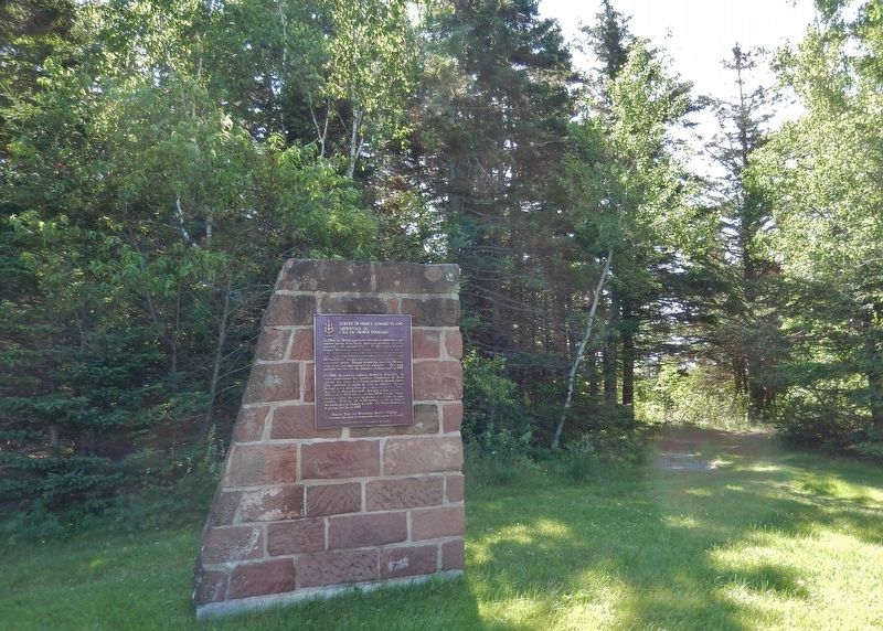
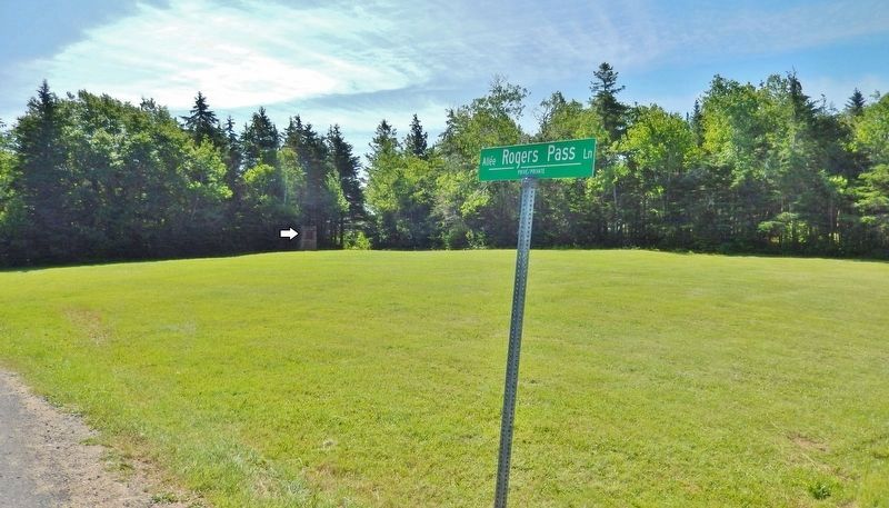
Location. 46° 11.156′ N, 63° 8.755′ W. Marker is in Rocky Point, Prince Edward Island, in Queens County. Marker is on Prince Edward Island Route 19 just south of Rogers Passage Lane, on the left when traveling south. Marker and monument are located in an open field, about 50 yards east of the highway. Touch for map. Marker is in this post office area: Rocky Point PE C0A, Canada. Touch for directions.
Other nearby markers. At least 8 other markers are within walking distance of this marker. The Deportation of the Inhabitants of Île Saint-Jean (approx. 1.3 kilometers away); Port-la-Joye – Fort Amherst (approx. 1.3 kilometers away); Michel Haché-Gallant et Anne Cormier (approx. 1.3 kilometers away); Place Yourself in History / Situez-vous dans l’histoire (approx. 1.3 kilometers away); The Mi'kmaq / Les Mi'kmaq (approx. 1.3 kilometers away); Port of Entry / Port d’entrée (approx. 1.4 kilometers away); The British Period / La période britannique (approx. 1.4 kilometers away); A Great Survey / Un Arpentage de Taille (approx. 1.4 kilometers away). Touch for a list and map of all markers in Rocky Point.
More about this marker. Holland Cove, the site of Captain Samuel Holland's 1764 base and survey starting point, is about 600 yards east of this marker.
Related markers. Click here for a list of markers that are related to this marker. Survey of Prince Edward Island
Also see . . . Capt. Samuel Johannes Holland and His Survey of St. John's Island. Capt. Samuel Johannes Holland, surveyor/cartographer, and Surveyor General of British North America, mapped Prince Edward Island, and laid out its lots and parishes, between the years of 1764 and 1766. He began his island mapping at Fort Amherst (now widely known as Holland Cove) in October 1764. His payment was to be awarded Lot 28 (Tryon area) during the 1767 land lottery. The lot was settled by a few farmers and disbanded soldiers and Samuel went on to other commissions, administering the lot as an absentee landlord. (Submitted on September 12, 2019, by Cosmos Mariner of Cape Canaveral, Florida.)
Credits. This page was last revised on June 27, 2020. It was originally submitted on September 11, 2019, by Cosmos Mariner of Cape Canaveral, Florida. This page has been viewed 240 times since then and 20 times this year. Photos: 1, 2, 3. submitted on September 11, 2019, by Cosmos Mariner of Cape Canaveral, Florida.


