Sioux Falls in Minnehaha County, South Dakota — The American Midwest (Upper Plains)
Ceremonial Dance Circle
Side 1
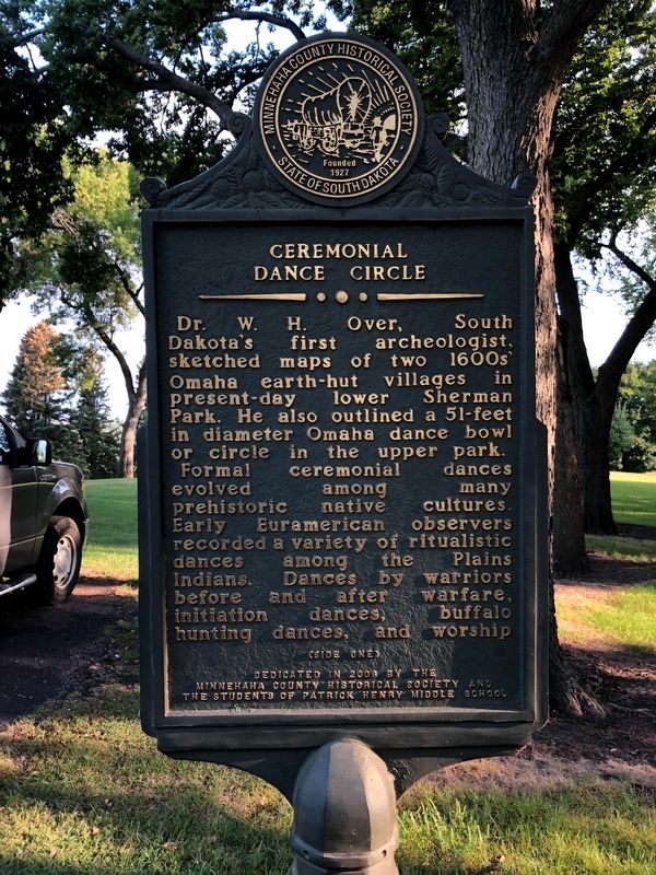
Dr. W.H. Over, South Dakota's first archeologist, sketched maps of two 1600s' Omaha earth-hut villages in present-day lower Sherman Park. He also outlined a 51-feet in diameter Omaha dance bowl or circle in the upper park.
Formal ceremonial dances evolved among many prehistoric native cultures. Early Euramerican observers recorded a variety of ritualistic dances among the Plains Indians. Dances by warriors before and after warfare, initiation dances, buffalo hunting dances, and worship
Side 2
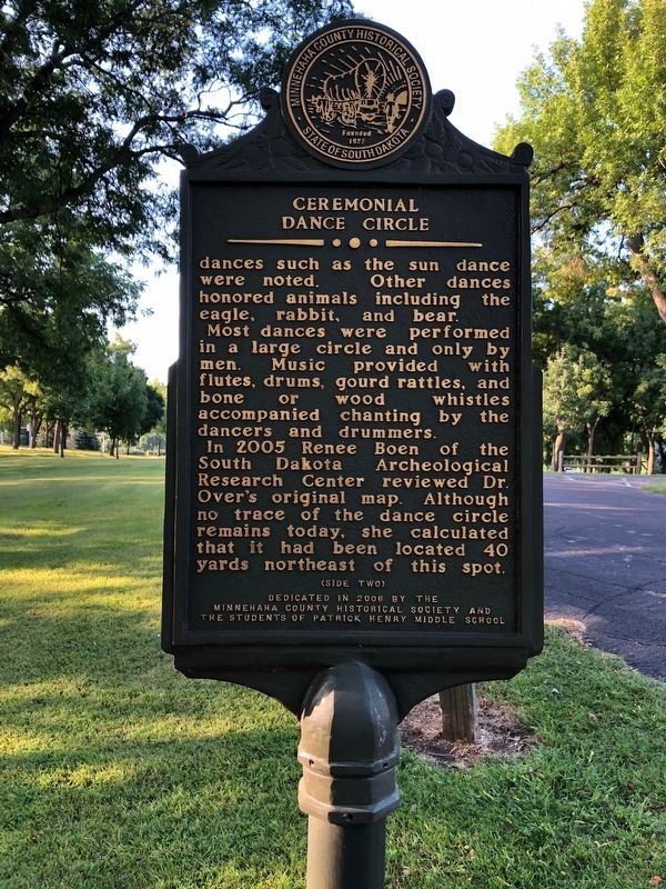
dances such as the sun dance were noted. Other dances honored animals including the eagle, rabbit, and bear.
Most dances were performed in a large circle and only by men. Music provided with flutes, drums, gourd rattles, and bone or wood whistles accompanied chanting by the dancers and drummers.
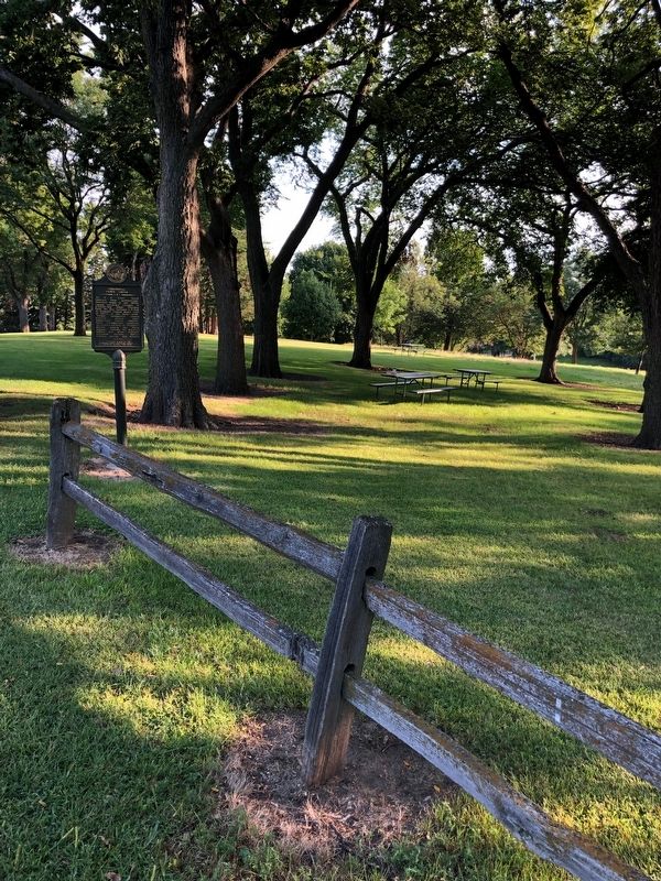
In 2005 Renee Boen of the South Dakota Archeological Research Center reviewed Dr. Over's original map. Although no trace of the dance circle remains today, she calculated that it had been located 40 yards northeast of this spot.
Erected 2008 by Minnehaha County Historical Society and the Students of Patrick Henry Middle School.
Topics. This historical marker is listed in these topic lists: Anthropology & Archaeology • Arts, Letters, Music • Native Americans. A significant historical year for this entry is 2005.
Location. 43° 32.085′ N, 96° 45.736′ W. Marker is in Sioux Falls, South Dakota, in Minnehaha County. Marker is on W 22nd Street. Marker is located in Sherman Park. Touch for map. Marker is at or near this postal address: 3410 W 22nd Street, Sioux Falls SD 57105, United States of America. Touch for directions.
Other nearby markers. At least 8 other markers are within walking distance of this marker. Linear Mound (within shouting distance of this marker); Sherman Park Indian Burial Mounds (within shouting distance of this marker); The Fifth Mound (about 300 feet away, measured in a direct line); 500 A.D. Copper Knife (about 500 feet away); Earth-Hut Villages (about 600 feet away); Mound Builders Village (about 600 feet away); Sherman Park (about 600 feet away); E. A. Sherman (about 600 feet away). Touch for a list and map of all markers in Sioux Falls.
Credits. This page was last revised on September 12, 2019. It was originally submitted on September 11, 2019, by Ruth VanSteenwyk of Aberdeen, South Dakota. This page has been viewed 336 times since then and 23 times this year. Photos: 1, 2, 3. submitted on September 11, 2019, by Ruth VanSteenwyk of Aberdeen, South Dakota. • Andrew Ruppenstein was the editor who published this page.


