Mineola in Wood County, Texas — The American South (West South Central)
The Dixie Overland Highway - The Jim Hogg Highway
Inscription.
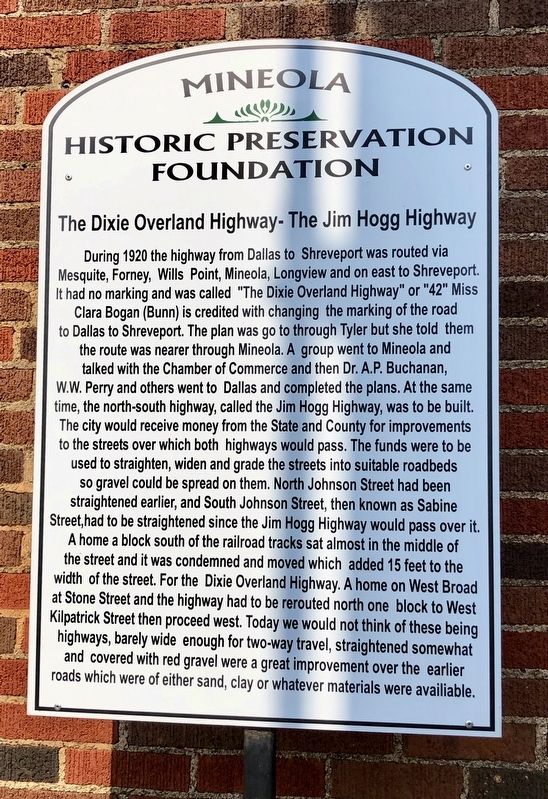
During 1920 the highway from Dallas to Shreveport was routed through Mesquite, Forney, Wills Point, Mineola, Longview and on east to Shreveport. It has no marking and was called "The Dixie Overland Highway" or "42". Miss Clara Bogan (Bunn) is credited with changing the marking of the road from Dallas to Shreveport. The plan was to go through Tyler but she told them the route was nearer through Mineola. A group went to Mineola and talked with the Chamber of Commerce and then Dr. A.P. Buchanan, W.W. Perry and others went to Dallas and completed the plans. At the same time, the north-south highway, called the Jim Hogg Highway, was to be built. The city would receive money from the State and County for improvements to the streets over which both highways would pass. The funds were to be used to straighten, widen and grade the streets into suitable roadbeds so gravel could be spread on them. North Johnson Street had been straightened earlier, and South Johnson Street, then known as Sabine Street, had to be straightened since the Jim Hogg Highway would pass over it. A home a block south of the railroad tracks sat almost in the middle of the street and it was condemned and moved which added 15 feet to the width of the street. For the Dixie Overland Highway, a home on West Broad at Stone Street and the highway had to be rerouted north one block
to West Kilpatrick Street then proceed west. Today we would not think of these being highways, barely wide enough for two-way travel, straightened somewhat and covered with red gravel were a great improvement over the earlier roads which were of either sand, clay or whatever materials were available.
Erected by Mineola Historic Preservation Foundation.
Topics. This historical marker is listed in this topic list: Roads & Vehicles. A significant historical year for this entry is 1920.
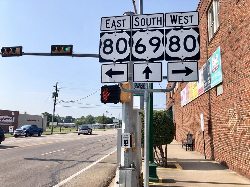
Location. 32° 39.792′ N, 95° 29.297′ W. Marker is in Mineola, Texas, in Wood County. Marker is at the intersection of South Pacific Street (U.S. 69) and East Broad Street (U.S. 80) on South Pacific Street. Touch for map. Marker is at or near this postal address: 109 East Broad Street, Mineola TX 75773, United States of America. Touch for directions.
Other nearby markers. At least 8 other markers are within walking distance of this marker. First National Bank Building (about 300 feet away, measured in a direct line); Site of Public Mineral Water Well (about 300 feet away); Mineola Post Office (about 300 feet away); Government Projects in Mineola (about 400 feet away); Site of the Coleman Family Drug Store and Clinic (about 400 feet away); Saloons in Mineola (about 400 feet away); The Thomas Breen Family (about 400 feet away); Mineola Opera Houses (about 400 feet away). Touch for a list and map of all markers in Mineola.
Regarding The Dixie Overland Highway - The Jim Hogg Highway.
Much of the former Dixie Overland Highway was here along present day U.S. Highway 80. The Jim Hogg Highway route went South along South Pacific Street (shown in the photo)and north along present day Texas Highway 37 (North Pacific Street).
Credits. This page was last revised on September 13, 2019. It was originally submitted on September 13, 2019, by Mark Hilton of Montgomery, Alabama. This page has been viewed 342 times since then and 58 times this year. Photos: 1, 2. submitted on September 13, 2019, by Mark Hilton of Montgomery, Alabama.

