Colonia San Miguel Chapultepec I Sección in Ciudad de México, Mexico — The Valley of Mexico (The Central Highlands)
The Santa Fe Aqueduct
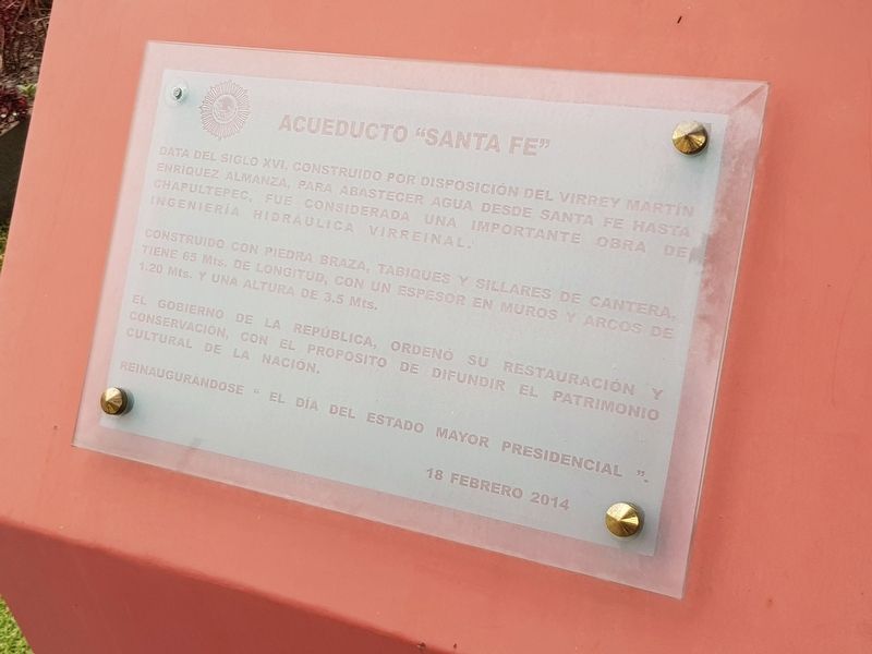
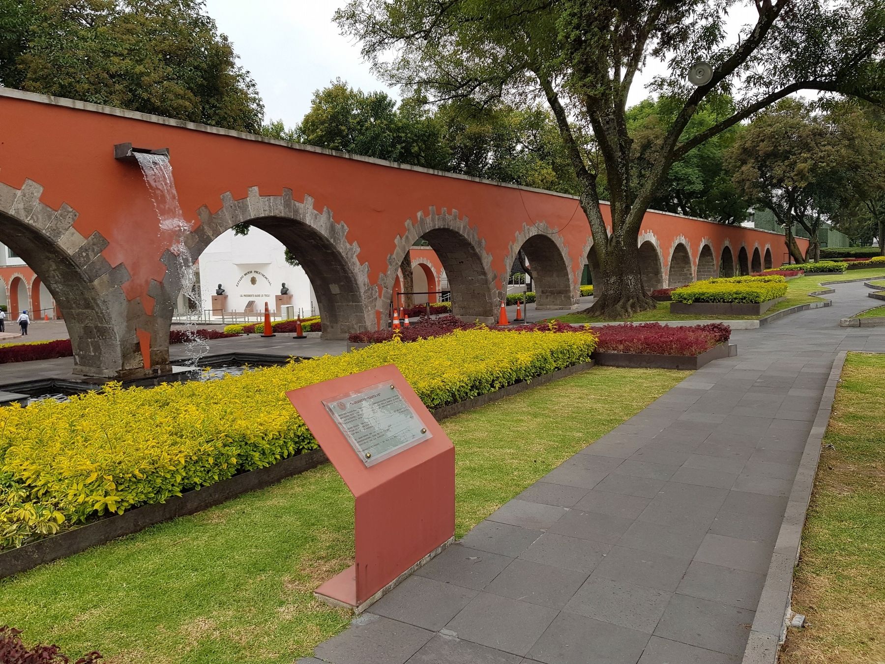
Data del siglo XVI, construido por disposición del Virrey Martín Enríquez Almanza, para abastecer agua desde Santa Fe hasta Chapultepec, fue considerada una importante obra de ingeniería hidráulica virreinal.
Construido con piedra braza, tabiques y sillares de cantera, tiene 65 Mts. de longitud, con un espesor en muros y arcos de 1.20 Mts. y una altura de 3.5 Mts.
El Gobierno de la República, ordenó su restauración y conservación, con el proposito de difundir el patrimonio cultural de la nación.
Reinaugurandose “El Día del Estado Mayor Presidencial”.
18 febrero 2014
The Santa Fe Aqueduct
This aqueduct dates from the 16th century and was built by Viceroy Martín Enríquez Almanza to supply water from Santa Fe to Chapultepec. It was considered an important work of viceroyal hydraulic engineering.
Built with volcanic stone and quarried stone partitions, it is 65 m long, with a thickness in walls and arches of 1.20 m and a height of 3.5 m.
The Government of the Republic ordered its restoration and conservation in order to spread information about the cultural heritage of the nation.
Reinaugurated on “The Day of the Presidential General Staff.”, February 18, 2014
Erected 2014 by Gobierno de la República de México.
Topics. This historical marker is listed in these topic lists: Colonial Era • Industry & Commerce • Man-Made Features. A significant historical date for this entry is February 18, 2014.
Location. 19° 25.022′ N, 99° 11.549′ W. Marker is in Ciudad de México. It is in Colonia San Miguel Chapultepec I Sección. Marker is on Molino del Rey just east of Fernando Alencastre, on the right when traveling east. Touch for map. Marker is in this post office area: Ciudad de México 11850, Mexico. Touch for directions.
Other nearby markers. At least 8 other markers are within walking distance of this marker. Captains Gustavo Garmendia and Federico Montes (within shouting distance of this marker); Molino del Rey (within shouting distance of this marker); Fallen Mexican Officers of the Battle of Molino del Rey (within shouting distance of this marker); Carronade (within shouting distance of this marker); 12-inch Cannon (within shouting distance of this marker); 24-pounder Cannon (within shouting distance of this marker); 24-pounder Gribeauval Cannon (within shouting distance of this marker); Blakely Cannon (within shouting distance of this marker). Touch for a list and map of all markers in Ciudad de México.
Credits. This page was last revised on April 17, 2020. It was originally submitted on September 15, 2019, by J. Makali Bruton of Accra, Ghana. This page has been viewed 147 times since then and 16 times this year. Photos: 1, 2. submitted on September 15, 2019, by J. Makali Bruton of Accra, Ghana.

