St. Ignace in Mackinac County, Michigan — The American Midwest (Great Lakes)
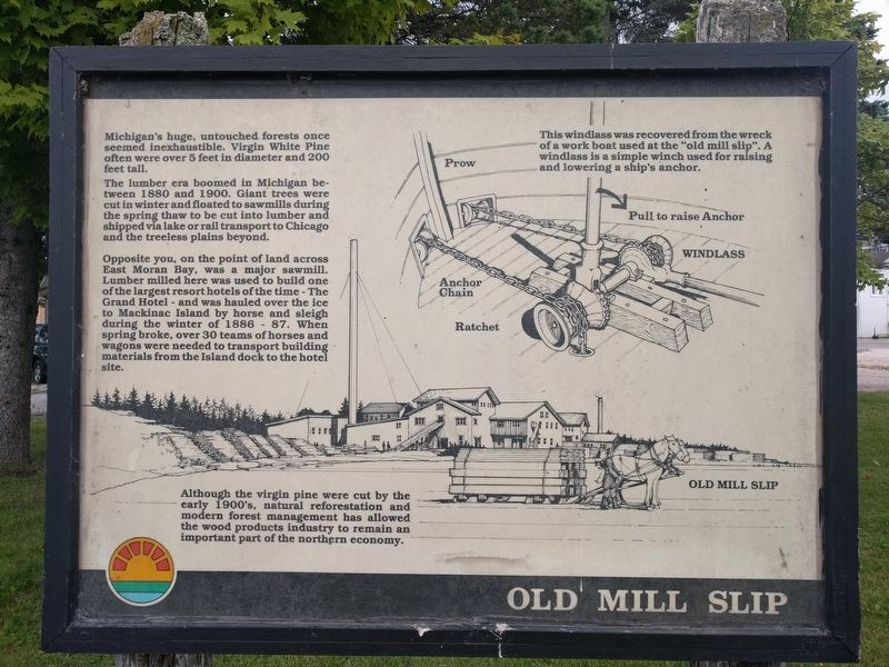
Old Mill Slip
Michigan's huge, untouched forests once seemed inexhaustible. Virgin White Pine often were over 5 feet in diameter and 200 feet tall.
The lumber era boomed in Michigan between 1880 and 1900. Giant trees were cut in winter and floated to sawmills during the spring thaw to be cut into lumber and shipped via lake or rail transport to Chicago and the treeless plains beyond.
Opposite you, on the point of land across East Moran Bay, was a major sawmill. Lumber milled here was used to build one of the largest resort hotels of the time - The Grand Hotel - and was hauled over the ice to Mackinac Island by horse and sleigh during the winter of 1886 - 87. When spring broke, over 30 teams of horses and wagons were needed to transport building materials from the Island dock to the hotel site.
Although the virgin pine were cut by the early 1900's, natural reforestation and modern forest management has allowed the wood products industry to remain an important part of the northern economy.
Topics. This historical marker is listed in these topic lists: Industry & Commerce • Natural Resources • Waterways & Vessels. A significant historical year for this entry is 1880.
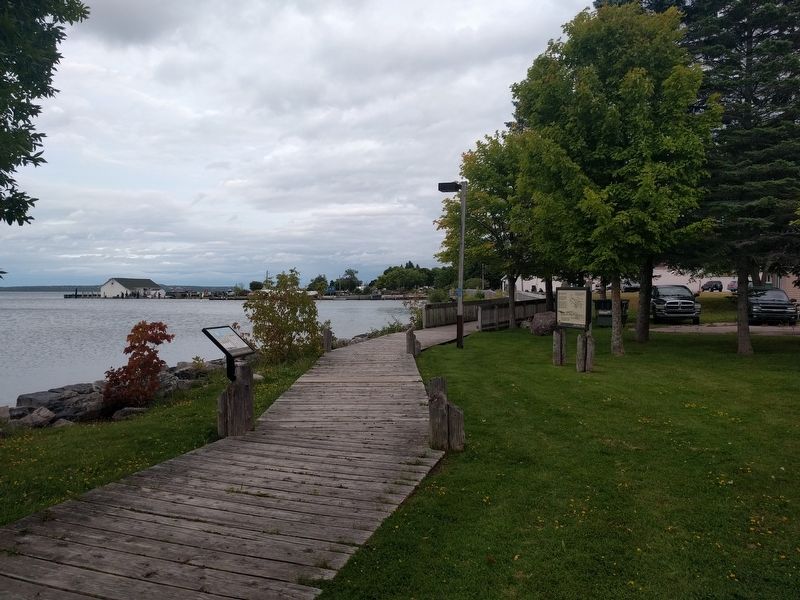
Location. 45° 52.204′ N, 84° 43.774′ W. Marker is in St. Ignace, Michigan, in Mackinac County. Marker can be reached from North State Street (Business Interstate 75) north of East Goudreau Avenue, on the right when traveling north. Marker is on the Huron Boardwalk. Touch for map. Marker is at or near this postal address: 435 North State Street, Saint Ignace MI 49781, United States of America. Touch for directions.
Other nearby markers. At least 8 other markers are within walking distance of this marker. Watery Graveyard (a few steps from this marker); Commercial Fishing (a few steps from this marker); Two Cultures Meet (about 300 feet away, measured in a direct line); Fort de Buade (about 400 feet away); Native American Land Losses (about 500 feet away); Structures of Local Native Americans in the 1600's (about 500 feet away); What's in the Water? (about 600 feet away); Voyage of Exploration (about 600 feet away). Touch for a list and map of all markers in St. Ignace.
Credits. This page was last revised on November 25, 2020. It was originally submitted on September 15, 2019, by Joel Seewald of Madison Heights, Michigan. This page has been viewed 322 times since then and 19 times this year. Photos: 1, 2, 3. submitted on September 15, 2019, by Joel Seewald of Madison Heights, Michigan.


