St. Ignace in Mackinac County, Michigan — The American Midwest (Great Lakes)
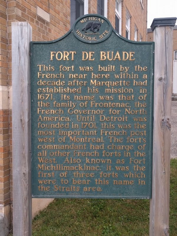
Fort de Buade
Erected 1958 by Michigan Historical Commission. (Marker Number 98.)
Topics and series. This historical marker is listed in these topic lists: Colonial Era • Forts and Castles. In addition, it is included in the Michigan Historical Commission series list. A significant historical year for this entry is 1671.
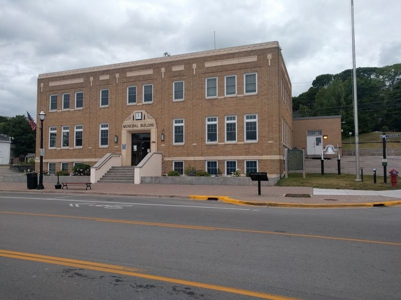
Location. 45° 52.135′ N, 84° 43.741′ W. Marker is in St. Ignace, Michigan, in Mackinac County. Marker is at the intersection of North State Street (Business Interstate 75) and East Goudreau Street, on the left when traveling north on North State Street. Touch for map. Marker is at or near this postal address: 396 North State Street, Saint Ignace MI 49781, United States of America. Touch for directions.
Other nearby markers. At least 8 other markers are within walking distance of this marker. Native American Land Losses (about 300 feet away, measured in a direct line); Old Mill Slip (about 400 feet away); Watery Graveyard (about 500 feet away); Mackinaw Boat (about 500 feet away); Commercial Fishing (about 500 feet away); a different marker also named Mackinaw Boat (about 600 feet away); Civilian Conservation Corps (about 600 feet away); Two Cultures Meet (about 800 feet away). Touch for a list and map of all markers in St. Ignace.
Also see . . . Fort de Buade. Wikipedia article (Submitted on September 15, 2019, by Joel Seewald of Madison Heights, Michigan.)
Credits. This page was last revised on January 27, 2022. It was originally submitted on September 15, 2019, by Joel Seewald of Madison Heights, Michigan. This page has been viewed 335 times since then and 26 times this year. Photos: 1, 2. submitted on September 15, 2019, by Joel Seewald of Madison Heights, Michigan.

