
Near Chéticamp in Inverness County, Nova Scotia — The Atlantic Provinces (North America)
Jeanne Dugas
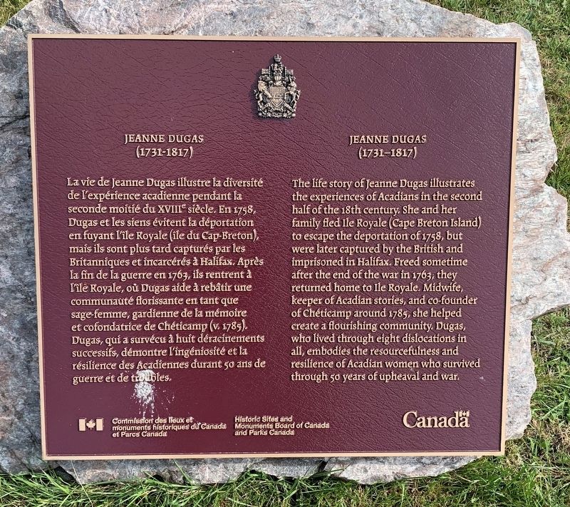
Photographed by Steve Stoessel, August 28, 2019
1. Jeanne Dugas Marker

The life story of Jeanne Dugas illustrates the experiences of Acadíans in the second half of the 18th century. She and her family fled Ile Royale (Cape Breton Island) to escape the deportation of 1758, but were later captured by the British and imprisoned in Halifax. Freed sometime after the end of the war in 1763, they returned home to le Royale. Midwife, keeper of Acadian stories, and co-founder of Chéticamp around 1785, she helped create a flourishing community. Dugas, who lived through eight dislocations in all, embodies the resourcefulness and resilience of Acadian women who survived through 50 years of upheaval and war.
this page online
Erected by Historic Sites and Monuments Board of Canada.
Topics and series. This historical marker is listed in these topic lists: Disasters • Settlements & Settlers • Women. In addition, it is included in the Canada, Historic Sites and Monuments Board series list. A significant historical year for this entry is 1758.
Location. 46° 38.582′ N, 61° 0.093′ W. Marker is near Chéticamp, Nova Scotia, in Inverness County. It is on Cabot Trail. Touch for map. Marker is at or near this postal address: 15584 Cabot Trail, Chéticamp NS B0E 1H0, Canada. Touch for directions.

Regionally, this marker is on Nova Scotia’s Cape Breton Island. It is also in the Maritimes and in Atlantic Canada. Globally, it is in the North Atlantic Region, North America, the Western Hemisphere, the Western World, and the Anglosphere. Historically, it finds itself in what was once a British colony, the Viceroyalty of New France, and Acadia.
Other nearby markers. At least 8 other markers are within 3 kilometers of this marker, measured as the crow flies: La fin d'un rêve / The End of a Dream (approx. 1.6 kilometers away); Dés l'année suivante, en 1927 / The following year, in 1927 (approx. 1.6 kilometers away); M. Joseph Macfarland / Mr. Joseph MacFarland (approx. 1.6 kilometers away); Tunnel et Quai de la mine / Tunnel and Mine Wharf (approx. 1.7 kilometers away); La Bouée du havre / The Harbour Bouy (approx. 1.7 kilometers away); Voie ferrée et « Lu vieille Louise » / The railroad and "The Old Louise" (approx. 1.7 kilometers away); The Gypsum Mine / La Mine De Plâtre (approx. 1.7 kilometers away); Chéticamp War Memorial (approx. 2.3 kilometers away). Touch for a list and map of all markers in Chéticamp.
Credits. This page was last revised on March 17, 2025. It was originally submitted on September 12, 2019, by Steve Stoessel of Niskayuna, New York. This page has been viewed 447 times since then and 29 times this year. Last updated on September 15, 2019, by Steve Stoessel of Niskayuna, New York. Photo 1. submitted on September 12, 2019, by Steve Stoessel of Niskayuna, New York. • Andrew Ruppenstein was the editor who published this page.
