Franklin in Williamson County, Tennessee — The American South (East South Central)
The Carter Farm
The Cotton Gin and the Angle
— Tennessee Civil War National Heritage Area —
Inscription.
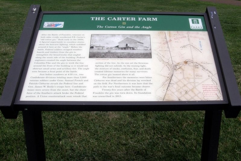
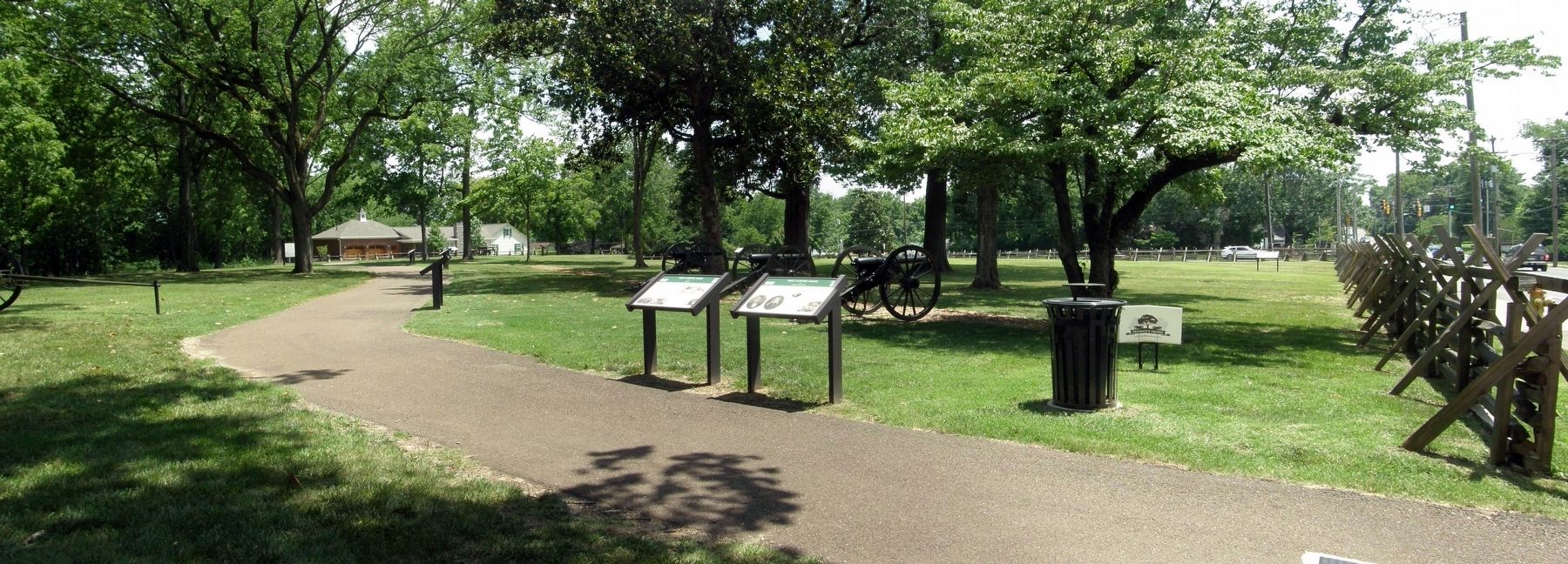
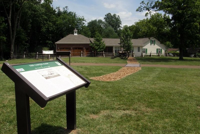
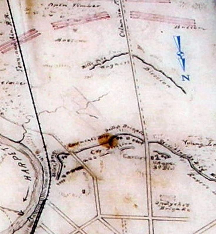
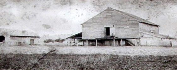
After the Battle of Franklin, veterans on both sides vividly recollected F.B. Carter’s “old cotton gin.” Built early in the 1850s, it figured importantly in countless stories about the heaviest fighting, which unfolded here at the “angle.” Before the battle, Federal soldiers stripped weatherboards and timber from the gin to strengthen the breastworks that angled along the south side of the building. Federal engineers created the angle between the Columbia Pike and the gin to work the line around the front of the building so it would not obstruct small arms and artillery fire. The angle became the focal point of the battle.
Just before sundown at 4:35P.M., two Confederate divisions totaling more than 5,000 veteran soldiers under Gens. Samuel French and Patrick Cleburne struck the Federal line and Gen. James W. Reilly’s troops here. Confederate losses were severe from the onset, but the sheer force of the Southern attack broke the Federal position. A Union counterattack soon retook that section of the line. As the sun set the ferocious fighting did not subside. In the waning light, the mixture of smoke, confusion, fear and death created lifetime memories for many survivors. The cotton gin loomed above it all.
For Southerners the memories were bitter. Cleburne was dead and his division lay wrecked on the field. For Northerners it was here that the path to the war’s final outcome became clearer.
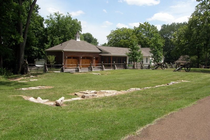
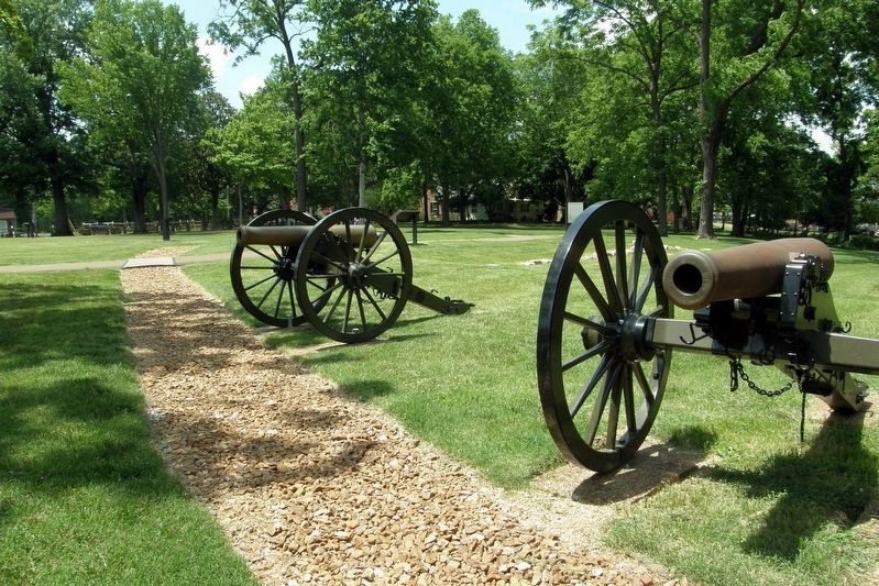
Twenty-five years after the Battle of Franklin the gin was torn down. Its foundation was unearthed in 2015.
Erected by Historic Franklin Parks.
Topics. This historical marker is listed in this topic list: War, US Civil. A significant historical date for this entry is November 30, 1864.
Location. 35° 54.946′ N, 86° 52.378′ W. Marker is in Franklin, Tennessee, in Williamson County. Marker is at the intersection of Columbia Avenue (Business U.S. 31) and Cleburne Street, on the right when traveling north on Columbia Avenue. Located at Cotton Gin Site and Park. Touch for map. Marker is in this post office area: Franklin TN 37064, United States of America. Touch for directions.
Other nearby markers. At least 8 other markers are within walking distance of this marker. A different marker also named The Carter Farm (a few steps from this marker); a different marker also named The Carter Farm (a few steps from this marker); a different marker also named The Carter Farm (a few steps from this marker); a different marker also named The Carter Farm (within shouting distance of this marker); a different marker also named The Carter Farm (within shouting distance of this marker); Main Entrenchment Federal Battle Line (within shouting distance of this marker); a
different marker also named The Carter Farm (within shouting distance of this marker); a different marker also named The Carter Farm (within shouting distance of this marker). Touch for a list and map of all markers in Franklin.
Credits. This page was last revised on July 27, 2022. It was originally submitted on September 16, 2019, by Larry Gertner of New York, New York. This page has been viewed 236 times since then and 35 times this year. Photos: 1, 2, 3, 4, 5, 6, 7. submitted on September 16, 2019, by Larry Gertner of New York, New York. • Bernard Fisher was the editor who published this page.
