Kenmare in County Kerry, Munster, Ireland — Irish South-West ((Éire) North Atlantic Ocean)
Fair Green
Kenmare Heritage Town
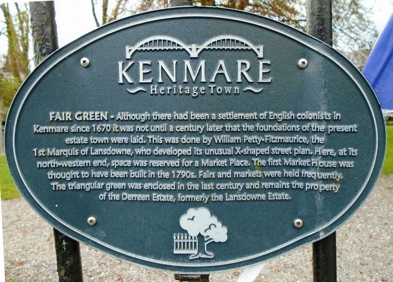
Photographed by William Fischer, Jr., May 18, 2019
1. Fair Green Marker

Topics. This historical marker is listed in these topic lists: Industry & Commerce • Parks & Recreational Areas • Settlements & Settlers. A significant historical year for this entry is 1670.
Location. 51° 52.828′ N, 9° 35.029′ W. Marker is in Kenmare, Munster, in County Kerry. It is on The Square (National Route N71) just north of Henry Street, on the right when traveling north. Touch for map. Marker is in this post office area: Kenmare, Munster V93 CY93, Ireland. Touch for directions.

Regionally, it is
this page online
Other nearby markers. At least 6 other markers are within walking distance of this marker: War of Independence (here, next to this marker); James Joyce Pub Award (within shouting distance of this marker); The Market House (within shouting distance of this marker); Kenmare Heritage Town (within shouting distance of this marker); Henry Street (within shouting distance of this marker); Main Street (within shouting distance of this marker).
Also see . . . Kenmare Heritage Trail. (Submitted on September 17, 2019, by William Fischer, Jr. of Reynoldsburg, Ohio.)
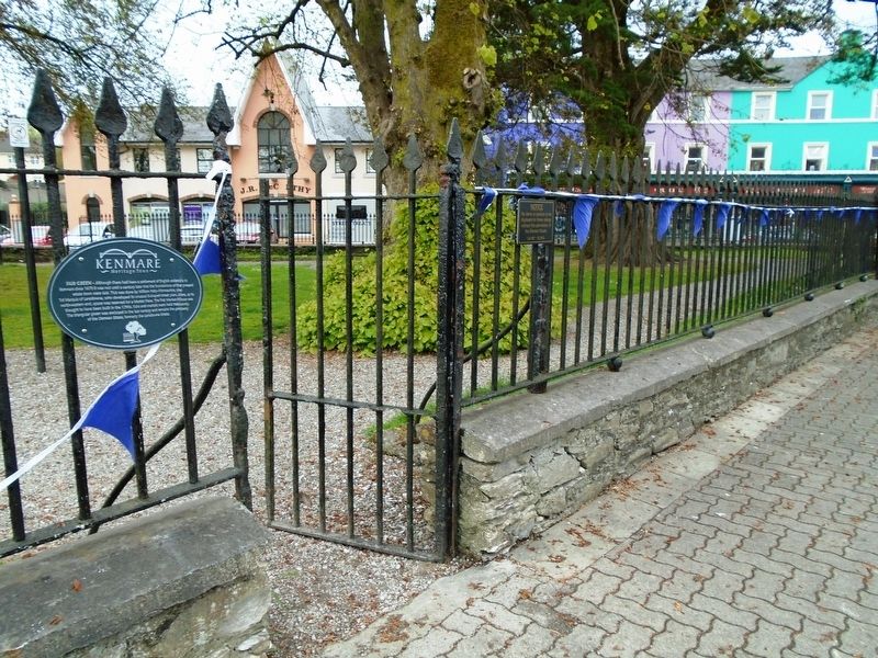
Photographed by William Fischer, Jr., May 18, 2019
2. Fair Green and Marker
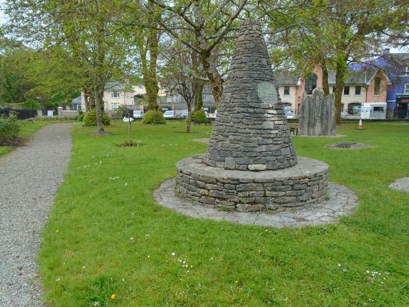
Photographed by William Fischer, Jr., May 18, 2019
3. Fair Green and its Tidy Town Award Cairn
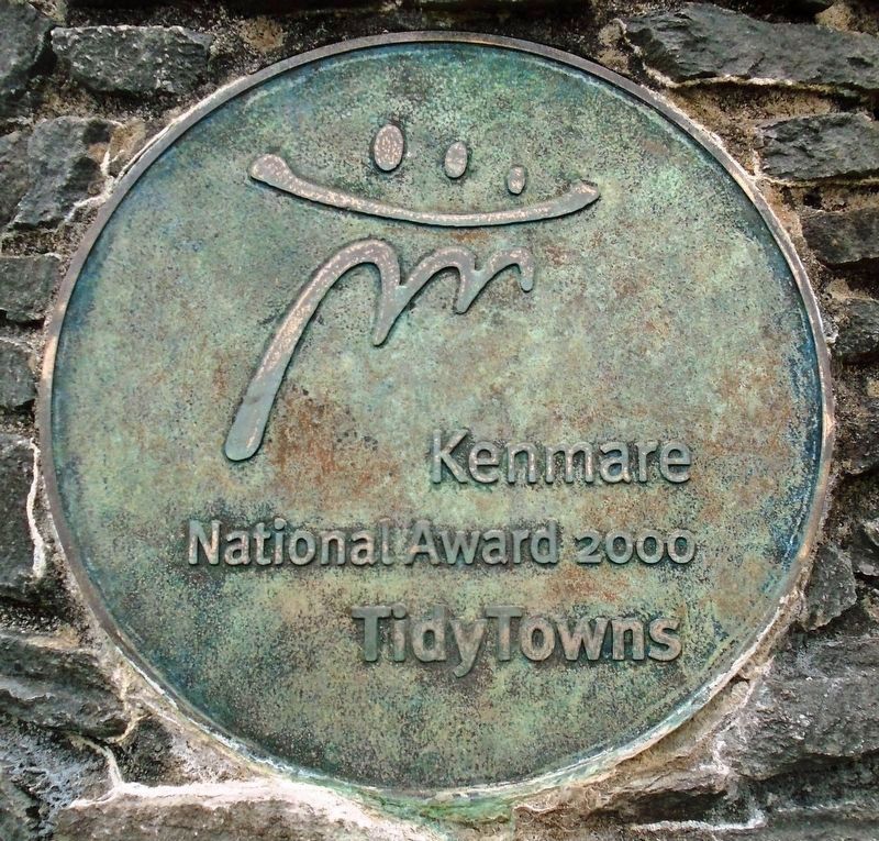
Photographed by William Fischer, Jr., May 18, 2019
4. 2000 National Tidy Town Award Medallion in Fair Green
Credits. This page was last revised on September 18, 2019. It was originally submitted on September 17, 2019, by William Fischer, Jr. of Reynoldsburg, Ohio. This page has been viewed 515 times since then and 50 times this year. Photos: 1, 2, 3, 4. submitted on September 17, 2019, by William Fischer, Jr. of Reynoldsburg, Ohio.
