Rolla in Phelps County, Missouri — The American Midwest (Upper Plains)
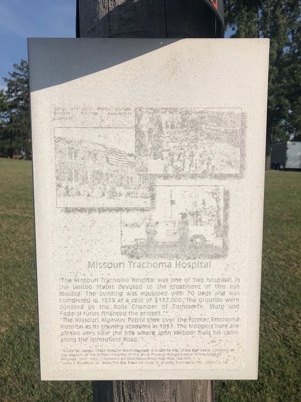
Missouri Trachoma Hospital
Rolla
"The Missouri Highway Patrol took over the former Trachoma Hospital as its training academy in 1957. The troopers here are parked very near the site where John Webber built his cabin along the Springfield Road."
Route 66. Across 1930s Missouri from Missouri: A Guide to the "Show Me" State, compiled by the workers of the Writers Program of the Works Progress Administration in the State of Missouri, 1941
John F. Bradbury, Jr., Rolla The Old Town (St. Louis: G. Bradley Publishing, Inc., 2002), p. 69.
Topics. This historical marker is listed in these topic lists: Government & Politics • Science & Medicine. A significant historical year for this entry is 1939.
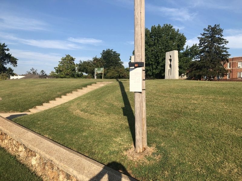
Location. 37° 56.796′ N, 91° 46.729′ W. Marker has been reported damaged. Marker is in Rolla, Missouri, in Phelps County. Marker is on Kingshighway (Business Interstate 44) 0.1 miles west of U.S. 63, on the right when traveling west. Touch for map. Marker is at or near this postal address: 1006 Kingshighway, Rolla MO 65401, United States of America. Touch for directions.
Other nearby markers. At least 8 other markers are within walking distance of this location. The Webber Homestead (within shouting distance of this marker); Phelps County Veterans Memorial (approx. ¼ mile away); Edgar D. Lanning (approx. 0.3 miles away); Veterans Circle (approx. 0.3 miles away); Fort Wyman (approx. 0.3 miles away); Phelps County Courthouse (approx. 0.3 miles away); Central Elementary (approx. 0.3 miles away); In Honor of Our Sons and Daughters (approx. 0.3 miles away). Touch for a list and map of all markers in Rolla.
Credits. This page was last revised on September 18, 2019. It was originally submitted on September 18, 2019, by Devry Becker Jones of Washington, District of Columbia. This page has been viewed 210 times since then and 29 times this year. Photos: 1, 2. submitted on September 18, 2019, by Devry Becker Jones of Washington, District of Columbia.

