Kenmare in County Kerry, Munster, Ireland — Irish South-West ((Éire) North Atlantic Ocean)
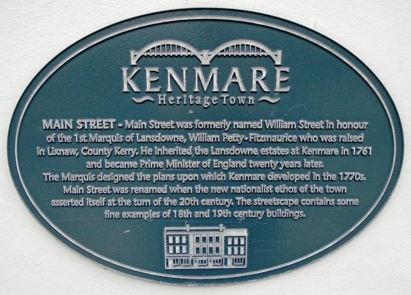
Main Street
Topics. This historical marker is listed in these topic lists: Government & Politics • Industry & Commerce • Man-Made Features • Settlements & Settlers. A significant historical year for this entry is 1761.
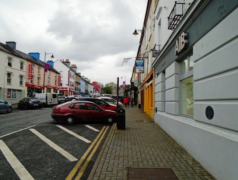
Location. 51° 52.793′ N, 9° 34.995′ W. Marker is in Kenmare, Munster, in County Kerry. Marker is at the intersection of Main Street (National Route N71) and Henry Street, on the right when traveling south on Main Street. Touch for map. Marker is at or near this postal address: 9 Main Street, Kenmare, Munster V93 H279, Ireland. Touch for directions.
Other nearby markers. At least 6 other markers are within walking distance of this marker. Henry Street (here, next to this marker); War of Independence (within shouting distance of this marker); Fair Green (within shouting distance of this marker); James Joyce Pub Award (about 90 meters away, measured in a direct line); The Market House (about 90 meters away); Kenmare Heritage Town (about 120 meters away).
Also see . . .
1. Kenmore Heritage. (Submitted on September 19, 2019, by William Fischer, Jr. of Scranton, Pennsylvania.)
2. Kenmare Heritage Trail. (Submitted on September 19, 2019, by William Fischer, Jr. of Scranton, Pennsylvania.)
3. William Petty, 2nd Earl of Shelburne (1st Marquess of Lansdowne). (Submitted on September 19, 2019, by William Fischer, Jr. of Scranton, Pennsylvania.)
Credits. This page was last revised on September 19, 2019. It was originally submitted on September 19, 2019, by William Fischer, Jr. of Scranton, Pennsylvania. This page has been viewed 143 times since then and 10 times this year. Photos: 1, 2. submitted on September 19, 2019, by William Fischer, Jr. of Scranton, Pennsylvania.

