Niagara Falls in Niagara County, New York — The American Northeast (Mid-Atlantic)
The Cave of the Winds
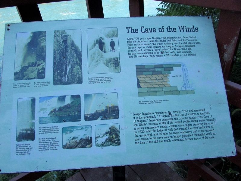
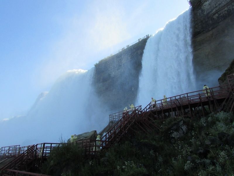
About 700 years ago, Niagara Falls separated into three distinct falls, the American Falls, the Bridal Veil Falls, and the Horseshoe Falls. As time passed, the water tumbling over the cliff edge eroded the soft layer of shale beneath the tougher Lockport Dolostone caprock and formed a “cave” behind the Bridal Veil Falls. Its size was estimated to be 120 feet wide, 100 feet high, and 50 feet deep (36.6 meters x 30.5 meters x 15.2 meters).
Joseph Ingraham discovered the cave in 1834 and described it in his guidebook, “A Manual for the Use of Visitors to the Falls of Niagara.” Ingraham suggested the cave be named “The Cave of the Winds” because drafts of air caused by the falling water created a windy atmosphere inside. Visitors soon began exploring the area. In 1920, after the ledge of rock that formed the cave broke free of the gorge wall and fell into the river, walkways had to be rerouted and access to the cave was no longer permitted. Remedial work on the face of the cliff has totally eliminated former traces of the cave.
Topics. This historical marker is listed in this topic list: Natural Features.
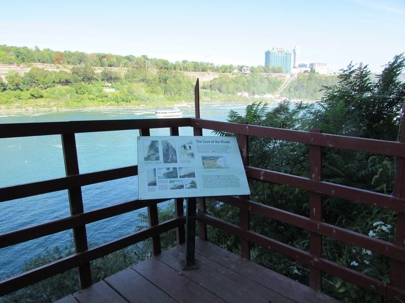
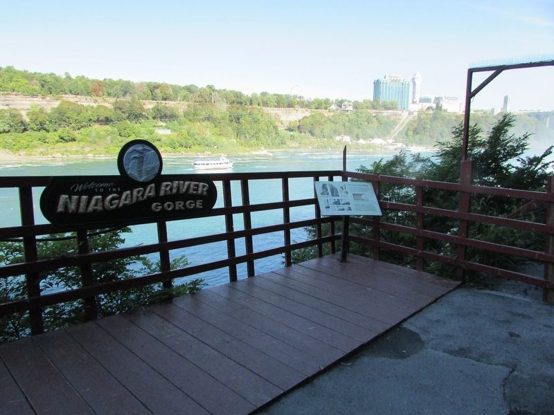
Location. 43° 4.934′ N, 79° 4.184′ W. Marker is in Niagara Falls, New York, in Niagara County. Marker can be reached from Goat Island Road. Marker is located in Niagara Falls State Park, on Goat Island. Touch for map. Marker is in this post office area: Niagara Falls NY 14303, United States of America. Touch for directions.
Other nearby markers. At least 8 other markers are within walking distance of this marker. Cave of the Winds and Bridal Veil Falls (here, next to this marker); Niagara River Corridor Important Bird Area (within shouting distance of this marker); Original Stepping Stone (about 400 feet away, measured in a direct line); World's First Hydroelectric Power Plant (about 400 feet away); The Power Portal (about 400 feet away); Nikola Tesla (about 400 feet away); Cave of the Winds Elevator (about 400 feet away); a different marker also named Nikola Tesla (about 400 feet away). Touch for a list and map of all markers in Niagara Falls.
More about this marker. An illustration on the right side of the marker depicts a cross-section of the Niagara Gorge and shows what the cave might have looked like.
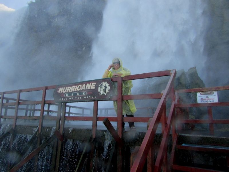
A series of photographs on the left side of the marker have the following captions: “Prior to 1920, stairs provided access for visitors to walk behind the Bridal Veil Falls.”; “The Biddle Staircase, built in 1829, permitted access to the gorge for visitors.”; “On winter months, massive amounts of ice build up at the base of the falls. This 1896 photograph shows John Barlow (left) a guide at the falls for 29 years.”; “Visitors who stand on the Hurricane Deck can feel the mighty spray and turbulent drafts of air as the roaring falls drop into the Niagara Gorge.”; “The current Cave of the Winds tour started operations in 1925 after modern elevators provided access to the lower gorge area.”; and “New York State Parks staff take down the Cave of the Winds walkways and platforms each year due to the potential damage from the winter buildup of ice at the falls. They also reconstruct them each spring.”
Credits. This page was last revised on September 22, 2019. It was originally submitted on September 22, 2019, by Bill Coughlin of Woodland Park, New Jersey. This page has been viewed 247 times since then and 21 times this year. Photos: 1, 2, 3, 4, 5. submitted on September 22, 2019, by Bill Coughlin of Woodland Park, New Jersey.
