Saint John in Saint John County, New Brunswick — The Atlantic Provinces (North America)
Fort La Tour
Le Fort La Tour
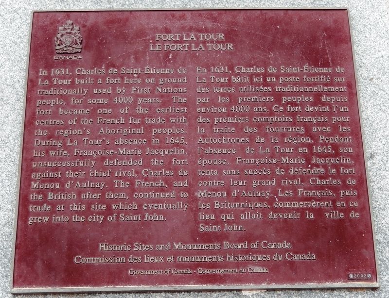
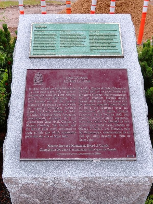
In 1631, Charles de Sainte-Étienne de La Tour built a fort here on ground traditionally used by First Nations people, for some 4000 years. The fort became one of the earliest centres of the French fur trade with the region's Aboriginal peoples. During La Tour’s absence in 1645, his wife, Françoise-Marie Jacquelin, unsuccessfully defended the fort against their chief rival, Charles de Menou d'Aulnay. The French, and the British after them, continued to trade at this site which eventually grew into the city of Saint John.
En 1631, Charles de Saint-Étienne de La Tour bâtit ici un poste fortifié sur des terres utilisées traditionnellement par les premiers peuples depuis environ 4000 ans. Ce fort devint l'un des premiers comptoirs français pour la traite des fourrures avec les Autochtones de la région. Pendant l’absence de la Tour en 1645, son épouse, Françoise-Marie Jacquelin, tenta sans succès de défendre le fort contre leur grand rival, Charles de Menou d'Aulnay. Les Français, puis les Britanniques, commercèrent en ce lieu qui allait devenir la ville de Saint John.
Erected 2002 by Historic Sites and Monuments Board of Canada/Commission des lieux et monuments historiques du Canada.
Topics and series. This historical marker is listed in these topic lists: Colonial Era • Forts and Castles • Industry & Commerce • Settlements & Settlers. In addition, it is included in the Canada, Historic Sites and Monuments Board series list. A significant historical year for this entry is 1631.
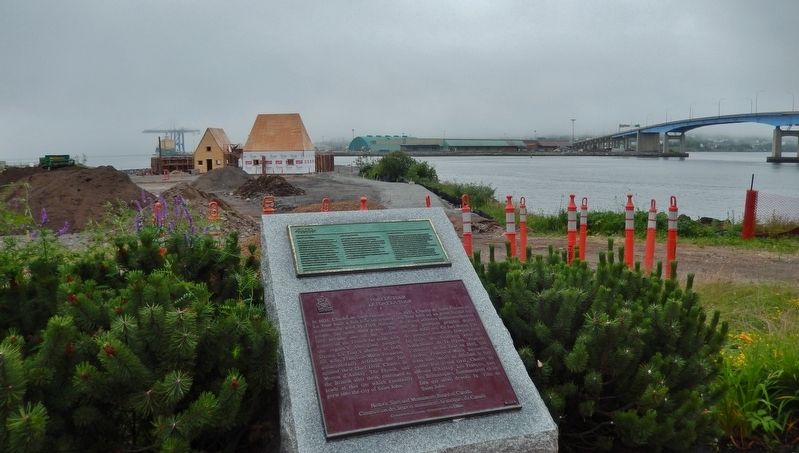
Location. 45° 16.385′ N, 66° 4.385′ W. Marker is in Saint John, New Brunswick, in Saint John County. Marker can be reached from the intersection of Fort Latour Drive and Navy Way, on the right when traveling east. Marker is located along the Harbour Passage Trail, about 2/10 kilometer east of Navy Way. Touch for map. Marker is at or near this postal address: 124 Chesley Drive, Saint John NB E2K 1K7, Canada. Touch for directions.
Other nearby markers. At least 8 other markers are within walking distance of this marker. A different marker also named Fort La Tour (here, next to this marker); Menahkwesk "Saint John" (within shouting distance of this marker); a different marker also named Fort La Tour (within shouting distance of this marker); The Shards of Time (within shouting distance of this marker); The Tides of Fundy (approx. 0.3 kilometers away); The Saint John Harbour Bridge | Le pont du port de Saint John (approx. 0.3 kilometers
away); Fort Howe (approx. 0.4 kilometers away); Saint John – The Working Port (approx. half a kilometer away). Touch for a list and map of all markers in Saint John.
Related markers. Click here for a list of markers that are related to this marker. Fort La Tour
Also see . . . Fort LaTour. Fort La Tour is an open and grassed archaeological site located on Portland Point at the Mouth of the Saint John River within Saint John Harbour on the northern shore, between the Long Wharf and the Harbour Bridge. Fort La Tour is designated a Provincial Historic Site for its strategic place at the mouth of the Wolastoq (Saint John River) and its layered human history as indicated by its archaeological resources. (Submitted on September 24, 2019, by Cosmos Mariner of Cape Canaveral, Florida.)
Credits. This page was last revised on November 3, 2022. It was originally submitted on September 22, 2019, by Cosmos Mariner of Cape Canaveral, Florida. This page has been viewed 225 times since then and 21 times this year. Photos: 1. submitted on September 23, 2019, by Cosmos Mariner of Cape Canaveral, Florida. 2. submitted on September 24, 2019, by Cosmos Mariner of Cape Canaveral, Florida. 3. submitted on September 23, 2019, by Cosmos Mariner of Cape Canaveral, Florida.


