Near Myers Flat in Humboldt County, California — The American West (Pacific Coastal)
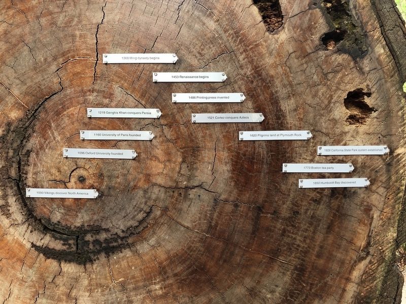
Redwood Time-ring
Photographed by Barry Swackhamer, September 8, 2019
1. Redwood Time-ring Marker
Erected by California State Parks.
Topics. This historical marker is listed in this topic list: Notable Events.
Location. 40° 18.496′ N, 123° 54.496′ W. Marker is near Myers Flat, California, in Humboldt County. It can be reached from Avenue of the Giants near Pensula Road, on the right when traveling north. Touch for map. Marker is at or near this postal address: 17119 Avenue of the Giants, Myers Flat CA 95554, United States of America. Touch for directions.

Regionally, this marker is in the North Coast, specifically on the Coast Ranges, and in the Klamath Mountains. It is also on the American Pacific Coast and in the Pacific Northwest. Globally, it is in North America,
this page online
Other nearby markers. At least 8 other markers are within 4 miles of this marker, measured as the crow flies: Old Giant Redwood Tree (approx. 0.2 miles away); Mother Nature Cannot Be Tamed (approx. 1½ miles away); Humboldt Redwoods State Park (approx. 1½ miles away); Laura Perrott Mahan & James P. Mahan (approx. 2.8 miles away); The Tangled Roots of Founders Grove (approx. 3.2 miles away); The Shrine Tree (approx. 3.3 miles away); "Ltcuntadun" (approx. 3.4 miles away); Swept Away (approx. 3.4 miles away).
More about this marker. This marker is located at the Visitors Center of Humboldt Redwoods State Park.
Photographed by Barry Swackhamer, September 8, 2019
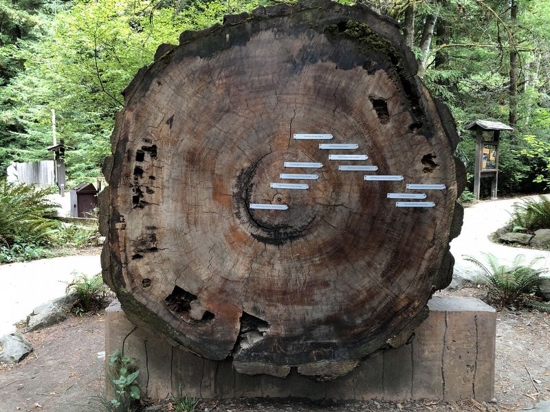
2. Redwood Time-ring Marker
Photographed by Barry Swackhamer, September 8, 2019
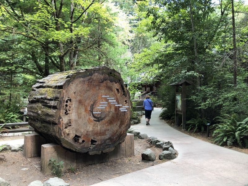
3. Redwood Time-ring Marker
Credits. This page was last revised on September 23, 2019. It was originally submitted on September 23, 2019, by Barry Swackhamer of Brentwood, California. This page has been viewed 1,408 times since then and 104 times this year. Photos: 1, 2, 3. submitted on September 23, 2019, by Barry Swackhamer of Brentwood, California.
