Keifers in Allegany County, Maryland — The American Northeast (Mid-Atlantic)
Paw Paw Tunnel Hill Trail
Chesapeake and Ohio Canal National Historical Park
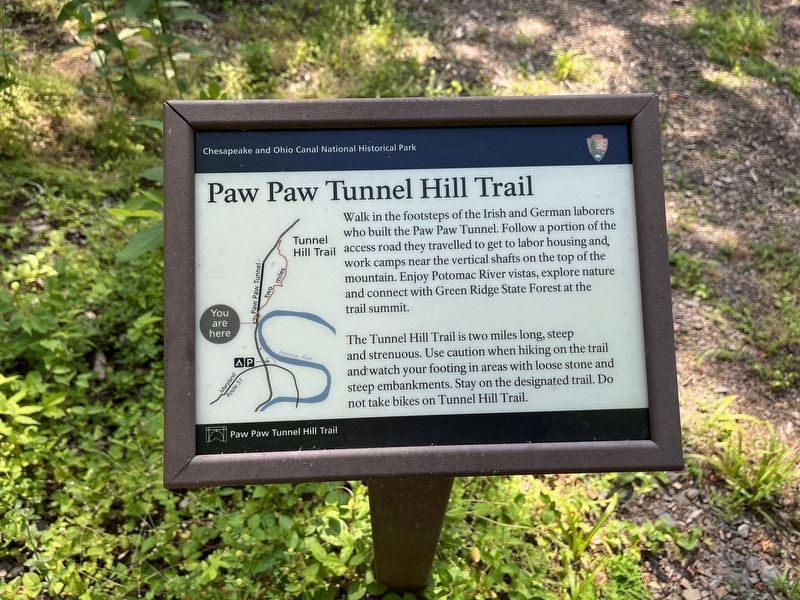
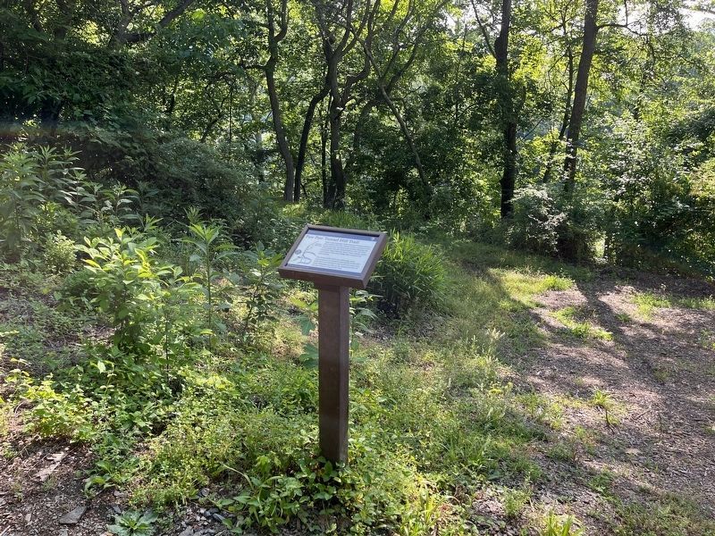
Walk in the footsteps of the Irish and German laborers who built the Paw Paw Tunnel. Follow a portion of the access road they travelled to get to labor housing and work camps near the vertical shafts on the top of the mountain. Enjoy Potomac River vistas, explore nature and connect with Green Ridge State Forest at the trail summit.
The Tunnel Hill Trail is two miles long, steep and strenuous. Use caution when hiking on the trail and watch your footing in areas with loose stone and steep embankments. Stay on the designated trail. No not take bikes on Tunnel Hill Trail.
Erected by National Park Service, U.S. Department of the Interior.
Topics and series. This historical marker is listed in these topic lists: Industry & Commerce • Waterways & Vessels. In addition, it is included in the Chesapeake and Ohio (C&O) Canal series list. A significant historical year for this entry is 1836.
Location. 39° 33.014′ N, 78° 27.774′ W. Marker is in Keifers, Maryland, in Allegany County. It can be reached from Tunnel Hill Road 0 miles north of Oldtown Road SE. Use parking lot for the Chesapeake & Ohio Canal National Historic
this page online

Regionally, this marker is in Western Maryland. It is also in the American Mid-Atlantic, in Appalachia, and specifically in Northern Appalachia. Globally, it is in North America, the Western Hemisphere, the Western World, and the Anglosphere. Historically, it finds itself in what was once one of the original Thirteen Colonies.
Other nearby markers. At least 8 other markers are within 2 miles of this marker, measured as the crow flies: Breaking Through a Mountain (a few steps from this marker); Going Against the Grain (a few steps from this marker); West Virginia (Morgan County) / Maryland (approx. 0.9 miles away in West Virginia); In Memoriam (approx. 1.1 miles away in West Virginia); Paw Paw, W. Va Honor Roll (approx. 1.1 miles away in West Virginia); Roll of Honor (approx. 1.1 miles away
Also see . . .
1. Paw Paw Tunnel. Maryland Historical Trust Architectural Survey File (Submitted on September 23, 2019.)
2. History & Culture, Chesapeake & Ohio National Historical Park. National Park Service website entry (Submitted on September 23, 2019.)
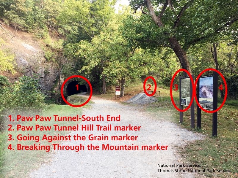
National Park Service, Thomas Stone National Historic Site, September 16, 2019
3. Landscape surrounding marker.
Viewing north towards marker.
National Park Service, Thomas Stone National Historic Site, September 16, 2019
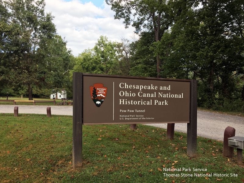
4. Chesapeake & Ohio Canal National Historical Park-Paw Paw Tunnel entrance sign
Viewing north towards sign and the Superintendent's House.
National Park Service, Thomas Stone National Historic Site, September 16, 2019
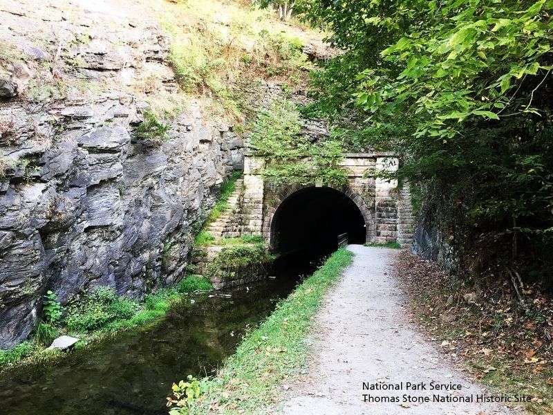
5. Paw Paw Tunnel
Viewing north towards tunnel.
Credits. This page was last revised on November 7, 2024. It was originally submitted on September 23, 2019. This page has been viewed 830 times since then and 54 times this year. Photos: 1, 2. submitted on June 13, 2022, by Devry Becker Jones of Washington, District of Columbia. 3, 4, 5. submitted on September 23, 2019. • Andrew Ruppenstein was the editor who published this page.
