1707 Meeting House
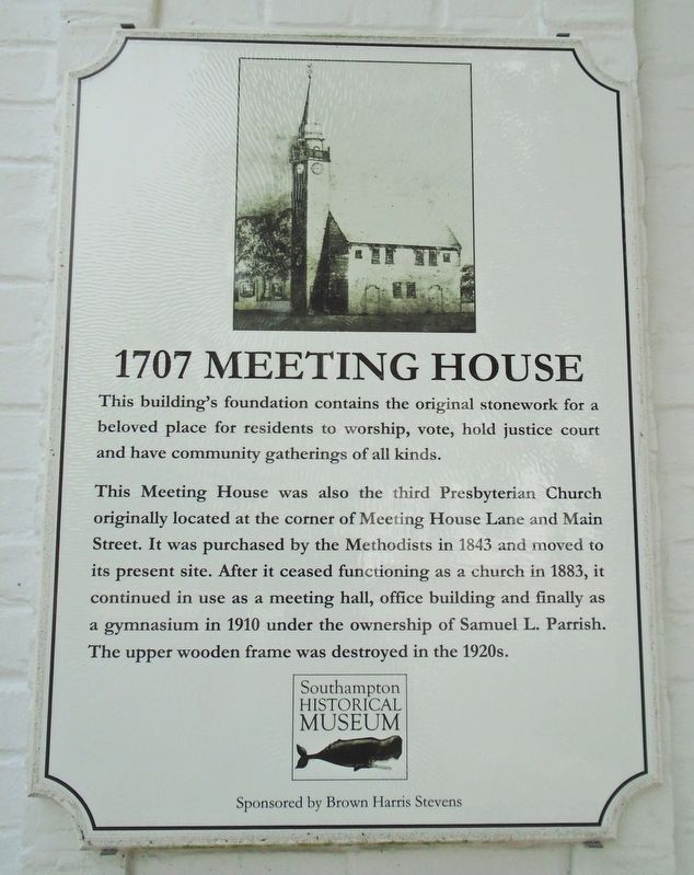
This building's foundation contains the original stonework for a beloved place for residents to worship, vote, hold justice court and have community gatherings of all kinds.
This Meeting House was also the third Presbyterian Church originally located at the corner of Meeting House Lane and Main Street. It was purchased by the Methodists in 1843 and moved to its present site. After it ceased functioning as a church in 1883, it continued in use as a meeting hall, office building and finally as a gymnasium in 1910 under the ownership of Samuel L. Parrish. The upper wooden frame was destroyed in the 1920s.
Erected by Southampton Historical Museum and Brown Harris Stevens.
Topics. This historical marker is listed in these topic lists: Man-Made Features • Religion & Religious Structures. A significant historical year for this entry is 1843.
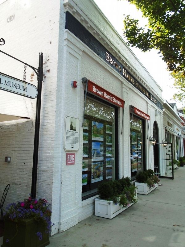
Location. 40° 53.097′ N, 72° 23.358′ W. Marker is in Southampton, New York, in Suffolk County. It is on Main Street north of Meeting House Lane, on the right when traveling north. Touch for map. Marker is at or near this postal address: 24 Main Street, Southampton NY 11968, United
this page online

Regionally, this marker is in the New York City Metropolitan Area and on Long Island. It is also in the American Northeast, in the Mid-Atlantic, and on the Eastern Seaboard. Globally, it is in the North Atlantic Region, North America, the Western Hemisphere, the Western World, and the Anglosphere. Historically, it finds itself in what was once New Netherland and also one of the original Thirteen Colonies.
Other nearby markers. At least 8 other markers are within walking distance of this marker: Ye Towne Street (about 300 feet away, measured in a direct line); Soldiers and Sailors Memorial (approx. 0.2 miles away); Village of Southampton Time Capsule (approx. ¼ mile away); Lt. Colonel Lawrence R. Boyll, Sr. (approx. ¼ mile away); Southampton World War II and Korean War Veterans Memorial (approx. ¼ mile away); Southampton World War I Memorial (approx. ¼ mile away); Pyrrhus Concer (approx. 0.3 miles away); North End Graveyard (approx. 0.3 miles away). Touch for a list and map of all markers in Southampton.
Credits. This page was last revised on September 24, 2019. It was originally submitted on September 24, 2019, by William Fischer, Jr. of Reynoldsburg, Ohio. This page has been viewed 371 times since then and 22 times this year. Photos: 1, 2. submitted on September 24, 2019, by William Fischer, Jr. of Reynoldsburg, Ohio.
