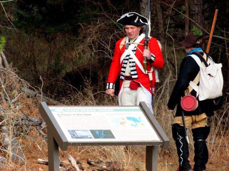
Barnegat in Barnegat Township in Ocean County, New Jersey — The American Northeast (Mid-Atlantic)
A Haven in the Heat
Cedar Bridge Tavern
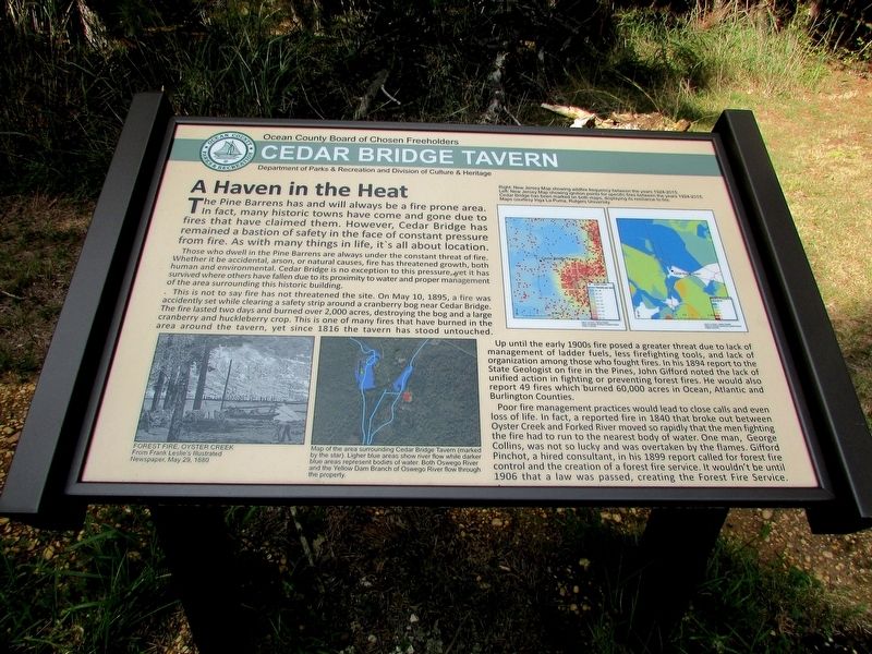
The Pine Barrens has and will always be a fire prone area. In fact, many historic towns have come and gone due to fires that have claimed them. However, Cedar Bridge has remained a bastion of safety in the face of constant pressure from fire. As with many things in life, it’s all about location.
Those who dwell in the Pine Barrens are always under the constant threat of fire. Whether it be accidental, arson, or natural causes, fire has threatened growth, both human and environmental. Cedar Bridge is no exception to this pressure, yet it has survived where others have fallen due to its proximity to water and proper management of the area surrounding this historic building.
This is not to say that fire has not threatened the site. On May 10, 1895, a fire was accidentally set while clearing a safety strip around a cranberry bog near Cedar Bridge. The fire lasted two days and burned over 2,000 acres, destroying the bog and a large cranberry and huckleberry crop. This is one of many fires that have burned in the area around the tavern, yet since 1816 the tavern has stood untouched.
Up until the early 1900s fire posed a greater threat due to lack of management of ladder fuels, less firefighting tools, and lack of organization among those who fought fires. In his 1894 report to the State Geologist on fire in the Pines, John Gifford noted the lack of unified action in fighting or preventing forest fires. He would also report 49 fires which burned 60,000 acres in Ocean, Atlantic and Burlington Counties.
Poor fire management practices would lead to close calls and even loss of life. In fact, a reported fire in 1840 that broke out between Oyster Creek and Forked River moved so rapidly that the men fighting the fire had to run to the nearest body of water. One man, George Collins, was not so lucky and was overtaken by the flames. Gifford Pinchot, a hired consultant, in his 1899 report called for forest fire control and the creation of a forest fire service. It wouldn’t be until 1906 that a law was passed, creating the Forest Fire Service.
Erected by Ocean County Board of Chosen Freeholders, Ocean County Department of Parks and Recreation.
Topics. This historical marker is listed in this topic list: Natural Features.
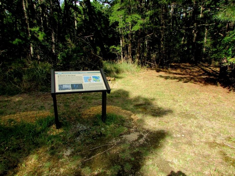
Location. 39° 47.013′ N, 74° 21.612′ W. Marker is in Barnegat Township, New Jersey, in Ocean County. It is in Barnegat. Marker is on Old Cedar Bridge Road, on the right when traveling west. Marker is located across the road from the Cedar Bridge Tavern. Touch for map. Marker is at or near this postal address: 382 Old Cedar Bridge Rd, Barnegat NJ 08005, United States of America. Touch for directions.
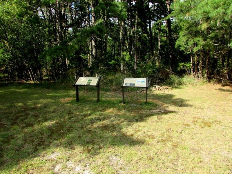
Other nearby markers. At least 8 other markers are within walking distance of this marker. Fire: Nature’s Double Agent (here, next to this marker); Land Between the Lines (a few steps from this marker); One in a Mill-ion (within shouting distance of this marker); Last Stand of the Revolution (within shouting distance of this marker); Historical Horticulture (about 300 feet away, measured in a direct line); Welcome to West Jersey (approx. 0.6 miles away); Welcome to East Jersey (approx. 0.6 miles away); Affair at Cedar Bridge (approx. 0.8 miles away). Touch for a list and map of all markers in Barnegat Township.
More about this marker. Two maps in the upper right of the marker have captions of, “Right: New Jersey Map showing wildfire frequency between the years 1924-2015.”
Left: New Jersey Map showing ignition points for specific fires between the years 1924-2015. Cedar Bridge has been marked on both maps, displaying its resilience to fire.
Maps courtesy Inga La Puma, Rutgers University”
The lower left of the marker contains a picture of a Forest Fire at Oyster Creek from Frank Leslie’s Illustrated Newspaper, May 29, 1880. Next to this is a “Map of the area surrounding Cedar Bridge (marked by the star). Lighter blue areas show river flow while darker blue areas represent bodies of water. Both Oswego River and the Yellow Dam Branch of Oswego River flow
through the property.”
Credits. This page was last revised on February 7, 2023. It was originally submitted on September 26, 2019, by Bill Coughlin of Woodland Park, New Jersey. This page has been viewed 225 times since then and 16 times this year. Photos: 1, 2, 3, 4. submitted on September 26, 2019, by Bill Coughlin of Woodland Park, New Jersey. 5. submitted on December 19, 2019, by Bill Coughlin of Woodland Park, New Jersey.
