South Kansas City in Raytown in Jackson County, Missouri — The American Midwest (Upper Plains)
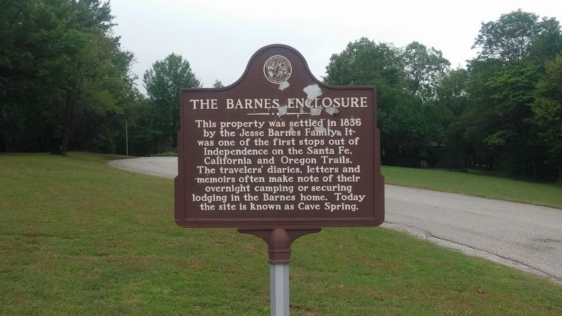
The Barnes Enclosure
Erected by Raytown Historical Society.
Topics. This historical marker is listed in these topic lists: Parks & Recreational Areas • Settlements & Settlers. A significant historical year for this entry is 1836.
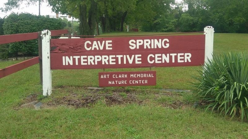
Location. 38° 59.703′ N, 94° 29.008′ W. Marker is in Raytown, Missouri, in Jackson County. It is in South Kansas City. Marker is on East Gregory Boulevard, 0 miles west of Blue Ridge Boulevard, on the left when traveling west. This marker is 282' west of Blue Ridge Boulevard on the south side of Gregory Boulevard, at the entrance to Cave Spring Park. Touch for map. Marker is at or near this postal address: 8701 East Gregory Boulevard, Kansas City MO 64133, United States of America. Touch for directions.
Other nearby markers. At least 8 other markers are within 3 miles of this marker, measured as the crow flies. Richards Flying Field (approx. 0.4 miles away); 1844 Homestead (approx. 0.6 miles away); William Ray Blacksmith Shop (approx. 1.4 miles away); Where Wagons Rolled / Wieduwilt Swales (approx. 1.9 miles away); Byram's Ford Historic District (approx. 2˝ miles away); Contested Crossing (approx. 2.6 miles away); Storm of Lead (approx. 2.6 miles away); Byram's Ford and the Battle of Westport (approx. 2.6 miles away). Touch for a list and map of all markers in Raytown.
Credits. This page was last revised on February 10, 2023. It was originally submitted on September 29, 2019, by Michael E Sanchez, Jr. of Kansas City, Missouri. This page has been viewed 397 times since then and 39 times this year. Photos: 1, 2, 3. submitted on September 29, 2019, by Michael E Sanchez, Jr. of Kansas City, Missouri. • Andrew Ruppenstein was the editor who published this page.


