Near Grace in Caribou County, Idaho — The American West (Mountains)
Black Canyon Gorge

Photographed By Barry Swackhamer, August 10, 2019
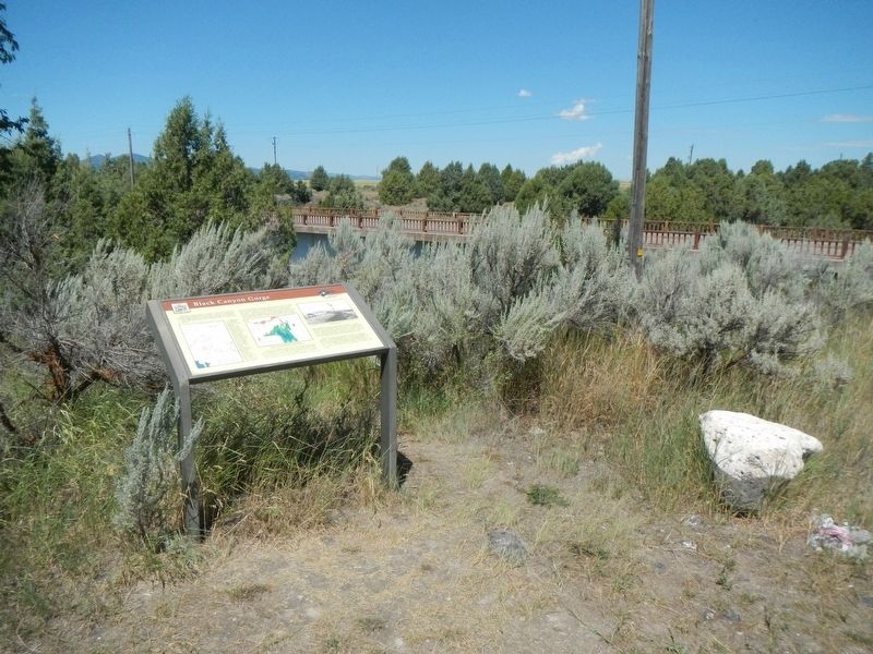
1. Black Canyon Gorge Marker
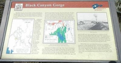
Captions: (map, bottom left) Osborn (sic) Russell's party of mountain men had their 1835-36 winter camp northwest of here. ("Journal of a Trapper" Aubrey I. Hanines); (center) Map of Lake Bonneville and the path of its flood. (Paul Link and Chilton Phoenix, "Rocks, Rails & Trails"); (upper right) Excavation of rock for the Grace hydroelectric plant and dam on the Bear River in 1913.
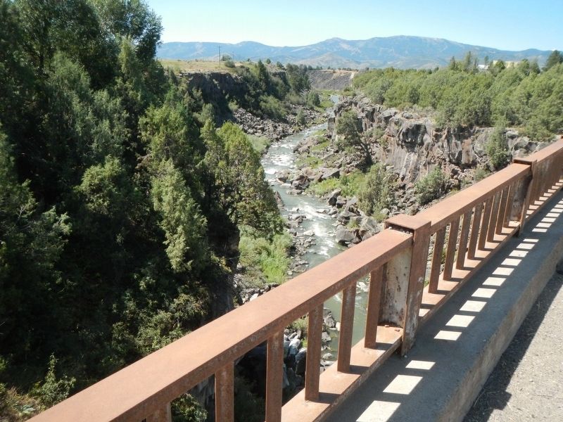
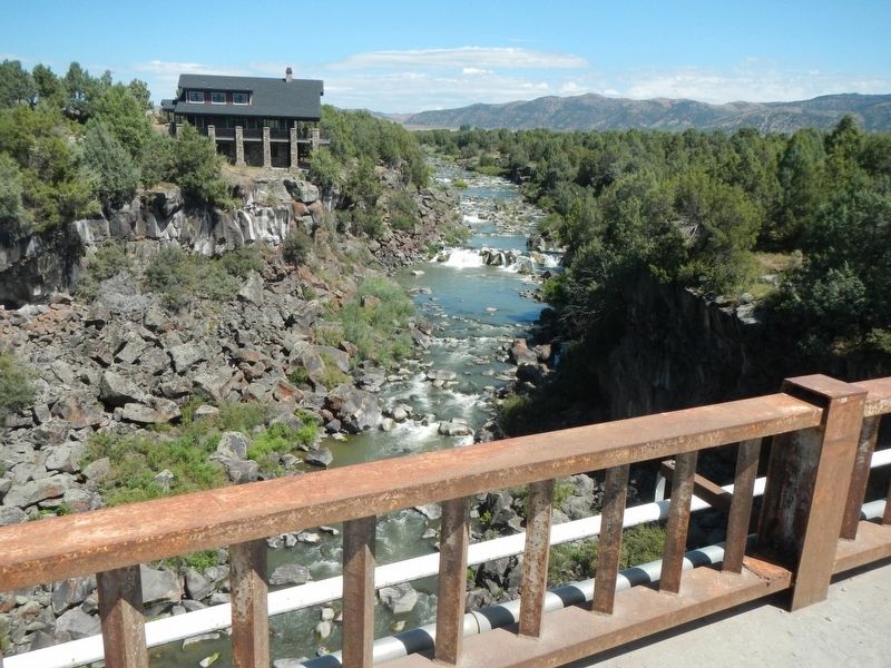
Within the last 500,000 years, during middle Pliestocene time, many small basalt volcanoes and cinder cones such as Ice Cave Knoll near Niter Ice Cave, erupted to form the Gem Valley Lava Field. These same flows diverted the Bear River from its previous northward drainage into the Snake River system and instead into the Great Basin and. thus, the Great Salt Lake. The Bear River cut the narrow, straight-sided canyon across young lava flows. South of here, the Bear River enters Oneida Narrows, a bedrock canyon cut through ancient quartzite of the Precambrian Brigham Group. This major canyon may have been first cut by a stream flowing northward into Idaho.
As long as 2 million years ago, lakes began forming in the Thatcher basin. The highest shorelines are about 5,480 feet in elevation, 330 feet above the Lake Bonneville shoreline, which is the level of the mouth of Black Canyon. The Bear River first flowed into Lake Thatcher 140,000 years ago, and again 50,000 years ago, preceding the overflow of Lake Thatcher into Lake Bonneville to the south. The northernmost arm of Lake Bonneville reached into flat, irrigated Gentile Valley south of here. Black Canyon is cut down to the base level of Lake Bonneville shoreline. Bear River cut deeper into the basalt lava to meet the lowering lake levels.
Before the river was altered for power or irrigation purposes, it had significant flow. An early photograph of the river near Grace clearly shows water depth within a few feet of the canyon rim. The photo caption illustrates the river's size. "Those who lived here will remember the roar of the river could be heard anywhere in the valley, night or day."
Erected by Idaho Transportation Department.
Topics. This historical marker is listed in this topic list: Natural Features.
Location. 42° 34.578′ N, 111° 45.03′ W. Marker is near Grace, Idaho, in Caribou County. Marker is at the intersection of Turner Road and River Road, on the left when traveling west on Turner Road. Touch for map. Marker is at or near this postal address: 1950 Turner Road, Grace ID 83241, United States of America. Touch for directions.
Other nearby markers. At least 8 other markers are within 6 miles of this marker, measured as the crow flies. Last Chance Canal Co. Ltd. (approx. one mile away); Last Chance Canal (approx. 2.6 miles away); Lava Flows and Wagon Trains (approx. 4.8 miles away); California dreaming in 1841 (approx. 4.8 miles away); Horatio's Journey (approx. 5˝ miles away); Guiding Landmark... (approx. 5˝ miles away); William Henry Harrison (approx. 5˝ miles away); Hudspeth Cutoff (approx. 5˝ miles away). Touch for a list and map of all markers in Grace.
More about this marker. The marker is located west of Grace, Idaho.
Credits. This page was last revised on September 30, 2019. It was originally submitted on September 30, 2019, by Barry Swackhamer of Brentwood, California. This page has been viewed 331 times since then and 31 times this year. Photos: 1, 2, 3, 4. submitted on September 30, 2019, by Barry Swackhamer of Brentwood, California.


