Cumberland in Allegany County, Maryland — The American Northeast (Mid-Atlantic)
Cumberland
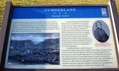
Strategic Center
In 1860, Cumberland was a small town of 7,302 residents, most of whom lived in the valley of Willís Creek. The town was an important stop on the Baltimore and Ohio Railroad and the western terminus of the Chesapeake and Ohio Canal. When the Civil War began in 1861, some residents supported the United States and others the Confederacy. Outright dissention ceased when Union forces garrisoned the town in June.
Cumberland soon became the administrative center for the defense of the western section of the railroad, the canal, and northern West Virginia. About 3,000 Union soldiers usually were stationed here, although the number increased periodically to as many as 8,000. Cumberland also served as a hospital and supply base, and when the war ended, it became a demobilization center. Military administrators occupied many buildings here during the war, while encampments sprang up on the outskirts of town and troops constructed fortifications on the surrounding hills to control approaches.
Confederate cavalry raiders frequently threatened to destroy area railroad facilities and bridges. The long-distance raids came from the east along the railroad or passed through West Virginia from the south, usually targeting less well-defended parts of the line. These hit-and-run raids created turmoil throughout the war. The Confederates attacked Cumberland itself only twice, most spectacularly on February 21, 1865, when Lt. Jesse McNeill and his Partisan Rangers (guerillas) captured Union Gen. Benjamin F. Kelley, who commanded the troops protecting the railroad, as well as Gen. George Crook.
Erected by Maryland Civil War Trails.
Topics and series. This historical marker is listed in this topic list: War, US Civil. In addition, it is included in the Chesapeake and Ohio (C&O) Canal, and the Maryland Civil War Trails series lists. A significant historical month for this entry is February 1863.
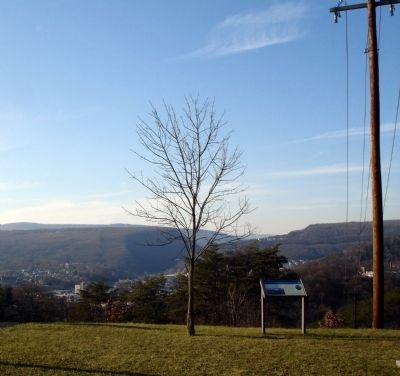
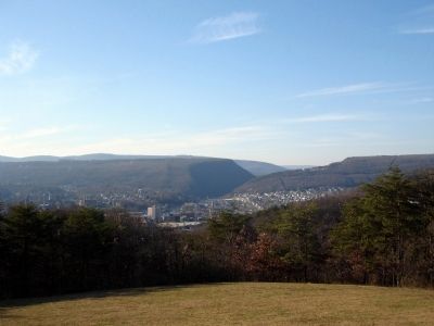
Location. 39° 38.978′ N, 78° 44.992′ W. Marker has been reported damaged. Marker is in Cumberland, Maryland, in Allegany County. Marker can be reached from Fort Avenue. This marker is located on the grounds of the City of Cumberland's Constitution Park. Touch for map. Marker is in this post office area: Cumberland MD 21502, United States of America. Touch for directions.
Other nearby markers. At least 8 other markers are within walking distance of this location. Cumberland Surrenders (a few steps from this marker); Monomoy Surfboat CG 26860 (approx. 0.2 miles away); Constitution Park (approx. ľ mile away); The Francis Haley House (approx. 0.4 miles away); Memorial Park (approx. 0.4 miles away); McNeillís Raid (approx. half a mile away); Capture of Generals (approx. half a mile away); A Boom for Cumberland (approx. half a mile away). Touch for a list and map of all markers in Cumberland.
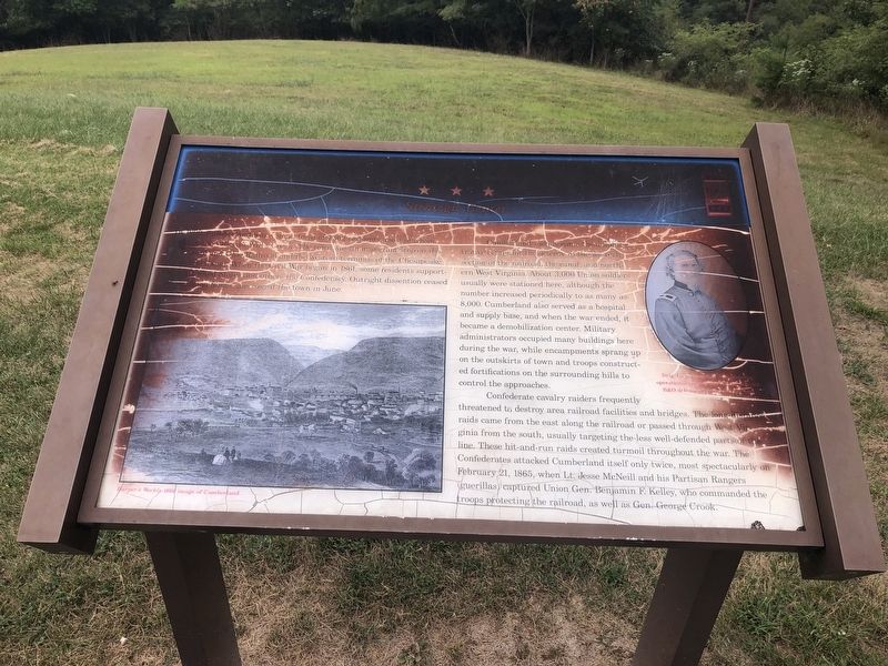
More about this marker. On the left of the marker is sketch captioned, Harper's Weekly 1866 image of Cumberland. On the upper right of the marker is a portrait captioned, Brig. Gen. Benjamin F. Kelley was a operational commander of the western B&O defenses throughout the war.
Also see . . . Cumberland, Maryland. Wikipedia entry (Submitted on August 30, 2022, by Larry Gertner of New York, New York.)

Photographed By Devry Becker Jones (CC0), September 1, 2019
5. Cumberland Marker in damaged condition, September 2019
Credits. This page was last revised on August 30, 2022. It was originally submitted on December 1, 2008. This page has been viewed 2,062 times since then and 27 times this year. Photos: 1, 2, 3. submitted on December 1, 2008. 4. submitted on December 22, 2020, by Larry Gertner of New York, New York. 5. submitted on September 7, 2019, by Devry Becker Jones of Washington, District of Columbia. • Craig Swain was the editor who published this page.


